Alert
Alerts
THEMED PATH: The Le Cloutas path

Description
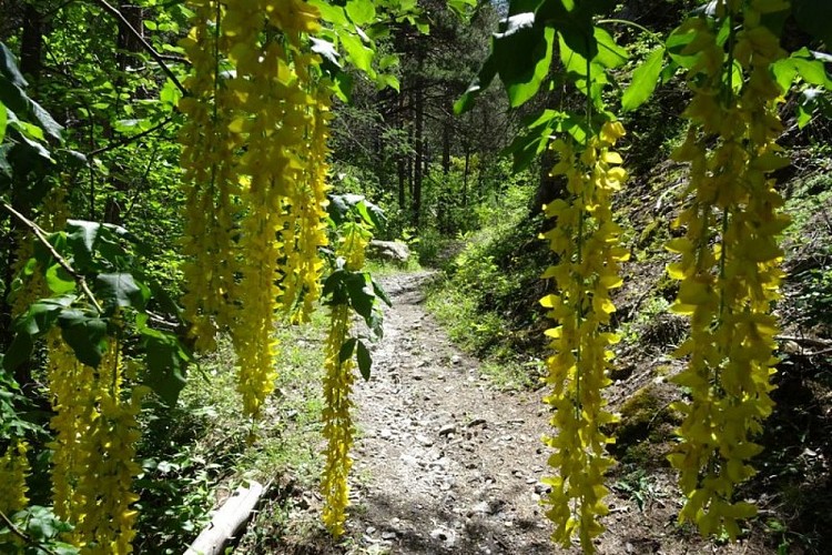
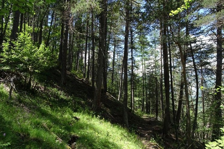
A pleasant forested path provided with information panels on life in bygone times.
From the car park, cross the road to Puy Saint-Vincent and follow the narrow road leading to a campsite, the Camping Les Vaudois, on the right-hand bank of the Gyronde.
After 100 metres, follow the GR route to the right towards Clot Arthaud (Via novo). It is a steep ascent. Then, at the next two intersections head towards the Pousterle plateau. Don't miss the fork just below a forest track. Just before this, you have to leave the GR route to take a level path on the right (paint mark: red and white cross indicating that you are leaving the GR route). There is an interpretation panel 30 metres further on.
Further on, do not carry on straight ahead but head to the right down a few steps (yellow ST arrow - ST = "Sentier Thématique" themed path) and shortly after this, near a large boulder where a spring flows, go left up a narrow path. After 50 metres, head downhill to the right along another narrow path which becomes more marked. Further down, you come to a snowshoe sign, which you follow. After the ruined mill, the path drops sharply to the right. It then passes through a meadow area and you carry on downhill. Finally, it leads off to the right before dropping down directly to the embankment of the road to Puy Saint-Vincent.
Technical Information
Altimetric profile
Starting point
Points of interest


Additional information
Public transport
Public transport >> www.pacamobilite.fr Consider car-sharing >> www.blablacar.fr For more information, ask at the Tourist Information Office nearest to the trail starting point.
Advice
Partly shaded path, steep at the start. Take care, in wet weather the roots, walkways and steps are slippery. Information panels are installed all the way along the path. Check weather conditions before setting off. Rescue services contact details: Secours Montagne (Mountain Rescue): +33 (0)4 92 22 22 22 or 112 Show consideration for the work of farmers, livestock keepers and owners Close all gates behind you Take your litter home Do not take shortcuts across pastureland
Advised parking
Car park near Le Pont du Rif, Les Vigneaux
Access
4.7 km from L'Argentière-La Bessée, take the D994E.
Arrival
Car park near Pont du Rif, Les Vigneaux
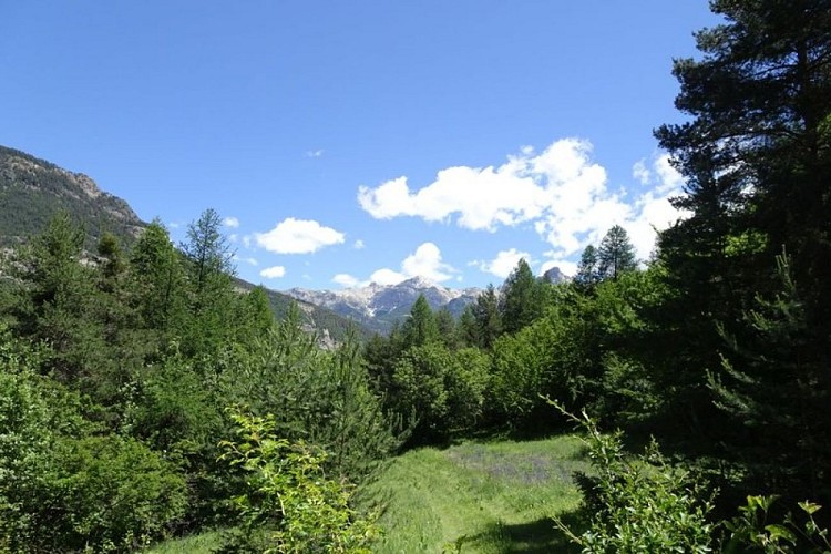
Ambiance
Almost buried among the trees, on the edge of a small clearing, the ruins of the old mill bear testimony to how the use of space has changed over the years How did the people here live? What was the surrounding landscape like? That is what this trail is all about: a little lesson in humility.
Departure
Car park near Pont du Rif, Les Vigneaux
Data author
