On the trail of Gaudentius
Description
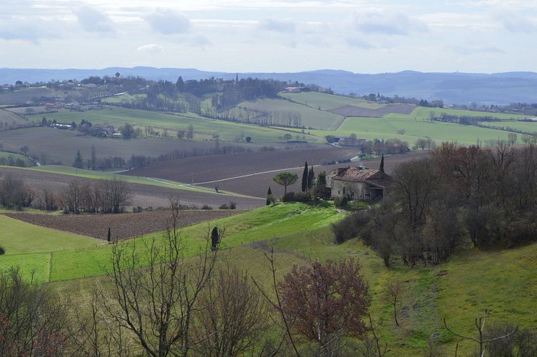
Take the Gaudentius trail and marvel at the exceptional views from the top of the valleys.
Pass along the old Lavaur road which linked Lautrec to Ambres. Go to the limestone site of the Prône which comes from a very distant past. Linger over the different landscapes which offer a surprising transition.
For the record, in 1270, Amaury Viscount of Lautrec and Baron of Ambres decided to found a bastide. He chose an uncultivated area on the banks of the Dadou, which he called Saint-Gauzens in memory of Sanctus-Gaudentius, a young shepherd from 400 AD who was beheaded by the Visigoth king.
Technical informations
9.4 km
|
max. 279 m
min. 147 m
239 m
| |||
Altimetric profile
Starting point
Additional information
Topo guides and map references
Topo guides references :
RandoTarn Sheet for sale in all Tourist Information Offices in la Toscane Occitane: 0.50€ each / 8€ for the box.
Contact
Phone : 0 805 400 828
Email : info@latoscaneoccitane.com
Website : www.la-toscane-occitane.com
Updated by
Office de Tourisme La Toscane Occitane - 23/02/2024
www.la-toscane-occitane.com/
Report a problem
