Alert
Alerts
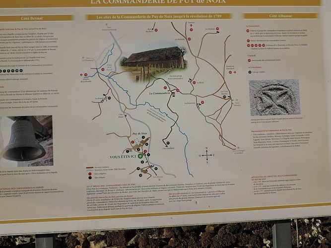
Le territoire de l'ancienne commanderie du Puy de Noix


Description
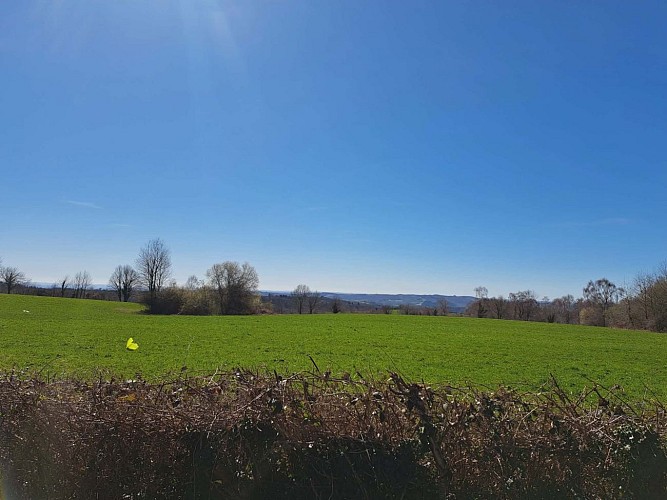
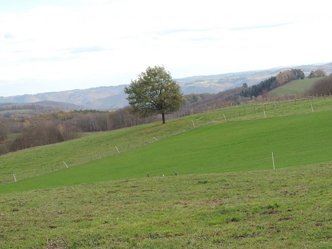
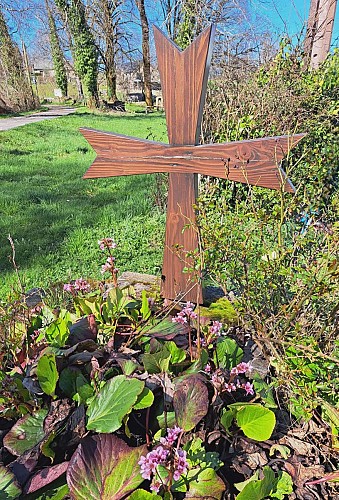
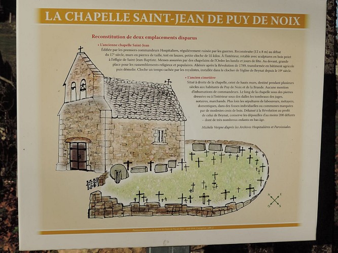
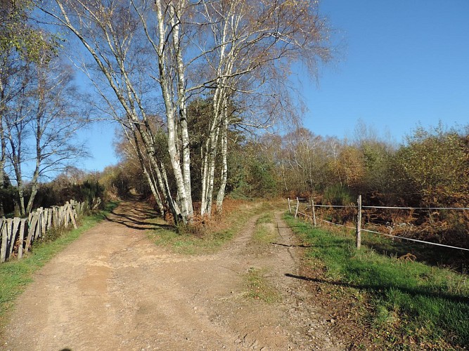
History and nature : This walk starts from the pond of Miel. Through the dirt roads, under the woods and meadows of Perrier, to reach the village of Puy de Noix, and its "historical space". We can see the religious commandery, its outbuildings and old cemetery. Then the village of La Brande with the apparent traces of an old pond and its canal leading the water to the old grain mill. This path will allow you to appreciate a point of view on the basin of Brive and two Natural Zones of Ecological, Faunistic and Floristic Interest (ZNIEFF).
Technical Information
Altimetric profile
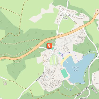
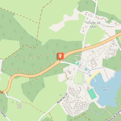
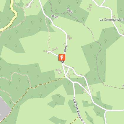
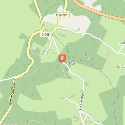
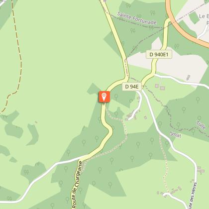
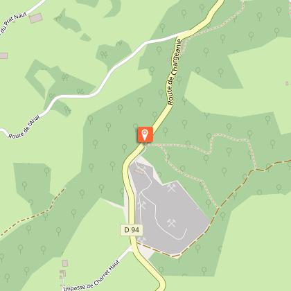
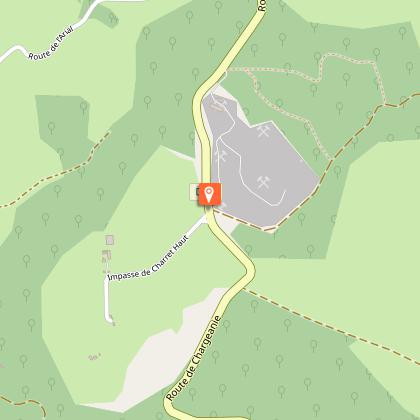
Starting point
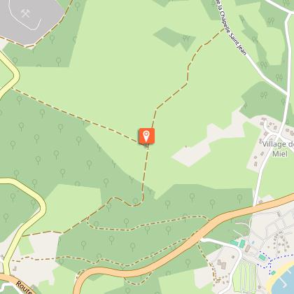
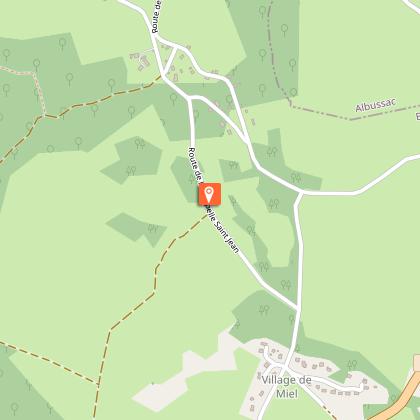
Steps
Additional information
Contact
Fixed telephone : +33 5 65 33 22 00
e-mail : info@vallee-dordogne.com
Balisage
Yellow
Typologie de l'itinéraire
Loop
Data author
