Alert
Alerts
Type of practice
Walking
Easy
4h
Presentation
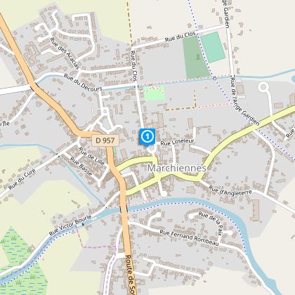
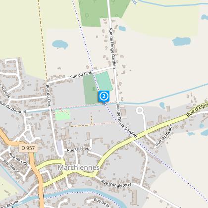
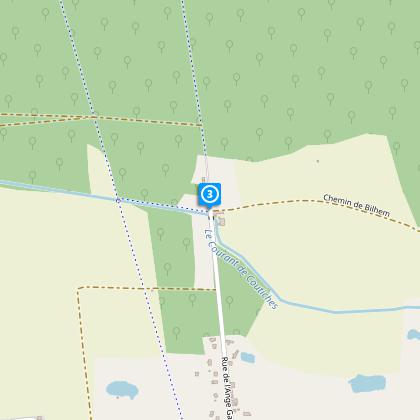
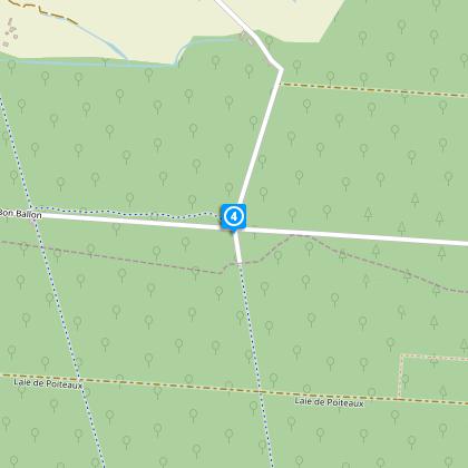
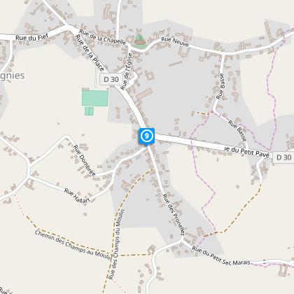
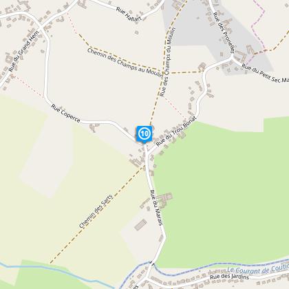
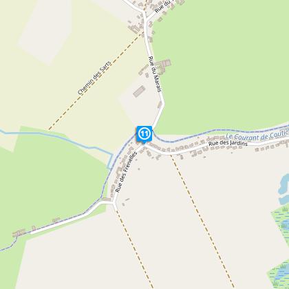
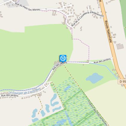
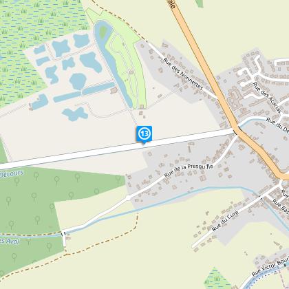
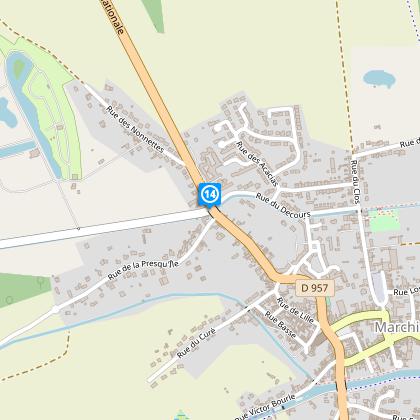
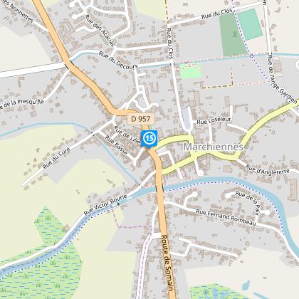
Map
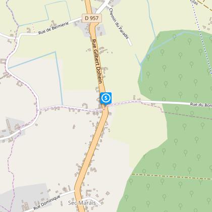
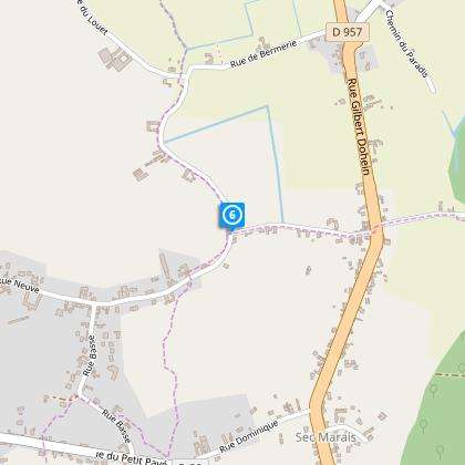
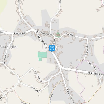
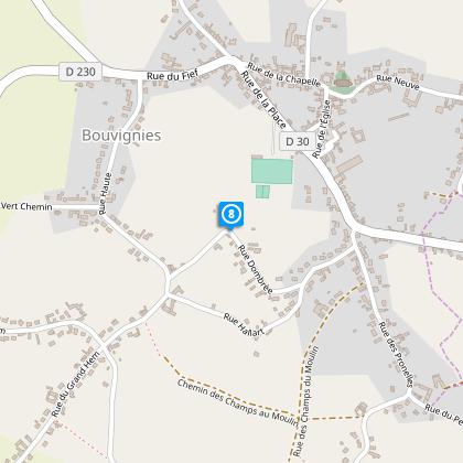
Steps
Points of interest
Cirkwi brief's
Ratings and reviews
See around
Birds Loop

Credit : Nord Tourisme
The Cirkwi brief
Discover the Bird Circuit: A Journey Through Marchiennes
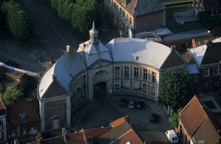
Offered by Nord Tourism, the Bird Circuit is a marvelous opportunity for nature and history enthusiasts. Winding through the lush landscapes of the Parc naturel régional Scarpe-Escaut, this medium-difficulty route promises a diverse array of sights and sounds. From the fascinating local history museum inside an ancient monastery prison to the serene paths lined with opportunities to spot various bird species, the journey is as educative as it is refreshing. Dive into the unique blend of biodiversity and architectural heritage that defines this captivating trek. Let the yellow markers guide you through an experience packed with discoveries.
Key Route Specifications
Spanning 13.2 kilometers with an elevation gain and loss each of 9 meters, the Bird Circuit demands moderate physical fitness. The variation in altitude from 17 meters at its lowest to 23 meters at its peak provides a relatively flat terrain, ideal for leisurely exploration. The trail marked in yellow offers not only a walk through nature but also an enjoyable challenge for those looking to stretch their legs amidst scenic views.
Seasonal Tips for Trail Trekkers
Regardless of the season, the Bird Circuit offers unique charms. In spring and summer, vibrant greenery and active wildlife make for an energizing walk, but always bring water and sun protection. Autumn transforms the landscape with a palette of warm colors, though paths may be slippery with fallen leaves - tread carefully. Winter treks are serene, with crisp air and possibly snow; layers and proper footwear are essential for warmth and stability. Safety is paramount; adhere to marked paths and weather advisories.
Rich History of Marchiennes
Marchiennes, with its profound historical and cultural significance, serves as an exceptional starting point for the Bird Circuit. Situated within the Nord department in the Hauts-de-France region, this area is steeped in a rich tapestry of history. From its genesis as a Benedictine abbey in the 7th century to the vivid recollections of World Wars, Marchiennes embodies a living history book. The circuit, in crossing through this territory, offers a unique lens through which to view the enduring legacy of the region's architectural marvels and its pivotal roles throughout French history.
Climate Insights for Optimal Visitation
The climate around Marchiennes is classified as temperate oceanic, with a generous distribution of rainfall throughout the year and mild fluctuations in temperature. The best time to embark on the Bird Circuit is from late spring to early autumn when weather conditions are ideal for hiking - minimal rain and pleasant temperatures enhance the experience. Winter months are cooler with occasional frost or snow, adding a magical aspect to the landscape, though potentially complicating travel plans.
Automatically generated.
Technical Information
Walking
Difficulty
Easy
Duration
4h
Dist.
13 km
Type of practice
Walking
Easy
4h
Show more
Altimetric profile
Starting point
13
place gambetta
,
59870
MARCHIENNES
Lat : 50.4078807783Lng : 3.28108875572
Steps
Points of interest
Data author

Ratings and reviews
To see around