Alert
Alerts
Type of practice
Walking
Hard
6h
Presentation
Description
Map
Points of interest
Ratings and reviews
See around
N°55 Col de la Cuarde


IGN cards

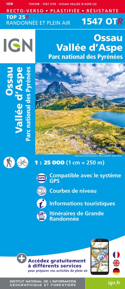
1547OTR - OSSAU VALLÉE D'ASPE RESISTANTE PN DES PYRÉNÉES
Editor : IGN
Collection : TOP 25 RÉSISTANTE
Scale : 1:25 000
17.20€

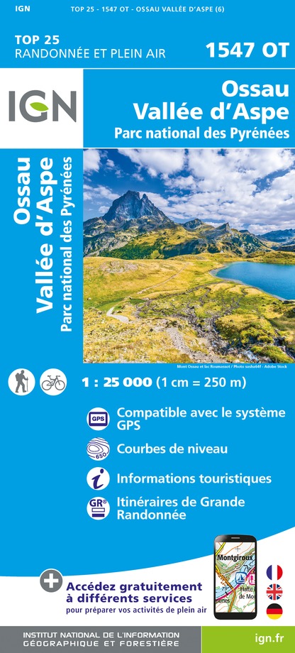
1547OT - OSSAU VALLÉE D'ASPE PN DES PYRÉNÉES
Editor : IGN
Collection : TOP 25 ET SÉRIE BLEUE
Scale : 1:25 000
13.90€

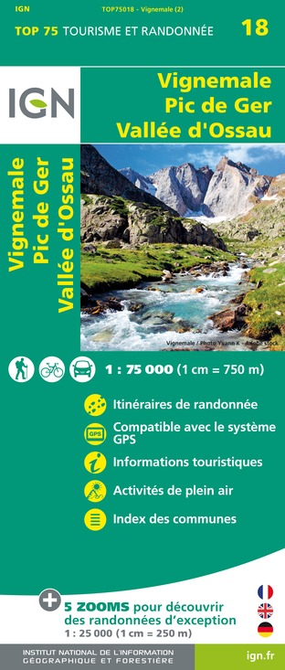
TOP75018 - VIGNEMALE PIC DE GER VALLEE D'OSSAU
Editor : IGN
Collection : TOP 75
Scale : 1:75 000
9.80€

166 DAX BAYONNE PAYS BASQUE
Editor : IGN
Collection : TOP 100
Scale : 1:100 000
8.40€

TOP100D64 - PYRÉNÉES-ATLANTIQUES PAU BAYONNE BIARRITZ PAYS BASQUE BÉARN
Editor : IGN
Collection : TOP 100
Scale : 1:100 000
8.40€

89030 - TRAVERSEE DES PYRENEES GR10®
Editor : IGN
Collection : DECOUVERTE DES CHEMINS
Scale : 1:100 000
9.10€

D64 PYRÉNÉES-ATLANTIQUES
Editor : IGN
Collection : CARTES DÉPARTEMENTALES IGN
Scale : 1:150 000
5.90€

NR10 NOUVELLE-AQUITAINE RECTO /VERSO LIMOUSIN POITOU
Editor : IGN
Collection : CARTES RÉGIONALES IGN
Scale : 1:250 000
6.80€

NR11 NOUVELLE-AQUITAINE RECTO/VERSO BASSIN AQUITAIN
Editor : IGN
Collection : CARTES RÉGIONALES IGN
Scale : 1:250 000
6.80€

EUROPE
Editor : IGN
Collection : DÉCOUVERTE DES PAYS DU MONDE IGN
Scale : 1:2 500 000
7.00€
Description
The Chemin de la Liberté (road to freedom), what a great image to entitle a trek! It is in fact a tribute to the people who ventured on this mountain pass to escape the occupation and prepare for the liberation. At the time and with the help of passersby, they went up the lush valley from the Lhers Plateau
Technical Information
Walking
Difficulty
Hard
Duration
6h
Dist.
15 km
Type of practice
Walking
Hard
6h
Show more
Altimetric profile
Starting point
Plateau de Lhers - Parking d'Aumet
,
64490
ACCOUS
Lat : 42.8914203Lng : -0.6341916
Points of interest
Additional information
Balisage
Yellow
Trait
Typologie de l'itinéraire
Return
Thèmes
Natural
Data author

proposed by
Communauté de Communes du Haut-Béarn
12 place Jaca 64400 Oloron-Sainte-Marie Cedex France
Ratings and reviews
To see around


