VTT N°49 - Anitch
Description
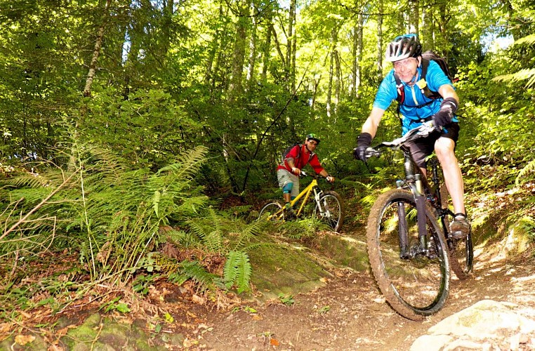
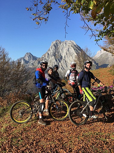
Out of all the enduro mountain biking options available to you in the Aspe Valley, the Anitch Woods is still the ultimate descent. With its 1000m elevation and some revitalising pedals, the atmosphere in this forest is unforgettable.
Technical informations
21 km
|
max. 1469 m
min. 450 m
1020 m
1020 m
| |||
Altimetric profile
Starting point
Steps

Crossing to the ridge
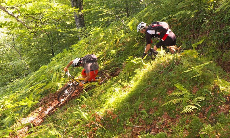
Go up the path that starts with a "challenging" section. It then crosses through a beautiful beech forest requiring good physical ability and balance if you decide not to put your feet on the ground! you will have to carry your bike for a few metres anyway. Continue on this ledge path and reach the ridge. There are gullies at some points so make sure the pedals don't touch. Avoid falling in certain areas as there are steep slopes.

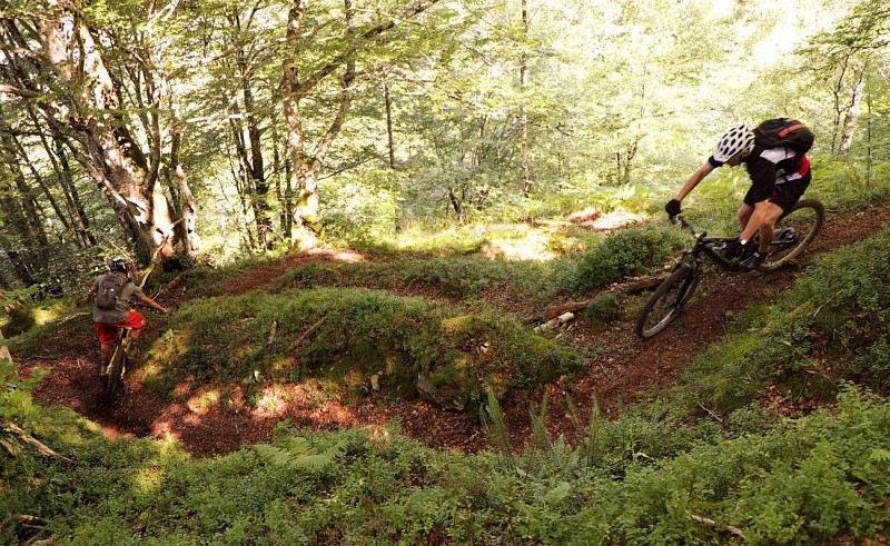
Magical Anitch Woods descent
Cross the stream and take the right-hand path. It starts out rolling followed by a kick-start that then runs into the paved bank and stream section. It may not be too strenuous but take a right on the gravelly bed and cross the stream. Continue on the path you can see clearly. The terrain changes with earth, roots, pebbles and even a carpet of foliage.

Connection
Fork left and ride on the widening path that gets very pebbly. Go past the bridge and down the path that has tarmac and gravel in places. Take the path ahead at the first bend. Continue along this rolling fun-filled ledge section that's ideal for overtaking!

End
At the crossroads, take the dirt track, go through the gate and down the gravel road. Go through the bends and when your view opens out, in a straight line, dive down a path on the right. The narrow single track on a bank rushes through a meadow and goes into the woods. Take a right at the crossroads and glide onto the enclosed path. The last few metres stand out for a short rocky section.
Points of interest
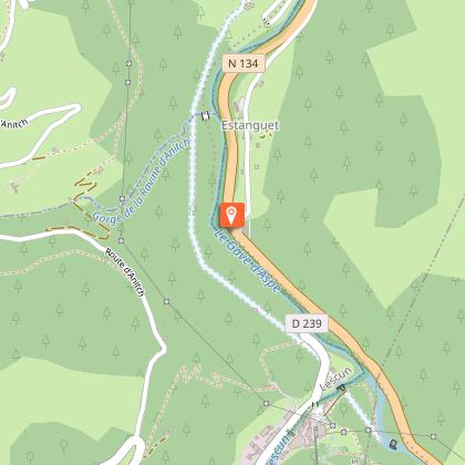
Estanguet Bridge
Estanguet Bridge where the accident occurred that would put an end to the use of the railway track in 1970.
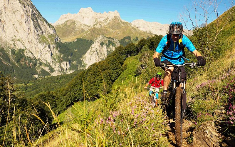
The Billare
Before starting the descent, take a look back to see the Lescun cirque and impressive Billare.
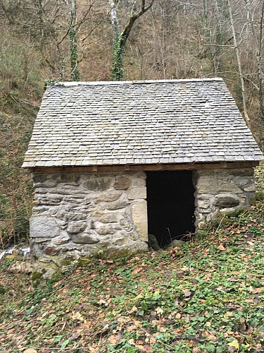
Mill
As you come out of the woods, after the footbridge there's an old mill moved by the stream coming from the Cabane de Boué.
Additional information
Balisage
Yellow
Triangle et deux ronds
Typologie de l'itinéraire
Loop
Equipements
Water point
Thèmes
Natural
Data author
