Alert
Alerts
Circuit du Pont de la Caille - Cycling itinerary


IGN cards


Description
This tour takes you through the rolling countryside of Annecy's hinterland, to the extraordinary Pont de la Caille, a listed monument well worth a visit. The return journey offers magnificent views of Lake Annecy and its peaks.
Points of interest
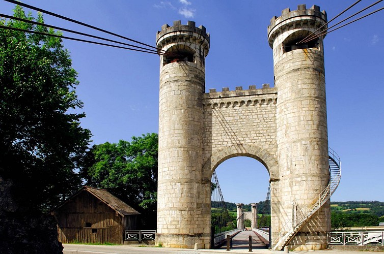
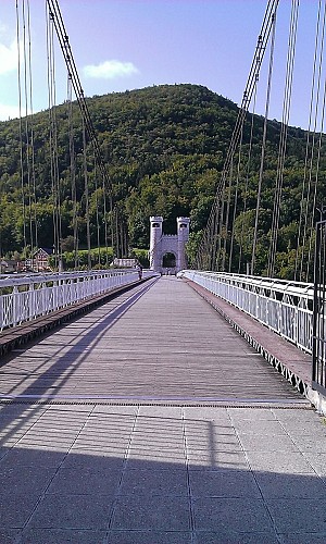
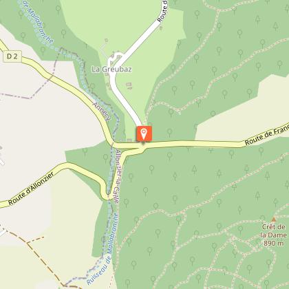
The La Caille suspension bridge, built in 1839 to cross the vertiginous gorges of the Usses, has been transformed into a footbridge reserved for pedestrians and cyclists. Discover the bucolic atmosphere of the hills and hamlets of the Montagne de la Mandallaz and the views over Lake Annecy, the Aravis massif and the Bauges.
Cycling advice
This is a very pleasant route to do in the shoulder season, as it takes place in the hills at low altitude.
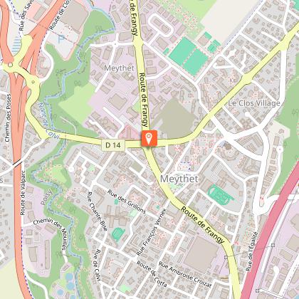
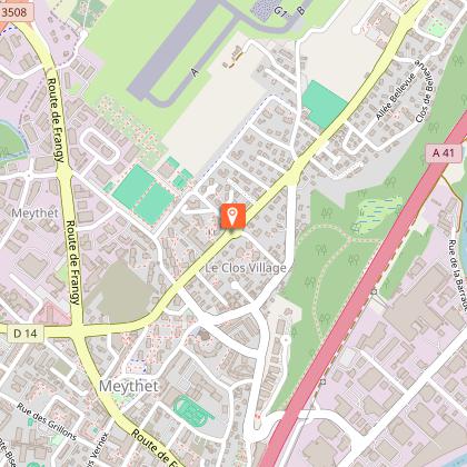
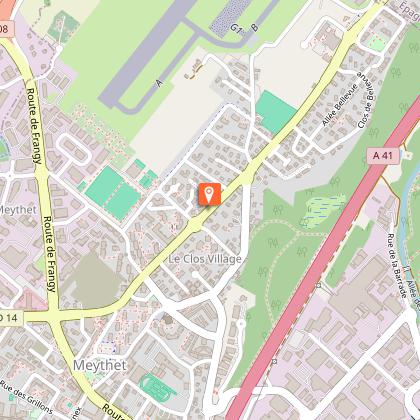
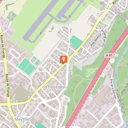
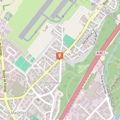
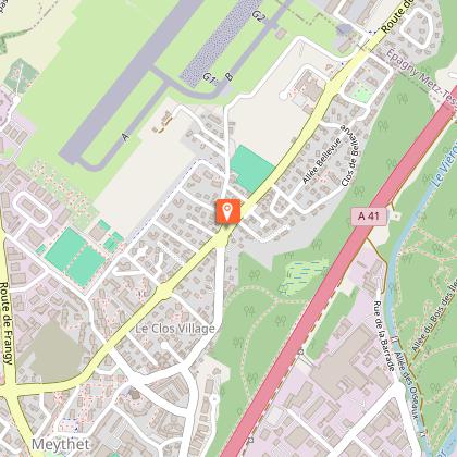
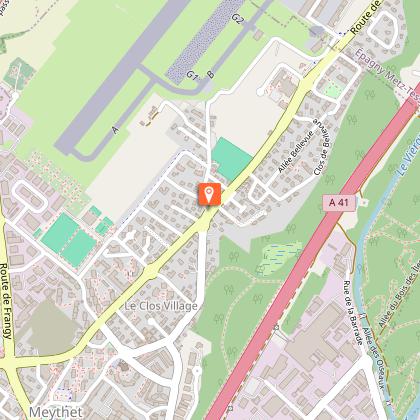
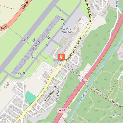
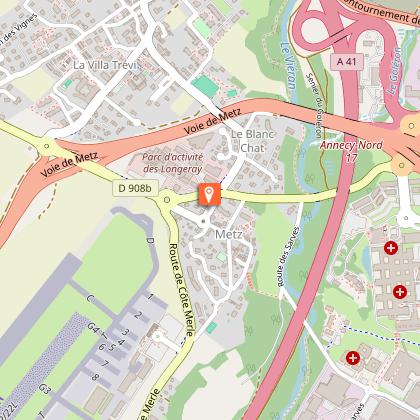
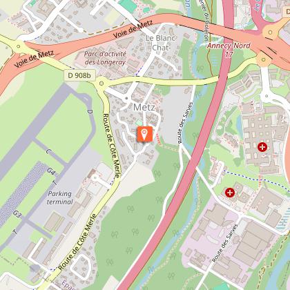
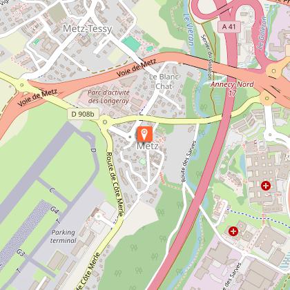
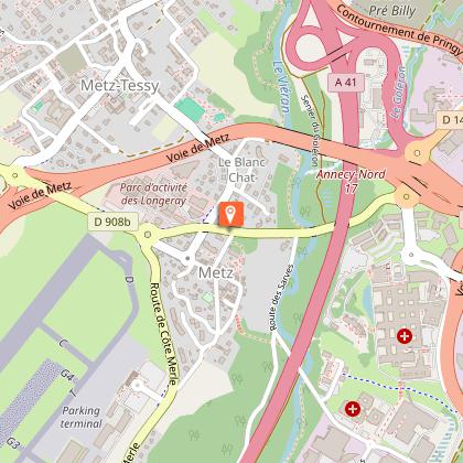
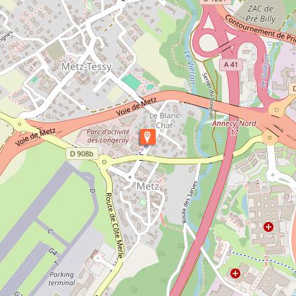
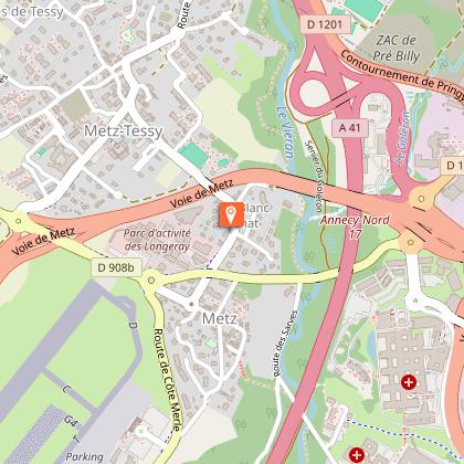
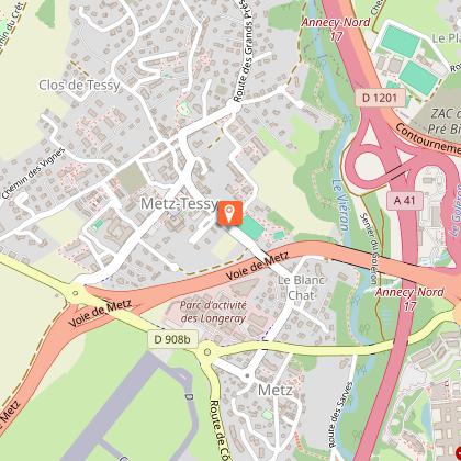
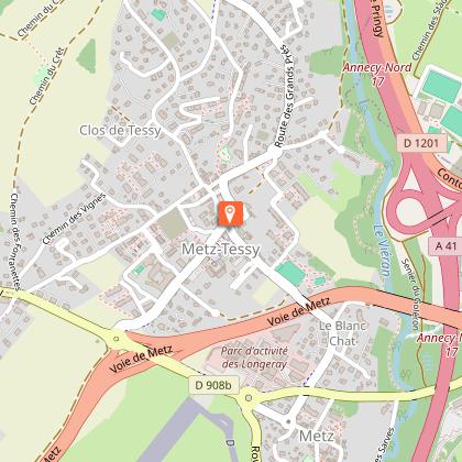
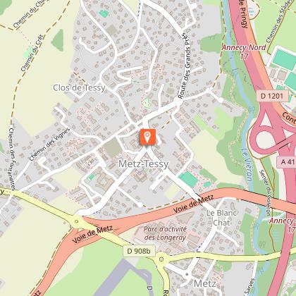
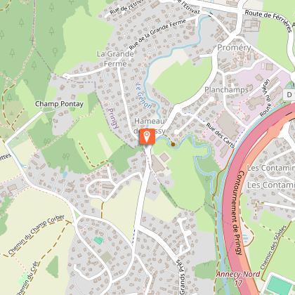
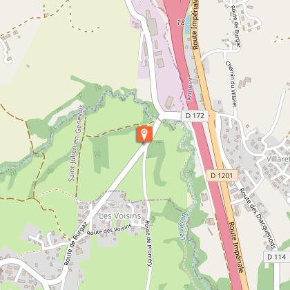
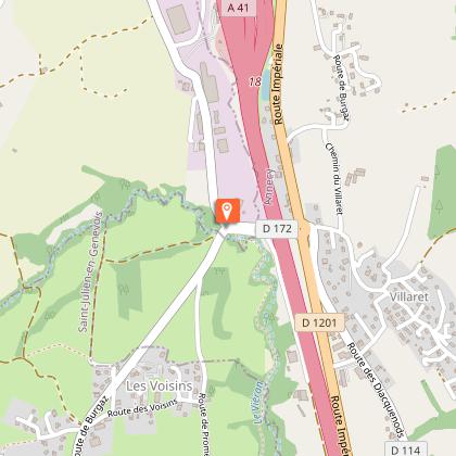
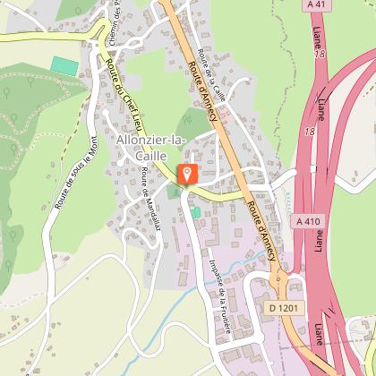
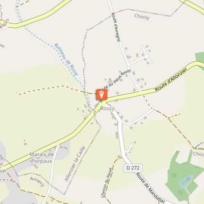
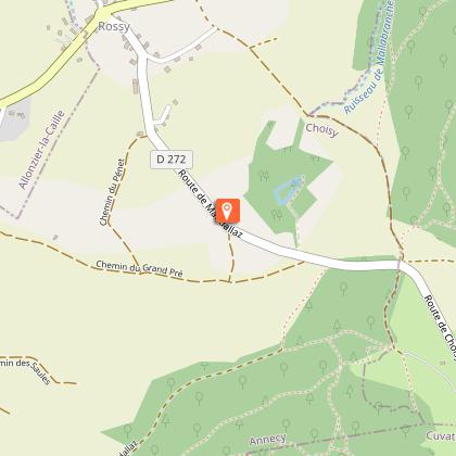
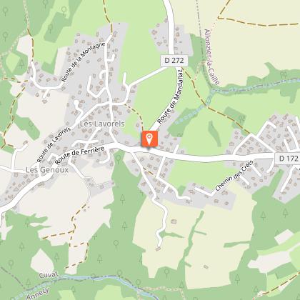
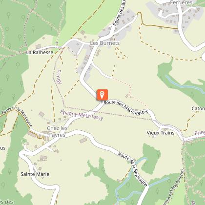
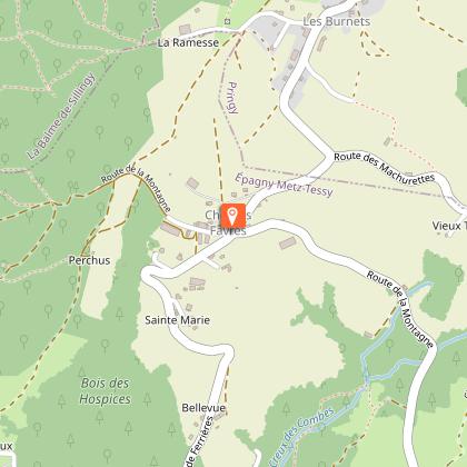
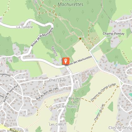
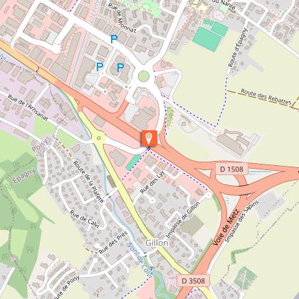
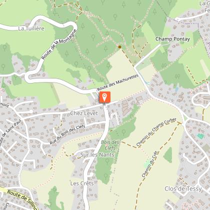
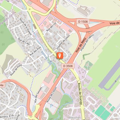
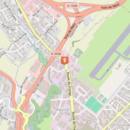
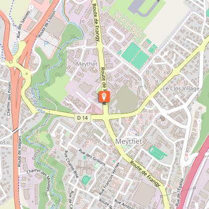
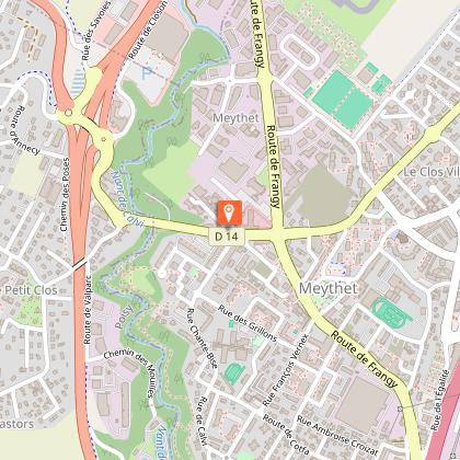
Direction : counter-clockwise Landmarks and connections : Meythet (split with Tour de la Montagne d'Age no. 5c and Tour de la Mandallaz no. 6, among others); Allonzier-la-Caille; carrefour des Quatre-Chemins (visit the Caille bridge and return downhill together with Tour de la Mandallaz no. 6). Description: If you take this tour, you'll get to see two extraordinary monuments for the price of one! While the Pont de la Caille is the world's oldest cable-stayed suspension bridge (1839, span 192 m, height 147 m above the Usses torrent), the adjacent road bridge is the world's largest unreinforced concrete arch bridge (232 m long). It's well worth the detour, especially as the suspension bridge, also known as the Charles-Albert Bridge and listed as a historic monument, is reserved for pedestrian traffic. Your starting route up to Meythet is shared with those of Tour de la Montagne d'Age n°5 and Tour de la Mandallaz n°6. At the intersection with the N508, continue straight ahead along the airfield. You will then cross Metz-Tessy and follow a small road on the side of a valley to Allonzier-la-Caille. Just over a kilometer further on, you'll come to the Quatre-Chemins crossroads. From here, continue to the Pont de la Caille, a 2 km round trip. Back at Quatre-Chemins, you'll join Tour de la Mandallaz n°6 (don't miss the sharp left turn at Rossy) for a spectacular descent with panoramic views over Lake Annecy.
Technical Information
Altimetric profile
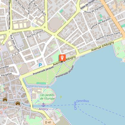
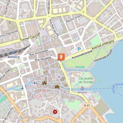
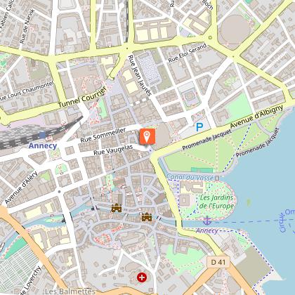
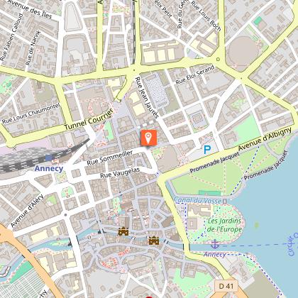
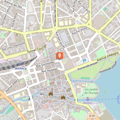
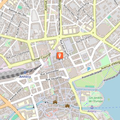
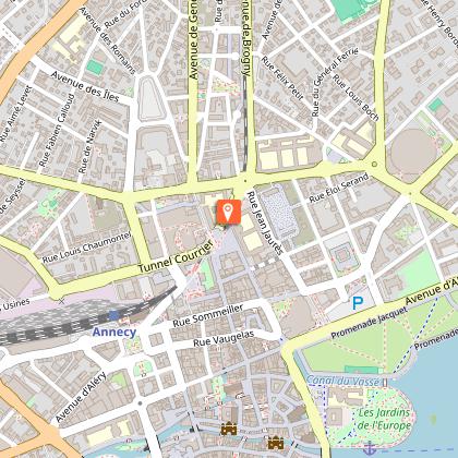
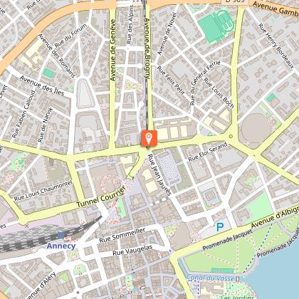
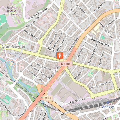
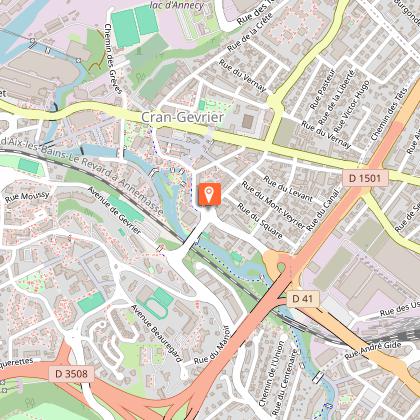
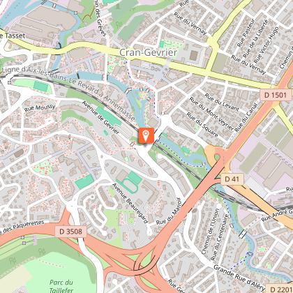
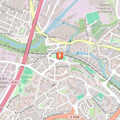
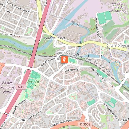
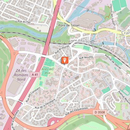
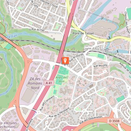
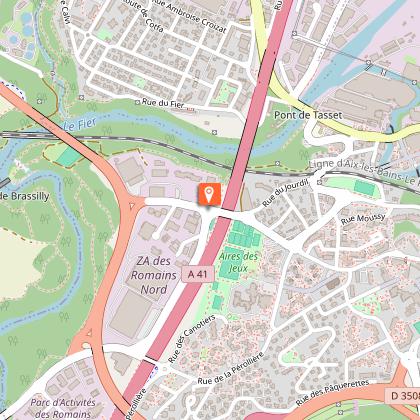
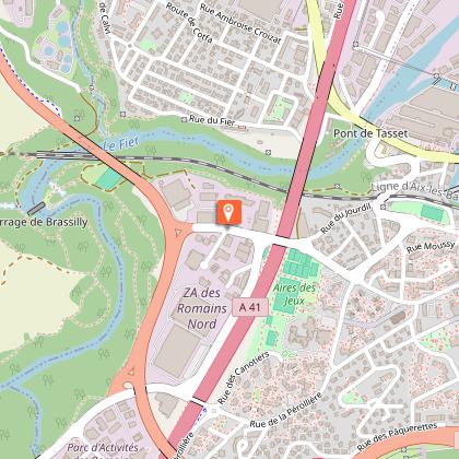
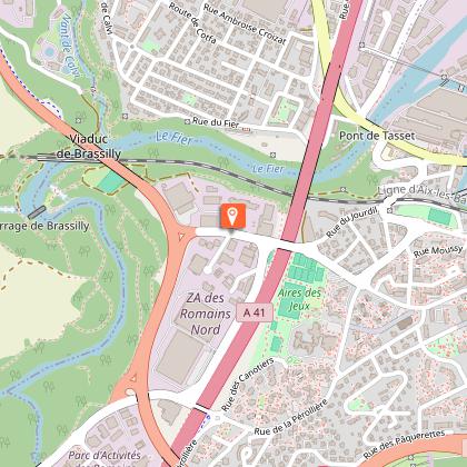
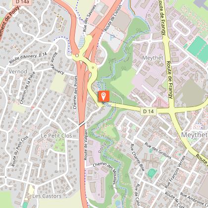
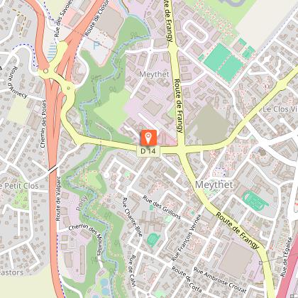
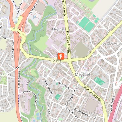
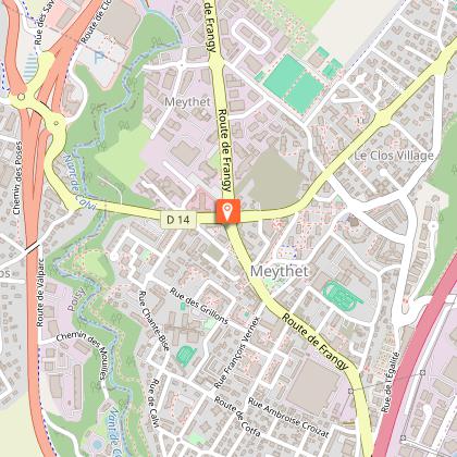
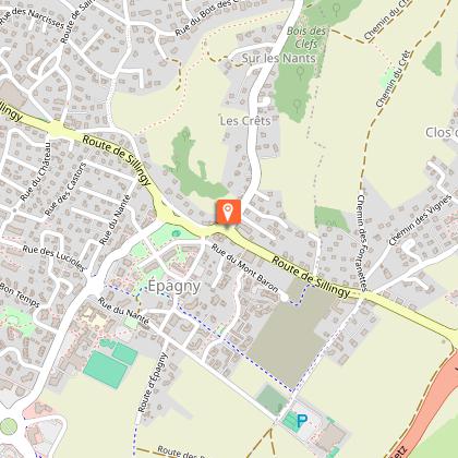
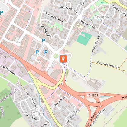
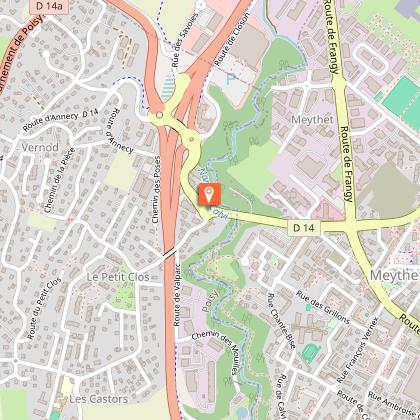
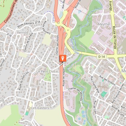
Starting point
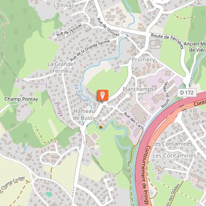
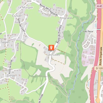
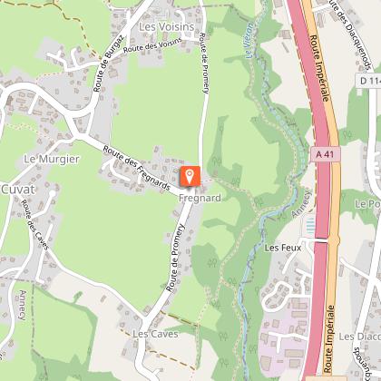
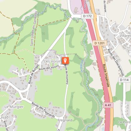
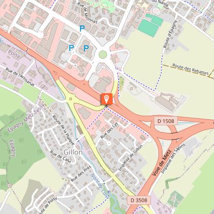
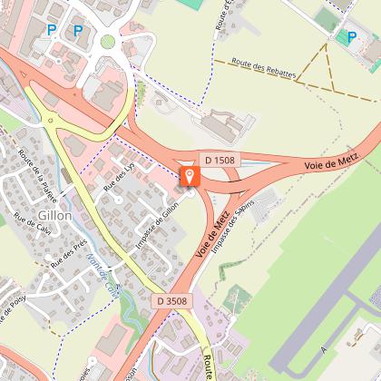
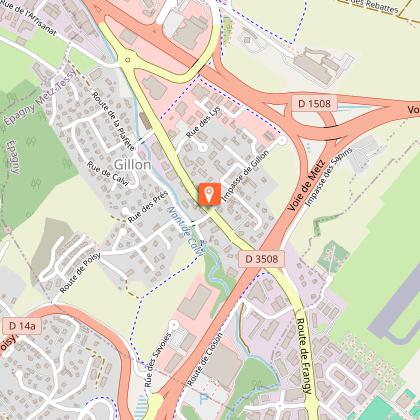
Steps


Additional information
Updated by
Conseil Départemental de la Haute-Savoie - 29/11/2025
www.hautesavoiexperience.fr
Report a problem
Open period
All year round daily.
Subject to favorable snow and weather conditions.
Contact
Phone : 04 50 45 00 33
Email : info@lac-annecy.com
Website : https://www.lac-annecy.com
Facebook : https://www.facebook.com/lacannecy.tourisme
Location complements
Car Park: Préfecture
Data author
