Alert

Alerts

To see around
See more
Open
Close
Show
Show
Show
Show
Show
Show
Show
Show
Show
Show
Show

Oups... It would appear that Cirkwi does not have permission to use your location.

Presentation
Description
Map
Steps
Points of interest
Ratings and reviews
See around

PR24: La Suave Trail

Description

During this walk, you’ll alternate between woodland and country lanes. The La Suave state-owned forest covers 276 hectares, more than two-thirds of which are within the municipality of Deneuille-les-Mines.

Shortened route: 8.6 km.

Technical Information

Walking
Difficulty
Easy
Duration
2h30mn
Dist.
11 km
Show more

Altimetric profile

Starting point

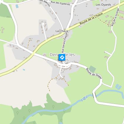
Place du village , 03170   Deneuille-les-Mines
Lat : 46.378988Lng : 2.781474

Steps

Additional information

Updated by

Office de Tourisme Intercommunal de Néris-les-Bains - 25/08/2026
www.cmnc03-tourisme.com/fr
Report a problem

Environments

Forest location
In the country
Village centre

Distinctions

Listed PDIPR

Open period

All year round daily.

Subject to favorable weather.

Contact

Phone : 04 70 03 11 03

Email : accueil@otnerislesbains.fr

Website : https://www.cmnc03-tourisme.com/fr/

Type of land

Stone
Ground
Hard coating (tar, cement, flooring)

Data author

2 avenue Marx Dormoy 03310 Néris-les-Bains France

Ratings and reviews

To see around
See more
Open
Close
Show
Show
Show
Show
Show
Show
Show
Show
Show
Show
Show
Caution!
We have no information on the difficulty of this circuit. You may encounter some surprises along the way. Before you go, please feel free to inquire more and take all necessary precautions. Have a good trip! 🌳🥾