Alert
Alerts
PR13 : The Sauvagny trails
Description
Come and explore the many kilometres of trails on offer in Sauvagny.
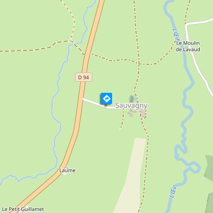
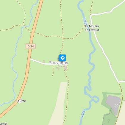
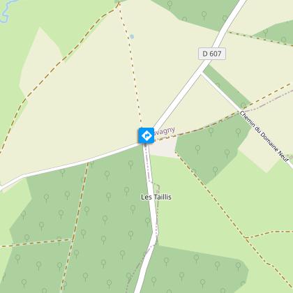
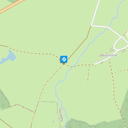
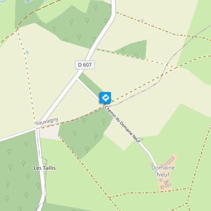
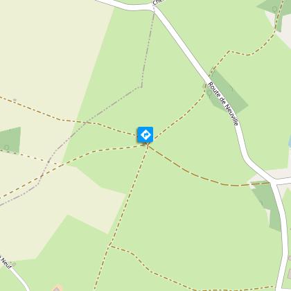
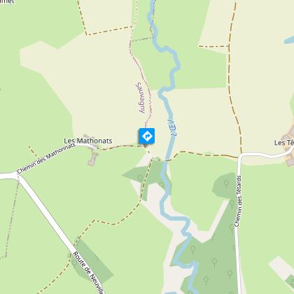
This long-distance hike takes you along part of the River Oeil and into the Suave National Forest. For those who prefer a shorter route, there are several shortcuts available.
Technical Information
Altimetric profile
Starting point
Steps
Additional information
Updated by
Office de Tourisme Intercommunal de Néris-les-Bains - 25/08/2026
www.cmnc03-tourisme.com/fr
Report a problem
Environments
In the country
Riverside
Village centre
Waterside
Distinctions
Listed PDIPR
Open period
All year round daily.
Subject to favorable weather.
Contact
Phone : 04 70 03 11 03
Email : accueil@otnerislesbains.fr
Website : https://www.cmnc03-tourisme.com/fr/
Type of land
Stone
Ground
Hard coating (tar, cement, flooring)
