Alert
Alerts
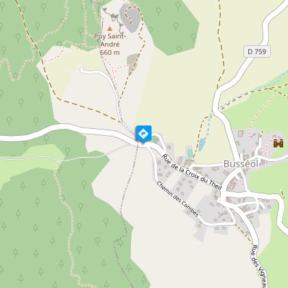
Busséol
Description
Although you're on the Limagne plain on this easy trail, you'll regularly have the impression of dominating from discreet villages set between hillsides and valley. The view of the perched Château de Busséol is almost permanent.
Technical Information
Altimetric profile
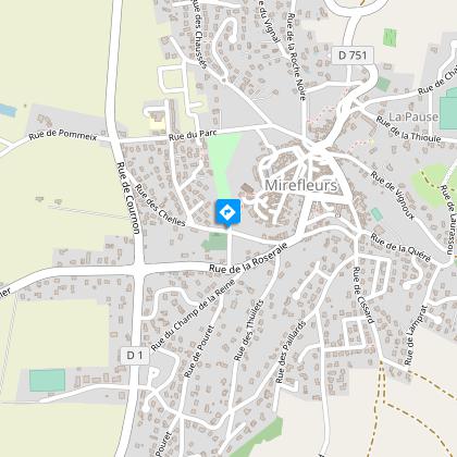
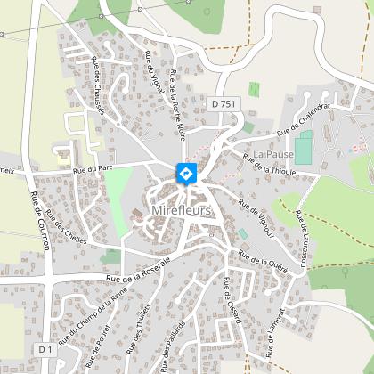
Starting point
Steps
Additional information
Tips
- Mirefleurs: winegrowing village surrounded by cultivated terraces known as "pailhats".
- Small heritage features: wash-house, fountain, Volvic stone cross.
- Château de Busséol.
- Panoramic view of Busséol castle, Lignat, Billom, Cournon, Mauzun castle, Montmorin castle, the Chaîne des Puys and the Allier river.
Updated by
Conseil départemental du Puy-de-Dôme - 02/06/2026
www.puydedome-tourisme.com/
Report a problem
Environments
In the country
Presence of livestock and guard dogs
Distinctions
Listed PDIPR
Open period
From 01/01 to 31/12 daily.
Subject to favorable weather.
Location complements
From Clermont-Ferrand, take the A75, exit 5 Orcet. Follow signs for Les Martres-de-Veyre to Mirefleurs. Parking lot in rue du Guichet, which runs alongside the cemetery.
Contact
Phone : 04 73 79 37 69
Email : aydat@clermontauvergnevolcans.com
Website : https://www.clermontauvergnevolcans.com
Reception complements
For your own safety, always take a bottle of water, a hat, warm clothing and footwear suitable for walking.
Depending on weather conditions, certain itineraries are not recommended in bad weather (fog) or are not practicable, or even forbidden, during the winter season.
Some sites are fragile, so stay on the marked trails. Avoid picking wild flowers and disturbing wildlife. Pick up your garbage.
Animals are not allowed on some routes.
Guidebook with maps/step-by-step
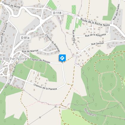
1/ From the start sign, head up rue du Guichet towards the château. Stairs lead up to the church. From Place de la Molle, take Rue de la Grande Charreyre to Place Jean-Domat (Volvic stone cross).
2/ Opposite, rue de la Conche, towards the school. Take rue de Chalendrat, rue de la Thioule, then rue Sous-Chalendrat, and chemin de Busséol to the D117 at the entrance to Busséol.
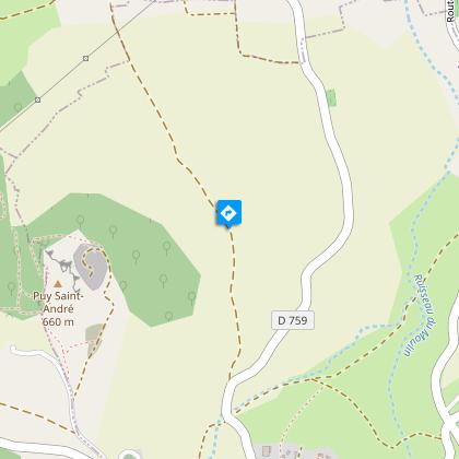
3/ Turn right downhill to take the Chemin des Combes (view of the château and church). In the village, after a bend to the left, pass the lavoir (wash-house and fountain), cross the D117, and head for Saint-Georges-es-Allier on the D759. Leave Busséol on Rue des Grangias, below the church. At the end of the village, after the crossroads, take a path on the left and climb up to the fork (at the top, panoramic view of the château de Busséol, Lignat, Billom, Cournon and the châteaux of Mauzun and Montmorin).
4/ Descend to Saint-Georges-es-Allier. Take rue Montfoulhoux, past the church and town hall, turn right and pass under a porch. Turn left into rue de la Garenne, then right into rue des Tours. Go left up rue du Sentier, past the fountain (higher up, view of the Chaîne des Puys, Cournon and Pérignat). Ignore the streets to the right and left and continue to the crossroads (Croix de Saint-Verny).
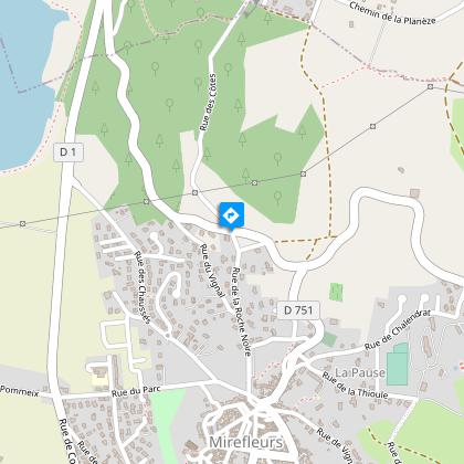
5/ Head straight ahead on the Chemin du Pouyet towards the village of La Roche-Noire. At the first crossroads, go straight down, leaving the Chemin de Montfoulhoux on your right. At the intersection, turn left into rue Achart-de-Lavord. Pass in front of the town hall, turn left towards Mirefleurs via rue Saint-Symphorien, then rue des Cozes and chemin de La Roche-Noire, which passes under a cliff. At the end of the wood (view of the Allier and gravel pits), continue to the D117.
6/ Cross it and head down towards Mirefleurs. At the town hall, turn left as far as Place Jean-Domat. Reach the parking lot via rue de la Grande-Charreyre, the church, the stairs and rue du Guichet.
Proposed and managed by the Conseil départemental du Puy-de-Dôme - PDIPR.
Animals
Yes. Dogs must be kept on a leash due to the presence of herds.
Data author
