Alert
Alerts
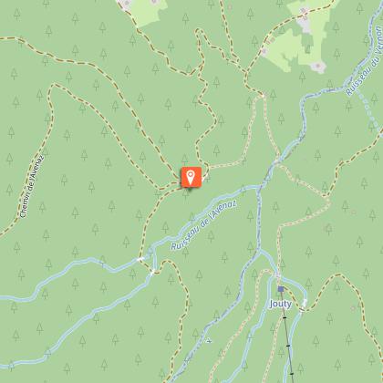
Pont des Nants loop via forest road - footpath

Description
A shady walk between the cool of the Pont de Nants and the forest of Les Plaines, for the whole family.
A perfect escape for families or anyone wanting to recharge their batteries in the heart of the forest, without any major difficulties. The route starts on a forest road in the heart of the Jorasse forest.
Halfway along, you reach Les Plaines, where picnic tables await you. It's the ideal place to enjoy lunch in the fresh air, with family or friends.
Want to extend this escapade? The Forest Trail, accessible from the Plains, adds an extra 45-minute loop to your hike. Just as accessible, this trail will allow you to discover even more of the mountain forest, with the chance to observe the local flora and fauna.
This easy-going hiking route is ideal for (re)discovering nature. This loop reaches the Pont des Nants, a peaceful spot where you can cool off in summer.
Technical Information
Altimetric profile
Starting point
Points of interest
Additional information
Open period
All year round daily.
Dates are indicative and may vary according to snow conditions. Please contact Cordon Tourisme for current conditions.
Subject to favorable snow and weather conditions.
Updated by
Cordon Tourisme - 03/04/2026
www.cordon.fr
Report a problem
Environments
Forest location
Mountain view
Mountain location
River 5 km away
Contact
Phone : 04 50 58 01 57
Email : info@cordon.fr
Website : https://www.cordon.fr
Type of land
Stone
Ground
Suitable for all terrain strollers
Location complements
The parking lot is located before the bridge, on your left.
Topo guides and map references
Map references :
Map IGN 3430ET - LA CLUSAZ LE GRAND-BORNAND
Les Belvédères du Mont-Blanc map on sale for €7 at the tourist office.
Reception complements
Map available from the tourist office to discover these and other trails.
Whatever your hike, remember to pack cereal bars, plenty of water, sunglasses, sun cream, a small first-aid kit, and clothing suited to the season and weather forecast.
This itinerary can also be done accompanied, by hiring a mountain leader.
Guidebook with maps/step-by-step
1/ Park at the Lezaive d'en Haut parking lot.
2/ Walk along the forest road towards Les Plaines.
3/ At Les Plaines, there's a picnic area where you can take a well-deserved break.
Variant : Once at Les Plaines, you can extend your hike by taking the forest trail (add 45 minutes of wandering in the woods).
4/ Take the footpath back down towards Pont des Nants.
5/Remount for a few meters at the Lezaive d'en Haut parking lot.
Animals
Yes. Dogs must be kept on a leash.
Data author
