Alert
Alerts
Type of practice
Walking
Medium
3h45mn
Presentation
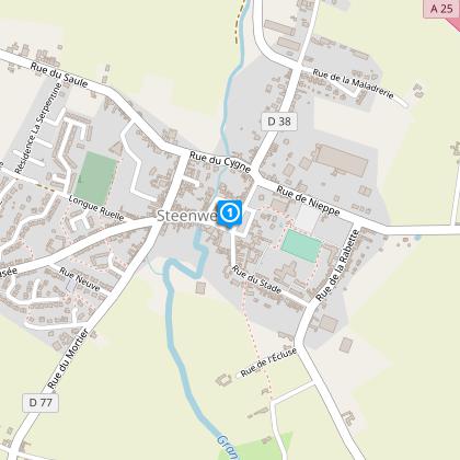
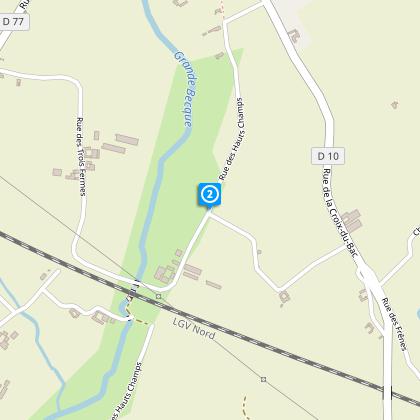
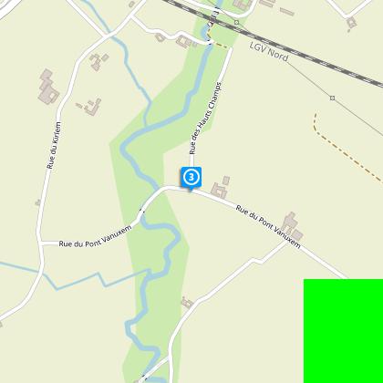
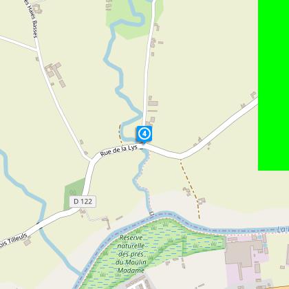
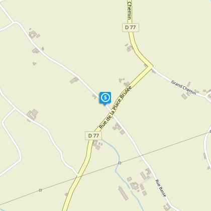
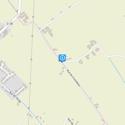
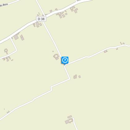
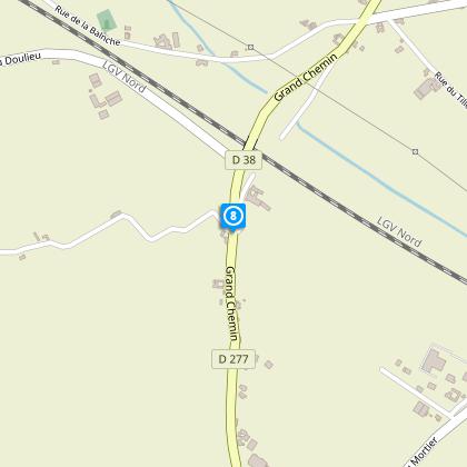
Map
Steps
Points of interest
Cirkwi brief's
Ratings and reviews
See around
Circuit de la Boudrelle_variante


Credit : OT Coeur de Flandre - Isabelle D'Hulst
The Cirkwi brief
Discover Steenwerck: A French Countryside Adventure
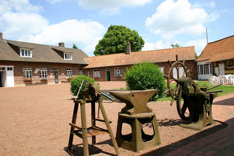
Embark on an enchanting journey through Steenwerck, a vibrant small town that serves as the starting point for a captivating countryside exploration. Offered by Nord Tourisme, this walking trail invites you to discover rural charms by meandering through scenic country roads surrounded by hedgerows, and passing by quaint chapels and oratories. Alongside the Grande Becque, this path guarantees an immersive experience into the pastoral life of Flanders. For those intrigued by local culture and history, the Musée de la Vie Rurale adds a compelling edge, enhancing your understanding of rural French life while providing refreshments for both the weary and thirsty wanderer.
Detailed Trail Breakdown
The Circuit de la Boudrelle_variant spans approximately 13.1 kilometers, navigating through the picturesque landscapes of Steenwerck, with a minimum altitude of 15 meters and a peak at 27 meters. This journey implies a slight elevation change with a positive gradient ranging between 30-29 meters. For those who closely follow the yellow markers, it offers a balanced mix of easy stretches and mildly challenging paths. Given the distances and the gradients involved, it's clear this route is designed for those accustomed to day-long walking endeavors, offering a fulfilling experience without extreme physical demands.
Seasonal Tips for Travelers
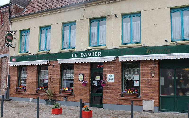
When planning your escapade along the Circuit de la Boudrelle_variant, it's wise to consider the varying conditions each season presents. Spring and autumn, with their mild temperatures, are particularly splendid, boasting vibrant flora and cooler walking conditions. Summers, while warmer, offer extended daylight hours but necessitate sunscreen and ample hydration. Winters can be magical, yet icy paths demand caution. Regardless of the season, always exercise caution near roads, notably RD 122, 277, and 138, and remember to book ahead if you wish to enjoy the hospitality of local establishments like Le Damier.
Exploring Steenwerck's Rich History
Steenwerck, nestled in Northern France, is much more than a starting point for countryside wanderings; it's a portal into the rich cultural and historical tapestry of the Flanders region. From its architectural gems like the grandiose church on the Grand' Place to the welcoming Damier with its royal emblem, the town intertwines the past with the present. It's a living museum showcasing the endurance of Flemish culture through centuries, offering visitors an intimate glimpse into the resilience and traditions of the people who shaped this land.
Climate Insights and Travel Timing
The climate in Steenwerck, typical of Northern France, features mild winters and pleasant summers. With temperatures conducive to outdoor activities, particularly from March to October, it offers an optimal window for your journey. However, the region is known for its unpredictable weather; hence, packing a waterproof jacket is advisable, regardless of the season. For the most comfortable experience, aim for late spring or early autumn when the weather is temperate, and the natural landscape is at its most vibrant.
Embark on an enchanting journey through Steenwerck, a vibrant small town that serves as the starting point for a captivating countryside exploration. Offered by Nord Tourisme, this walking trail invites you to discover rural charms by meandering through scenic country roads surrounded by hedgerows, and passing by quaint chapels and oratories. Alongside the Grande Becque, this path guarantees an immersive experience into the pastoral life of Flanders. For those intrigued by local culture and history, the Musée de la Vie Rurale adds a compelling edge, enhancing your understanding of rural French life while providing refreshments for both the weary and thirsty wanderer.
Detailed Trail Breakdown
The Circuit de la Boudrelle_variant spans approximately 13.1 kilometers, navigating through the picturesque landscapes of Steenwerck, with a minimum altitude of 15 meters and a peak at 27 meters. This journey implies a slight elevation change with a positive gradient ranging between 30-29 meters. For those who closely follow the yellow markers, it offers a balanced mix of easy stretches and mildly challenging paths. Given the distances and the gradients involved, it's clear this route is designed for those accustomed to day-long walking endeavors, offering a fulfilling experience without extreme physical demands.
Seasonal Tips for Travelers
When planning your escapade along the Circuit de la Boudrelle_variant, it's wise to consider the varying conditions each season presents. Spring and autumn, with their mild temperatures, are particularly splendid, boasting vibrant flora and cooler walking conditions. Summers, while warmer, offer extended daylight hours but necessitate sunscreen and ample hydration. Winters can be magical, yet icy paths demand caution. Regardless of the season, always exercise caution near roads, notably RD 122, 277, and 138, and remember to book ahead if you wish to enjoy the hospitality of local establishments like Le Damier.
Exploring Steenwerck's Rich History
Steenwerck, nestled in Northern France, is much more than a starting point for countryside wanderings; it's a portal into the rich cultural and historical tapestry of the Flanders region. From its architectural gems like the grandiose church on the Grand' Place to the welcoming Damier with its royal emblem, the town intertwines the past with the present. It's a living museum showcasing the endurance of Flemish culture through centuries, offering visitors an intimate glimpse into the resilience and traditions of the people who shaped this land.
Climate Insights and Travel Timing
The climate in Steenwerck, typical of Northern France, features mild winters and pleasant summers. With temperatures conducive to outdoor activities, particularly from March to October, it offers an optimal window for your journey. However, the region is known for its unpredictable weather; hence, packing a waterproof jacket is advisable, regardless of the season. For the most comfortable experience, aim for late spring or early autumn when the weather is temperate, and the natural landscape is at its most vibrant.
Automatically generated.
Technical Information
Walking
Difficulty
Medium
Duration
3h45mn
Dist.
13 km
Type of practice
Walking
Medium
3h45mn
Show more
Altimetric profile
Starting point
17
Eglise, grand' Place
,
59181
STEENWERCK
Lat : 50.6996936348Lng : 2.77475729016
Steps
Points of interest
Data author

Ratings and reviews
To see around