Alert
Alerts
Type of practice
Walking
Very easy
2h20mn
Presentation
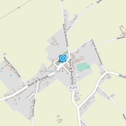
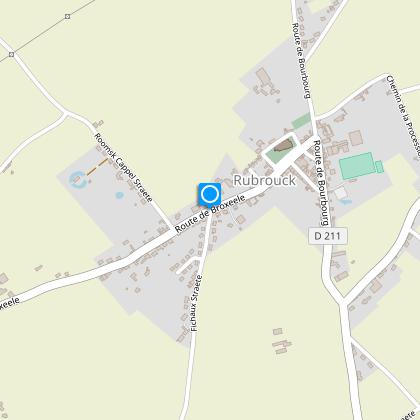
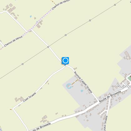
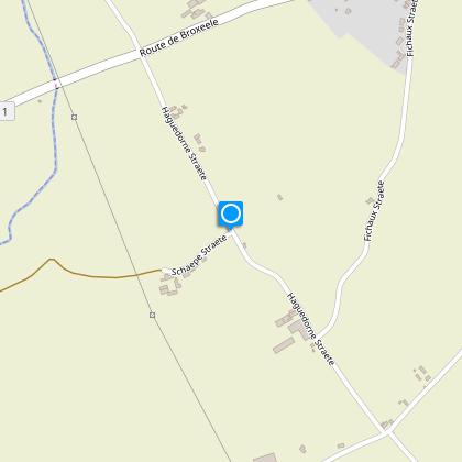
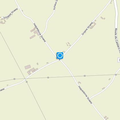
Map
Steps
Points of interest
Cirkwi brief's
Ratings and reviews
See around
Circuit of the ponds_variant


Credit : Nord Tourisme
The Cirkwi brief
Explore Northern France: The Circuit des Mares
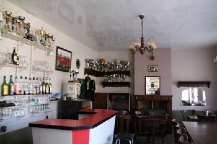
Crafted by Nord Tourisme, the Circuit des Mares offers an enticing stroll through the picturesque landscapes of Northern France. This captivating journey weaves through the traditional sector of Flanders and the Yser valley. Along the way, you’ll encounter prairie ponds, pollard willows, remnants of hedgerows, Flemish houses, and runic signs, all telling the tales of a region rich with history. The authentic, convivial atmosphere, especially around Café Patricia Thoorens, adds a unique charm. The experience is a harmonious blend of nature, tradition, and local hospitality, perfect for those seeking a tranquil escape.
Essential Guide to Circuit Specs
The Circuit des Mares spans approximately 7.06 kilometers and is marked by a yellow trail. Starting at an altitude of 24 meters, the pathway reaches its highest point at 42 meters, creating a minimal but noticeable elevation change. The overall positive altitude change throughout the journey is around 23 meters. These technical aspects highlight the ease of the walk, making it accessible for a wide range of participants. No formidable challenges here, but rather, a leisurely exploration with subtle shifts in elevation.
Seasonal Tips for Trail Walkers
For those embarking on the Circuit des Mares, wearing waterproof shoes during rainy seasons is advisable to comfortably navigate the path. In summer, the landscape blooms, offering vibrant views of the local flora. However, the sun can be relentless, so don’t forget to bring sunscreen and water. Fall brings a palette of colors that transform the scenery, but also slippery leaves, warranting caution. In winter, the trail remains accessible, though frost may make some sections slippery. Each season brings its unique charm and challenges, making any time a good time to explore, with the right preparations.
Flandres and Yser: A Cultural Journey
Rubrouck, nestled within the heart of Flandres and near the banks of the Yser, stands as a beacon of rural and cultural history. This region, with its mares prairiales and traditional Flemish architecture, offers a glimpse into the pastoral life that has shaped Northern France. The inclusion of runic signs along the Circuit des Mares hints at an ancient past, further enriching the exploratory experience. This area not only champions its natural beauty but also serves as a custodian of the heritage that has defined and distinguished this part of France for centuries.
Weather Patterns and Best Visiting Times
The region around Rubrouck enjoys a temperate maritime climate characterized by mild summers and cool winters. Precipitation is fairly distributed throughout the year, making the Circuit des Mares accessible in all seasons. However, for an optimal experience, late spring to early summer and early autumn are particularly recommendable. These periods offer comfortable temperatures, less rainfall, and the full vibrancy of local flora. Visitors during these times will find the journey not just easier but also more visually rewarding.
Automatically generated.
Technical Information
Walking
Difficulty
Very easy
Duration
2h20mn
Dist.
7.1 km
Type of practice
Walking
Very easy
2h20mn
Show more
Altimetric profile
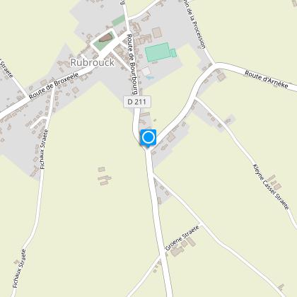
Starting point
164
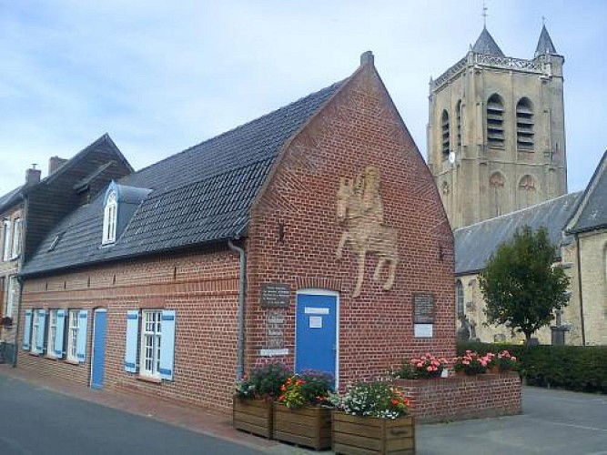
Eglise, derrière la Maison Guillaume de Rubrouck.
,
59285
RUBROUCK
Lat : 50.8389546676Lng : 2.35387788295
Steps
Points of interest
Data author

Ratings and reviews
To see around