Alert
Alerts
Type of practice
Walking
Very easy
3h20mn
Presentation
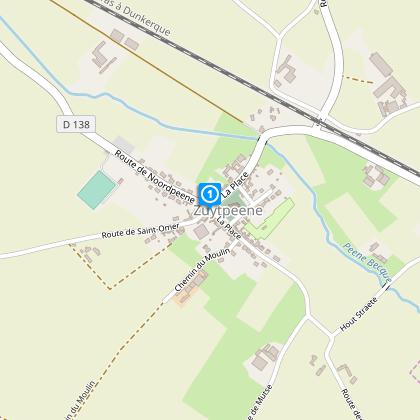
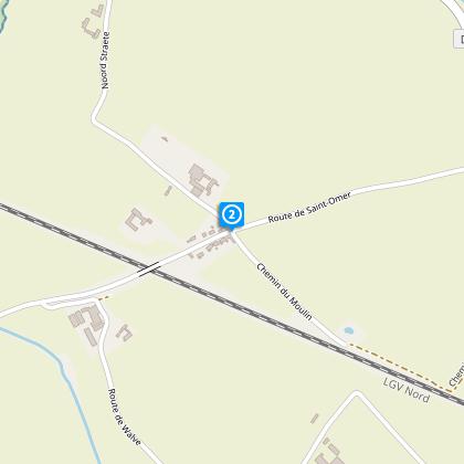
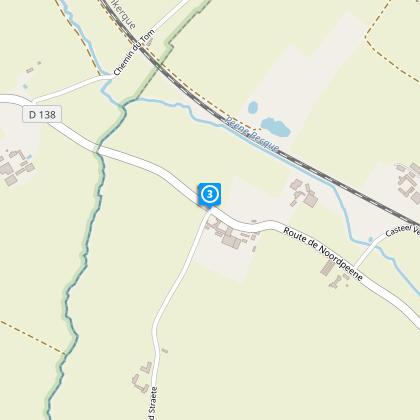
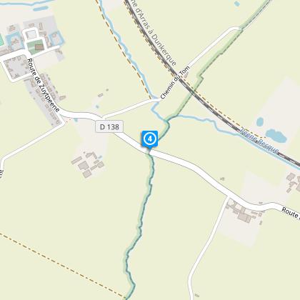
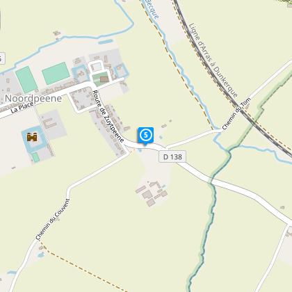
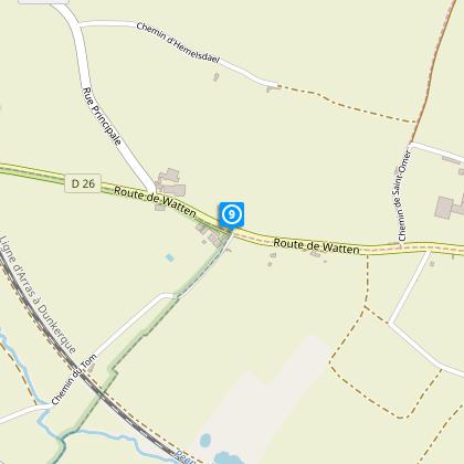
Map
Steps
Points of interest
Cirkwi brief's
Ratings and reviews
See around
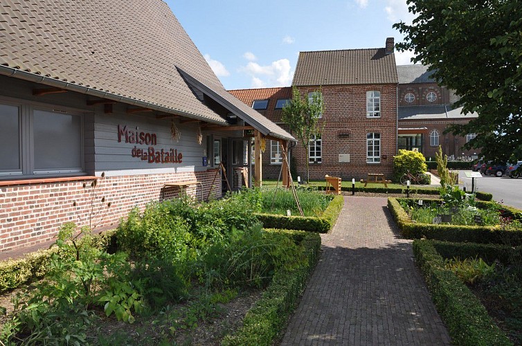
In the Heart of the Battle


Credit : OT Coeur de Flandre - Isabelle D'Hulst
The Cirkwi brief
Explore the Battlefields of Peene: A Journey through History
Immerse yourself in the evocative landscape of Northern France as you tread the pathways of history with the Battle of Peene (1677) discovery route. Crafted by Nord Tourisme, this unique trail marries the tranquility of rural ambles with poignant historical narratives, guiding you through serene country roads with minimal traffic. Experience the charm of the Koning Van Peene, a quaint estaminet that perfectly blends modern tastes with the allure of antiquity, offering an authentic feast of local cuisine in an atmosphere brimming with warmth and conviviality. This journey is not just a walk; it's a step back in time.
Route Specs in a Nutshell
This meticulously outlined trek spans approximately 10.64 kilometers, with the highest elevation peaking at 61 meters and the lowest at 22 meters. The route's total elevation gain and loss is even, calculated at 86 meters, weaving through divergent terrains that range from gentle slopes to flat stretches. Such a profile offers a relatively relaxed but slightly challenging undertaking for walkers, marking it suitable for a wide range of fitness levels. Created with detail by Nord Tourisme, this technical briefing encapsulates the route’s physical demands succinctly.
Seasonally Savvy Walk Tips
Embarking on this historical journey from April to October is highly recommended due to favorable weather conditions. However, as your local guide, I advise preparing for the unpredictable - sturdy shoes for the damp mornings of spring and autumn, sunscreen, and water for the clear skies of summer. Winter walks, though not advised due to harsher conditions, can be magical with the right gear. Always reserve in advance if you wish to group visit the Koning Van Peene, ensuring a warm meal awaits post-adventure. Safety first: stay on the marked yellow paths to enjoy a secure and enriching experience.
Insights into Zuytpeene's Rich Past
Zuytpeene, nestled at the foot of Mont Cassel, is more than just a starting point for a historical trail; it's a crucible of heritage within the Nord department. This region, scene to the notable Battle of Peene in 1677, played a significant role in France's military history, marking the end of territorial disputes in the area during the Franco-Dutch War. Walking this route provides not only a physical journey but also a profound connection to the tumultuous past of this resilient community, making every step a tribute to the stories etched within the landscape.
Weather Wisdom for the Route
The region around Zuytpeene maintains a temperate maritime climate, characterized by mild winters and moderately warm summers. Precipitation is fairly evenly distributed throughout the year, though late spring to early autumn marks the optimal visiting window to make the most of the drier days and longer daylight hours. Cognizant of sudden weather shifts, especially in transitional seasons, equipping oneself with adaptable layers and waterproof gear will ensure a comfortable exploration of this historically rich area.
Automatically generated.
Technical Information
Walking
Difficulty
Very easy
Duration
3h20mn
Dist.
11 km
Type of practice
Walking
Very easy
3h20mn
Show more
Altimetric profile
Starting point
47
Place
,
59670
ZUYTPEENE
Lat : 50.806391602Lng : 2.39985627725
Steps
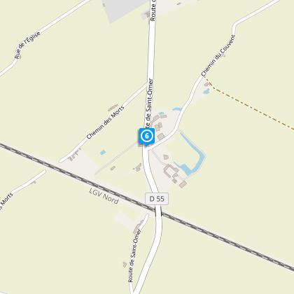
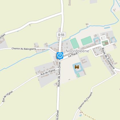
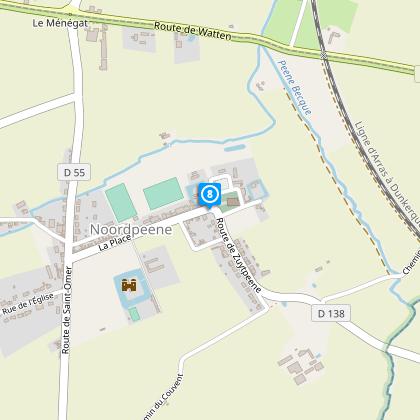
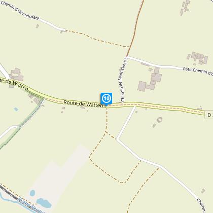
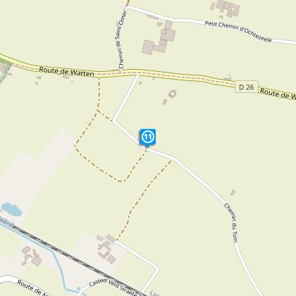
Points of interest

Data author

Ratings and reviews
To see around