Alert
Alerts
Citou Loop
Description
A pleasant, long loop starting from the village of Citou, in the Montagne Noire, just above the village of Caunes-Minervois.
A smooth ride, perfect for experienced mountain bikers.
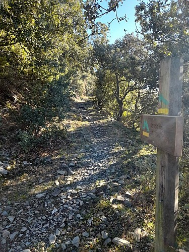
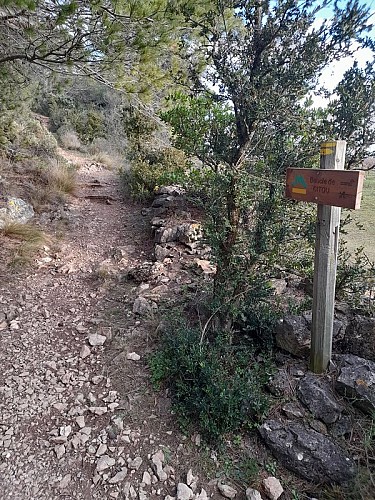
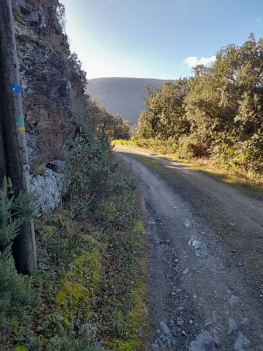
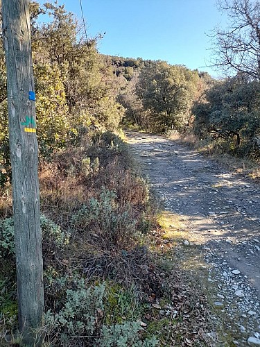
Trail markers: yellow + green “M” logo
At the fountain, take the Chemin de Mayrac, located just above Avenue de l’Argent-Double. The path climbs gently and then, around a bend, goes around an old barn.
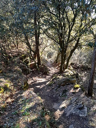
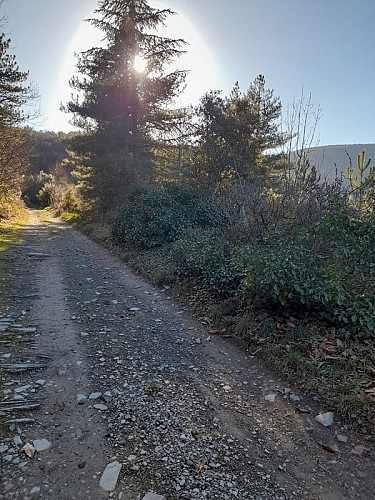
Further on, just past a bend, take a shaded trail, very pleasant in summer times. On the forest trail, turn right for 1 km, then right again onto a path.
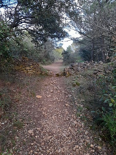
Further on, after passing a "capitelle" (a dry stone cabin) on your right, when you reach a T-shaped crossroad, turn left to rejoin the forest trail. Follow it uphill until you reach a trail junction, then turn right, through a green-painted gate.
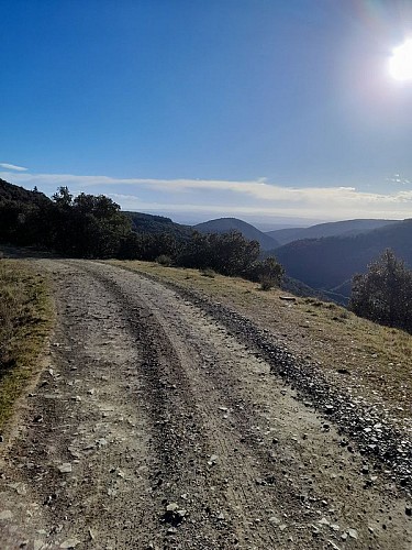
Much further on, when you reach a crossroads of trails, turn right again, leaving the forest shelter on the same side.
After about 1.5 km, take the path on the left—a descending trail that leads you to a spot above the village, overlooking the Château de CITOU.
Technical Information
Altimetric profile
Starting point
Additional information
Advised parking
Avenue de l’Argent-Double stationnement le long du mur
Public transport
RTCA - ligne A
Access
From Carcassonne, follow the D118 and D620 toward Citou, in the direction of Villalier/Villegly/Caunes-Minervois.In Caunes-Minervois, turn left onto Av. de la Montagne Noire/D620, then drive 7.4 km to Citou.
Ambiance
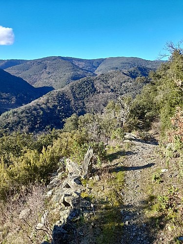
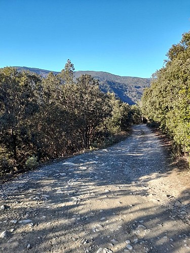
Most of the route runs through the woods, making it pleasant even in hot weather. A section along the ridge—at the highest points of the route—offers magnificent panoramic views of the surrounding area, especially the village of Lespinassière.
Arrival
CITOU - Avenue de l’Argent-Double
Departure
CITOU - Avenue de l’Argent-Double
Data author
