Alert
Alerts
Type of practice
Walking
Very easy
3h
Presentation
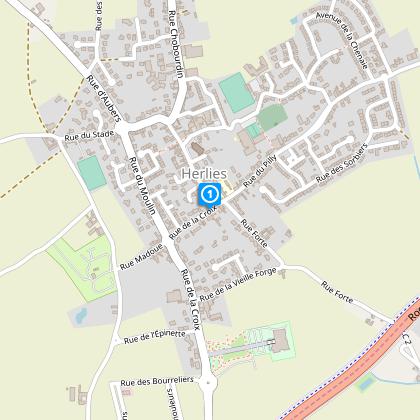
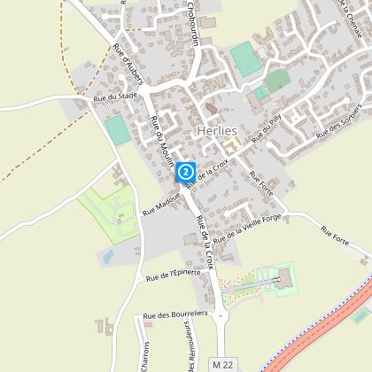
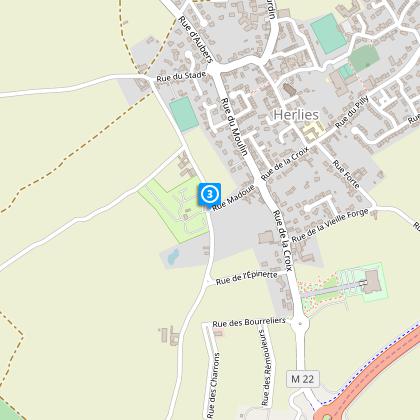
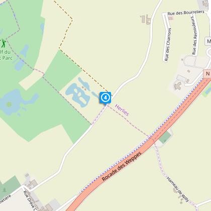
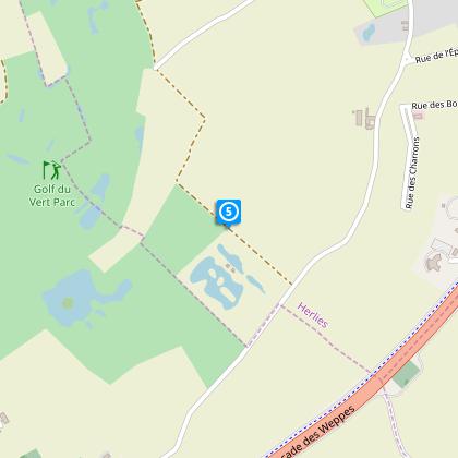
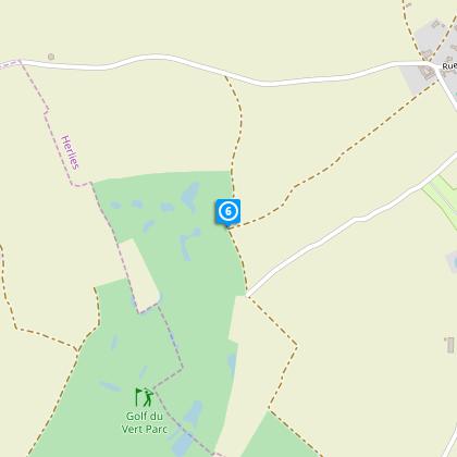
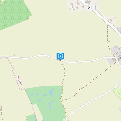
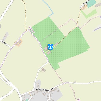
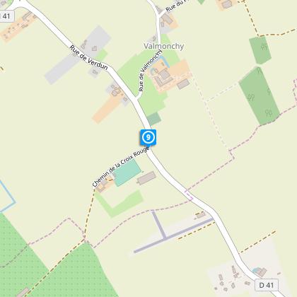
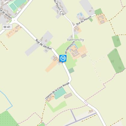
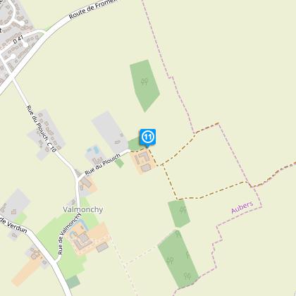
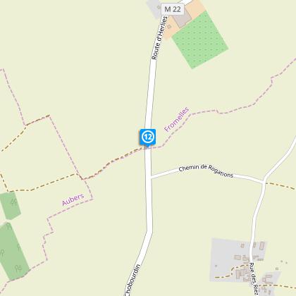
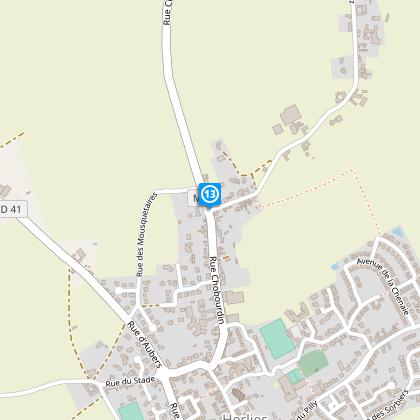
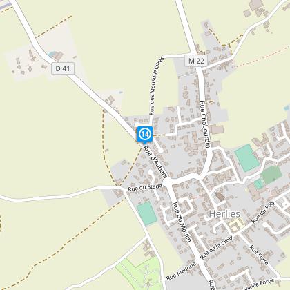
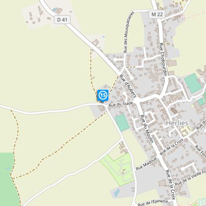
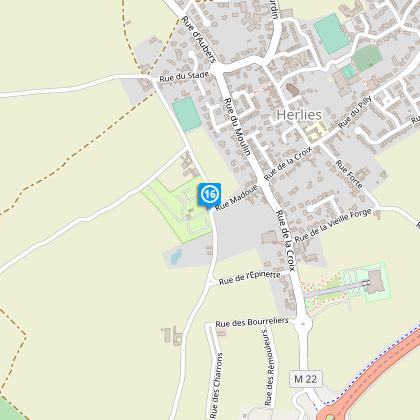
Map
Steps
Cirkwi brief's
Ratings and reviews
See around
Hiking Trail Circuit

Credit : Nord Tourisme
The Cirkwi brief
Discover Crapahute Trail: A Gem in Herlies, France
Nestled in the picturesque region of Herlies, the Crapahute Trail, curated by Nord Tourisme, stands out as a must-visit for nature enthusiasts and bird watchers alike. This year-round accessible circuit meanders through a diverse range of environments, promising a sensory overdose of sights and sounds. Whether it's the soft trill of a distant bird or the earthy fragrance of the woods, the experience is profoundly immersive. Remember, a pair of sturdy waterproof shoes are indispensable in wet conditions, ensuring that your adventure through this yellow-marked trail remains uninterrupted.
Brief Technical Overview: Circuit Specs
Focusing strictly on the numerics, the Crapahute Trail offers a substantial trek with a length of approximately 11.07 km. Hikers will navigate through minimal altitude variations, with the highest point reaching 42 meters and the lowest at 26 meters. The trail entails a total positive elevation gain of 37 meters. This relatively mild elevation change showcases the trail's accessibility to a broad spectrum of walkers, from beginners to those seeking a leisurely stroll in nature. Technical preparation is minimal but awareness of the trail's length and minor elevations is crucial for a comfortable trek.
Seasonal Tips and Safety Advice
Regardless of the season, preparation is key to enjoying the Crapahute Trail. In spring and summer, lightweight clothing and sunscreen are essential, alongside ample water to stay hydrated. Autumn calls for a camera to capture the vibrant foliage, whereas winter demands waterproof and warm attire. Safety-wise, always stick to the yellow-marked paths and consider starting early to make the most of daylight. For an enhanced experience, visiting during dry periods is advisable as it negates the need for waterproof gear, making your hike more enjoyable.
Herlies: A Region Steeped in History
Herlies, a quaint town in the Nord department of France, is not only known for its natural beauty but also for its rich cultural and historical heritage. Situated within a landscape marked by centuries of agriculture, Herlies and its surrounding areas have played a modest yet significant role in the broader tapestry of French history. The Crapahute Trail offers explorers a unique opportunity to traverse a land peppered with historical markers and stories that speak to the resilience and vibrant culture of the region.
Weather Patterns and Best Visit Times
The climate in Herlies is temperate, characterized by fairly mild winters and comfortable summers, making the region an ideal destination year-round. However, for those looking to capture the essence of the Crapahute Trail in its full glory, the spring and early autumn months offer the best compromise between pleasant temperatures and the natural beauty of the terrain. During these periods, the weather facilitates extended walks without the discomfort of summer heat or winter chill, thus providing an optimal experience for trekkers.
Automatically generated.
Technical Information
Walking
Difficulty
Very easy
Duration
3h
Dist.
11 km
Type of practice
Walking
Very easy
3h
Show more
Altimetric profile
Starting point
Parking de la Mairie
,
59134
HERLIES
Lat : 50.5765552603Lng : 2.85392024401
Steps
Data author

Ratings and reviews
To see around