Alert
Alerts
Type of practice
Walking
Easy
4h
Presentation
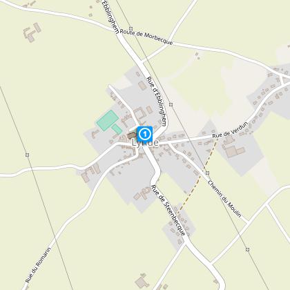
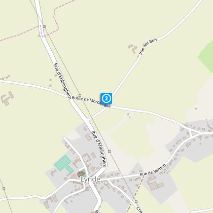
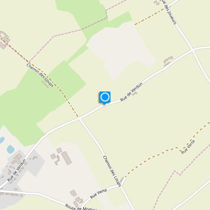
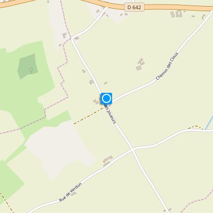
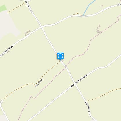
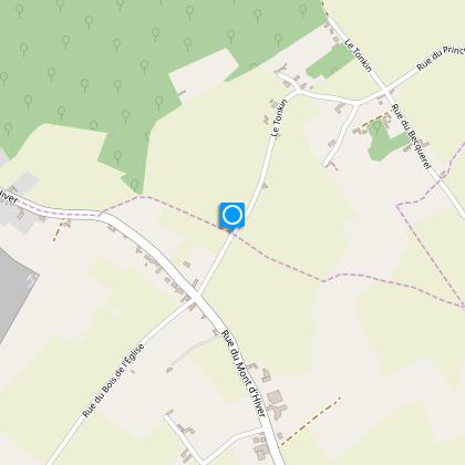
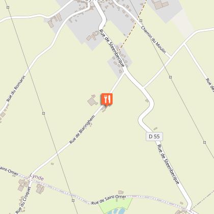
Map
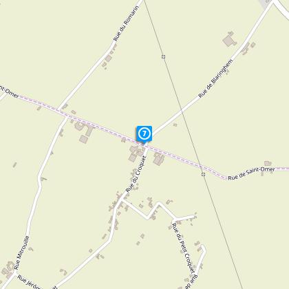
Steps
Points of interest
Cirkwi brief's
Ratings and reviews
See around
From Bonsberg to Becquerelle

Credit : Nord Tourisme
The Cirkwi brief
Explore the Hidden Gems of Lynde: A Scenic Journey from Bonsberg to Becquerelle
Crafted by Nord Tourisme, this picturesque trail stretches through the inviting landscapes between the Flemish and Artois hills, enclosing the charming vicinity of Lynde. Ideal for both the experienced hiker seeking adventure and the leisurely walker yearning for tranquility, the journey offers two variants: a 12.5 km trek for the former and a 7 km stroll for the latter. As you meander through rural pathways and agricultural terrains, the necessity for waterproof footwear during rainy seasons becomes evident, yet this minor preparation pales in comparison to the enriching experience that beckons.
Brief Technical Overview
This meticulously mapped route showcases an altitude variation with a minimum of 39 meters and peaking at 70 meters, alongside an estimated total positive altitude change of 87 meters back and forth. The trail is marked by yellow signage, ensuring navigational ease throughout the 12.82 km course. Geared towards walkers, this path demands moderate physical preparation, underscoring the importance of appropriate gear, especially during wet conditions, to fully appreciate the scenic beauty and the challenges it offers without compromise.
Seasonal Tips and Safety Advice
Preparing for any season, it’s essential to heed practical advice for a safe and enjoyable journey. In spring and summer, lightweight yet protective clothing is recommended to shield against unpredictable weather and foliage. Fall brings a palette of colors and cooler temperatures, perfect for comfortable hiking. However, visibility can decrease; thus, reflective gear or lights are prudent. Winter walks, while serene, require careful footing on potentially icy paths and warm, layered attire to combat the chill. Above all, always check weather forecasts and ensure you're well-equipped for the trail's conditions.
The Cultural Heart of France's North
Lynde, nestled within the enchanting framework of France's northern frontier, offers more than just a natural escape; it's a deep dive into a region rich with historical and cultural substance. Serving as a bridge between the Flemish and Artois hills, this area has bore witness to centuries of history — from medieval times through the world wars. The storied past of this region, coupled with its idyllic landscapes, makes every step through its terrains not just a hike but a journey through time itself, revealing the enduring spirit and heritage of the north.
Weather Insights for Optimal Visits
The climate in Lynde is characterized by mild variations and is mainly temperate, making it a favorable destination throughout the year. However, for the best outdoor experience, late spring through early autumn presents the most agreeable weather conditions — minimal rainfall and comfortable temperatures. It’s during these months that the trails reveal their full beauty, from blossoming flora to an array of wildlife. Yet, always arm yourself with a weather check before setting out, as regional conditions can change swiftly, ensuring your adventure in the heart of Northern France is nothing short of spectacular.
Automatically generated.
Technical Information
Walking
Difficulty
Easy
Duration
4h
Dist.
13 km
Type of practice
Walking
Easy
4h
Show more
Altimetric profile
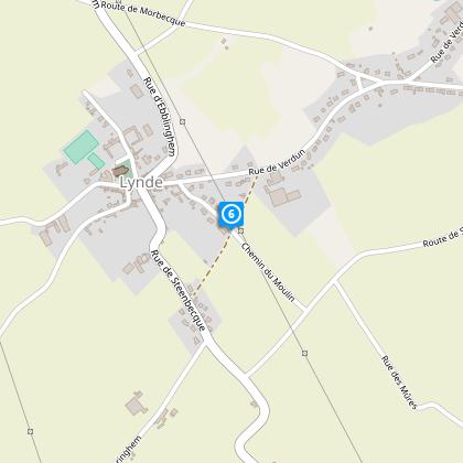
Starting point
Eglise Saint Vaast
,
59173
LYNDE
Lat : 50.7126138088Lng : 2.41951250372
Steps
Points of interest
Data author

Ratings and reviews
To see around