Alert
Alerts
Type of practice
Walking
Medium
3h
Presentation
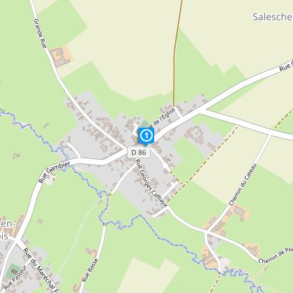
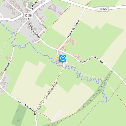
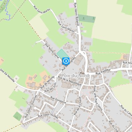
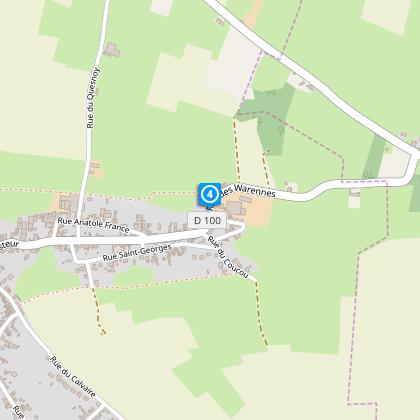
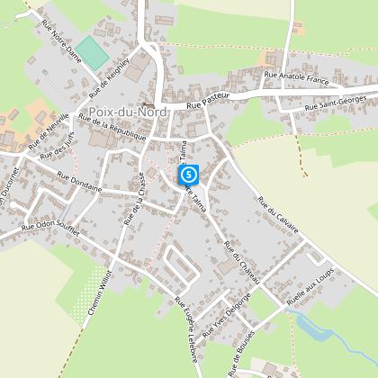
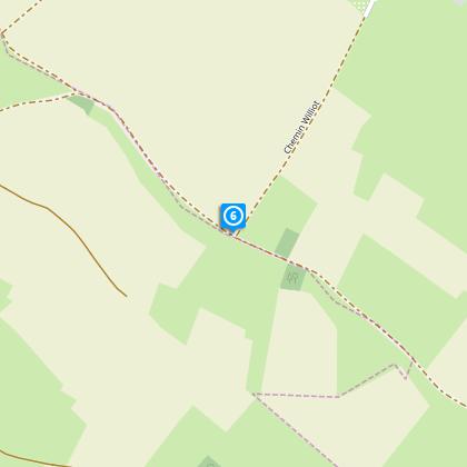
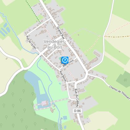
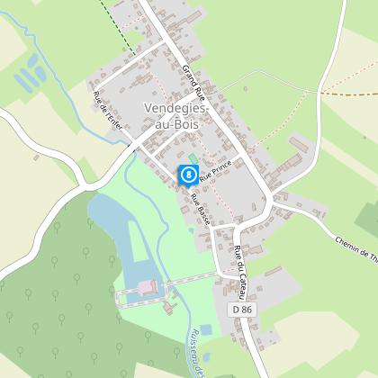
Map
Steps
Points of interest
Cirkwi brief's
Ratings and reviews
See around
Countryside Flower Circuit

Credit : Département du Nord
The Cirkwi brief
Discover Northern France: A Flower-Filled Walking Adventure
Venturing into the heart of Northern France, the Circuit des fleurs champêtres presents a serene yet invigorating walking experience, meticulously curated by Nord Tourisme. This journey weaves through the quaint landscapes of Salesches, showcasing a splendid tableau of wildflowers, traditional bocage paths, and the rustic charm of agricultural life. Immerse yourself in the vibrant colors and textures of the countryside, where the yellow waymarks guide your exploration. This route is not just a walk; it's a connection with the unspoiled beauty of nature, guided by the knowledge and passion of local heritage.
Ins and Outs: Technical Route Overview
Spanning approximately 12.88 kilometers, with altitude ranging between 94 and 141 meters, the Circuit des fleurs champêtres offers a mild yet engaging physical challenge. The route demands a positive altitude variation of around 126 meters overall, emphasizing the undulating terrain characteristic of this region. With its yellow markers, participants can comfortably navigate through the mix of "caches," agricultural paths, and tranquil roads. This detail underscores the need for suitable footwear, particularly in wet conditions, highlighting the trail's accessibility to avid walkers seeking a moderately demanding outdoor experience.
Seasonal Guidance for Trail Enthusiasts
Embarking on the Circuit des fleurs champêtres requires thoughtful preparation for an enjoyable experience. In spring and summer, light apparel and sun protection are advisable to savor the abundant flora without discomfort. During autumn, the paths reveal a picturesque mosaic of colors, though extra caution on potentially slippery trails is wise. Winter calls for warm, water-resistant clothing, ensuring comfort amidst the serene, frost-kissed landscapes. Safety, above all, dictates the choice of footwear: sturdy, water-resistant shoes are essential year-round, particularly after rain, for navigating this beautiful yet variable terrain with confidence.
Heart of Salesches: Cultural and Historical Insights
Salesches, the starting point of this enchanting trail, holds a unique position in Northern France's tapestry of history and culture. This area, rich in pastoral landscapes and agricultural heritage, echoes the tales of centuries gone by, where each step along the Circuit des fleurs champêtres treads the whispers of the past. The region’s bocage paths and tranquil rural roads serve not only as scenic routes but as historical arteries that connected communities and nurtured the local way of life through farming and pastoral care. Embarking on this journey is an embrace of the region's soul, celebrating its enduring bond with nature and tradition.
Forecast for the Adventurous Soul
The climate of Northern France offers a temperate backdrop for the Circuit des fleurs champêtres, characterized by mild winters and pleasant summers. The optimal period for this trail spans from late spring to early autumn, when weather conditions are most favorable for outdoor activities. However, unexpected rainfall can transform paths into challenging adventures; hence the recommendation of waterproof gear during these seasons. While summer promises vibrant colors and lively wildlife, spring and autumn afford a quieter, albeit equally mesmerizing, encounter with the region's natural beauty, making any visit a memorable venture into the heart of the countryside.
Automatically generated.
Technical Information
Walking
Difficulty
Medium
Duration
3h
Dist.
13 km
Type of practice
Walking
Medium
3h
Show more
Altimetric profile
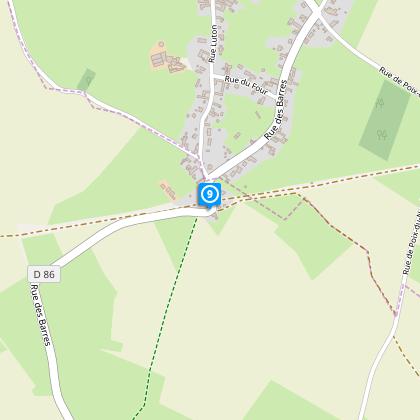
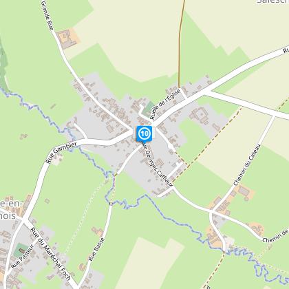
Starting point
2
Place Roger Salengro
,
59218
SALESCHES
Lat : 50.2033499493Lng : 3.58862026709
Steps
Data author

Ratings and reviews
To see around