To see around
See more
Open
Close
Show
Show
Show
Show
Show
Show
Show
Show
Show
Show
Show

Oups... It would appear that Cirkwi does not have permission to use your location.

Description
Map
Steps
Cirkwi brief's
Ratings and reviews
See around

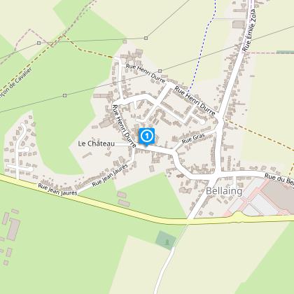
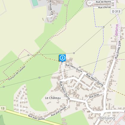
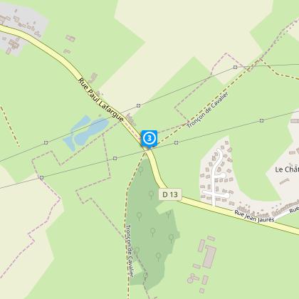
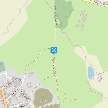
The fountain of Haveluy

The Cirkwi brief

Discover Bellaing & Haveluy: A Journey Through Natural and Historic Landmarks

Embarking on an itinerary curated by Nord Tourisme means diving into a world where nature and history intertwine seamlessly. This trail, situated in the heart of Bellaing and Haveluy, offers more than just a walk. It’s an immersion in the area's heritage, highlighted by rustic hedge-lined paths, remnants of old railways, and the storied cobblestone route of Paris-Roubaix. Along the way, the scenic views of the slag heaps will take your breath away, encapsulating the beauty of an area marked by both humanity and nature’s enduring spirit.


Route Specs & Insights

Spanning a distance of approximately 7.8 km, this trail presents a mild challenge with an elevation change spanning from 23 to 44 meters, achieving a total positive elevation of around 27 meters. The route is marked with yellow signs, making navigation straightforward for enthusiasts. The mix of terrain – from ancient railway tracks to cobblestone paths – proposes a varied experience, perfect for those seeking technical details and a touch of adventure in their walk.


Seasonal Tips & Safety Guidelines

Regardless of the season, wearing suitable footwear is crucial on this varied terrain. Spring and summer offer lush landscapes but require hydration and sun protection. Autumn brings a palette of colors and cooler temperatures, ideal for comfortable hiking. In winter, the path may become slippery; caution and appropriate gear are advised. Always respect local guidelines and trail markings to ensure a safe and enjoyable experience for everyone.


Exploring the Heart of Nord-Pas-de-Calais

Bellaing and Haveluy stand as testaments to the diverse tapestry of France's Nord-Pas-de-Calais region. This area, steeped in history from the mining era, showcases the resilient spirit of its people and landscape. Observing the terrils, or slag heaps, one can't help but feel connected to the past generations who shaped this land. This trail offers a unique way to explore the cultural and historical significance embedded within this region’s very soil.


Climate Patterns for Optimal Visits

The region experiences a temperate climate, with mild summers and cool winters, making it accessible year-round. However, the optimal times for visiting are during spring and autumn, when the weather is most conducive for hiking. These seasons offer moderate temperatures and reduced rainfall, allowing for the best possible exploration of Bellaing and Haveluy’s natural and historic landmarks.

Automatically generated.

Technical Information

Walking
Difficulty
Very easy
Duration
1h30mn
Dist.
7.8 km
Show more

Altimetric profile

Starting point

30 Rue Jean Jaurès , 59135 BELLAING
Lat : 50.3495989735Lng : 3.41148281157

Steps

image du object
1

Point 1

Quittez la place du monument aux morts en laissant derrière vous le monument, dirigez vous à droite vers la rue Henri Durre. Vous pourrez peut être apercevoir, en face de vous le château de Bellaing,

- Département du Nord -
Consulter
image du object
2

Point 2

Poursuivez par la route et rejoignez ainsi le chemin qui part à gauche. Ce chemin enherbé et arboré vous mènera jusqu’à la départementale.

- Département du Nord -
Consulter
image du object
3

Point 3

Traversez prudemment et poursuivez en face. En chemin, sur votre droite, vous pourrez apercevoir une résurgence de la Fontaine d’Haveluy. Puis prenez deux fois à gauche.

- Département du Nord -
Consulter
image du object
4

Point 4

Arrivés à l’ancien cavalier des mines, réhabilité en chemin de promenade, partez à droite. Et de nouveau à droite à la première intersection (avec un chemin blanc). Vous longez le terril d’Haveluy. Celui-ci est un formidable réservoir de biodiversité. De loin, le terril a parfois des allures de petit volcan avec ses fumerolles qui s’échappent du sommet.

- Département du Nord -
Consulter
image du object
5

Point 5

Dirigez vous vers Haveluy en effectuant un crochet à droite, puis quittez la rue Ferdinand Decarpentry (par la gauche) pour rejoindre la rue Ferrer.

- Département du Nord -
Consulter
image du object
6

Point 6

Face à l’église prenez à gauche. Prenez de nouveau à gauche en direction du terril.

- Département du Nord -
Consulter
image du object
7

Point 7

Effectuez un crochet droite gauche et prendre par le terril, puis retrouvez à droite la voie ferrée.

- Département du Nord -
Consulter
image du object
8

Point 8

Quittez la par la gauche et longez les étangs (vous y trouverez toutes les commodités) et poursuivez par la rue Arthur Brunet. Avancez jusqu’à la 4ème intersection et dirigez vous à gauche.

- Département du Nord -
Consulter
image du object
9

Point 9

Remontez par la rue pavée, empruntée par la célèbre course cycliste du Paris Roubaix, appelée aussi « l’enfer du Nord ». Passez l’oratoire st Roch, traversez, toujours avec prudence la Départementale. Suivez la direction du centre ville et retrouvez ainsi votre point de départ.

- Département du Nord -
Consulter

Ratings and reviews

To see around
See more
Open
Close
Show
Show
Show
Show
Show
Show
Show
Show
Show
Show
Show
Caution!
We have no information on the difficulty of this circuit. You may encounter some surprises along the way. Before you go, please feel free to inquire more and take all necessary precautions. Have a good trip! 🌳🥾