Alert
Alerts
Type of practice
Walking
Medium
5h
Presentation
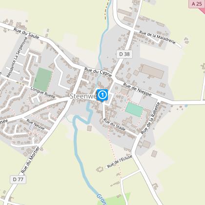
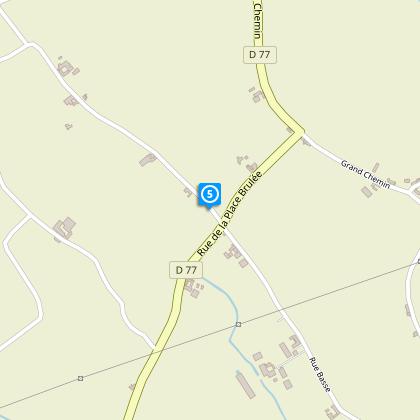
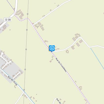
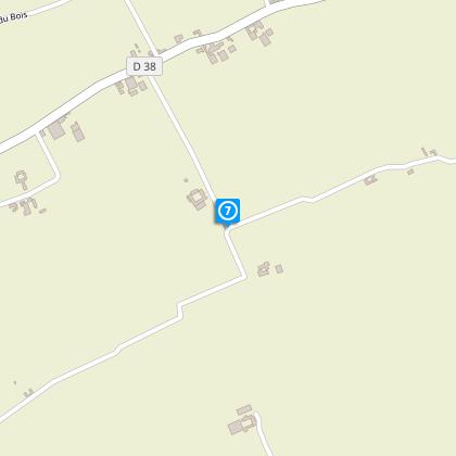
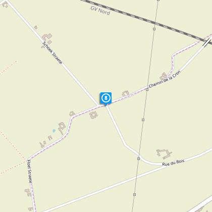
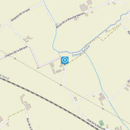
Map
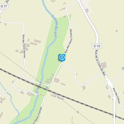
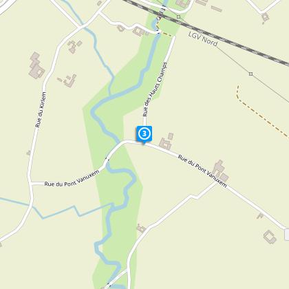
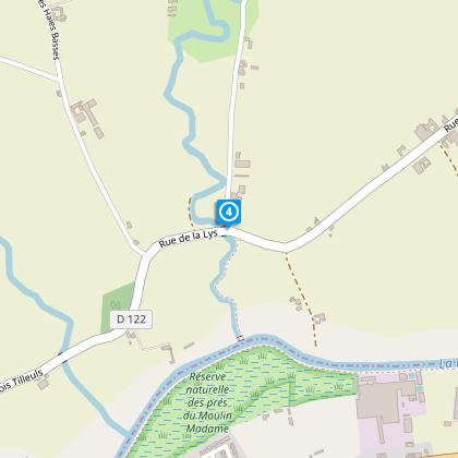
Steps
Points of interest
Cirkwi brief's
Ratings and reviews
See around
Boudrelle Circuit


Credit : OT Coeur de Flandre - Isabelle D'Hulst
The Cirkwi brief
Explore the Boudrelle Trail: A Steenwerck Adventure
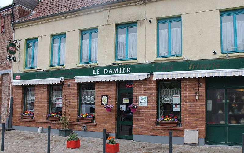
Nestled in the heart of the picturesque French countryside, the Boudrelle Trail invites avid walkers to explore the quaint town of Steenwerck. Conceived by Nord Tourisme, this trail is a blend of natural beauty, engaging history, and local culture. As you meander through lush fields and beside the serene Grande Becque, the path offers glimpses of rural life, punctuated by charming chapelles and oratoires. The trail is not just about the walk; it's an invitation to experience the warm hospitality of local establishments like the historic Damier. Here, every step tells a story, immersing you in the tranquil ambiance of Flemish countryside life.
Key Trail Specifications
The Boudrelle Trail spans approximately 16.4 kilometers with minimum and maximum altitudes of 15 and 26 meters respectively. The total positive elevation change throughout the trail is 17 meters. These details are crucial for preparing adequately, suggesting a moderate level of hike difficulty. Notably, the path includes sections along RD 122, 277, and 138, where caution is advised. The yellow markers guide your way, ensuring you remain on the designated path throughout this captivating journey.
Seasonal Advice for Wanderers
To maximize your experience on the Boudrelle Trail, consider your timing. March through October is the ideal window, offering vibrant landscapes and temperate weather. However, be mindful of local wildlife and agricultural activities that vary with the seasons. Wear sturdy footwear, especially during the wetter months, and sun protection in summer. For safety, avoid dusk and dawn trips to steer clear of road traffic along the RD stretches. Always carry water, and perhaps some refreshments, as this day-long adventure will definitely work up an appetite.
A Glimpse Into Steenwerck's Soul
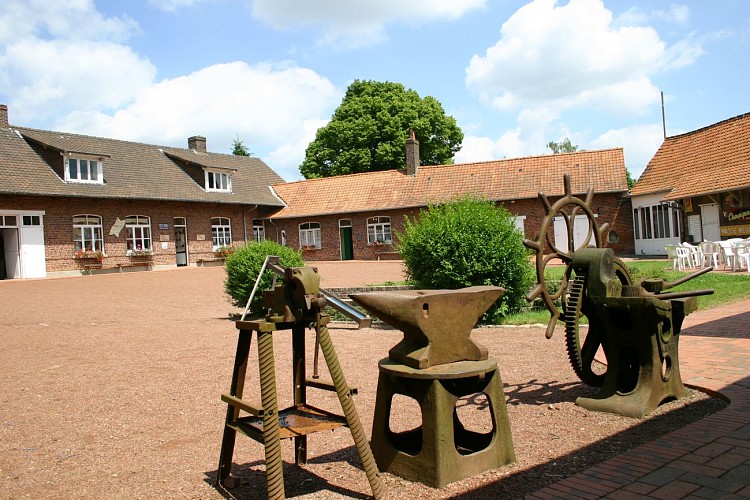
The town of Steenwerck, nestled in the French Flanders, is not merely a starting point for the Boudrelle Trail; it is a witness to centuries of history and cultural evolution. Through its architecture and landscapes, one can trace the imprints of past wars, the agricultural revolution, and the enduring spirit of the Flemish countryside. Steenwerck and its surrounds are emblematic of the struggles and triumphs that shaped this region, making every step of your journey a walk through history.
Understanding the Local Climate
The climate in Steenwerck, where the Boudrelle Trail is located, is typical of the northern French countryside. Characterized by mild summers and cool, occasionally wet winters, planning your visit from March to October aligns with the most favorable weather conditions. This period minimizes the chances of encountering heavy rainfall or overly muddy paths, enhancing your hiking experience. The ideal times are late spring and early autumn, where the moderate temperatures and reduced rainfall create perfect walking conditions.
Nestled in the heart of the picturesque French countryside, the Boudrelle Trail invites avid walkers to explore the quaint town of Steenwerck. Conceived by Nord Tourisme, this trail is a blend of natural beauty, engaging history, and local culture. As you meander through lush fields and beside the serene Grande Becque, the path offers glimpses of rural life, punctuated by charming chapelles and oratoires. The trail is not just about the walk; it's an invitation to experience the warm hospitality of local establishments like the historic Damier. Here, every step tells a story, immersing you in the tranquil ambiance of Flemish countryside life.
Key Trail Specifications
The Boudrelle Trail spans approximately 16.4 kilometers with minimum and maximum altitudes of 15 and 26 meters respectively. The total positive elevation change throughout the trail is 17 meters. These details are crucial for preparing adequately, suggesting a moderate level of hike difficulty. Notably, the path includes sections along RD 122, 277, and 138, where caution is advised. The yellow markers guide your way, ensuring you remain on the designated path throughout this captivating journey.
Seasonal Advice for Wanderers
To maximize your experience on the Boudrelle Trail, consider your timing. March through October is the ideal window, offering vibrant landscapes and temperate weather. However, be mindful of local wildlife and agricultural activities that vary with the seasons. Wear sturdy footwear, especially during the wetter months, and sun protection in summer. For safety, avoid dusk and dawn trips to steer clear of road traffic along the RD stretches. Always carry water, and perhaps some refreshments, as this day-long adventure will definitely work up an appetite.
A Glimpse Into Steenwerck's Soul
The town of Steenwerck, nestled in the French Flanders, is not merely a starting point for the Boudrelle Trail; it is a witness to centuries of history and cultural evolution. Through its architecture and landscapes, one can trace the imprints of past wars, the agricultural revolution, and the enduring spirit of the Flemish countryside. Steenwerck and its surrounds are emblematic of the struggles and triumphs that shaped this region, making every step of your journey a walk through history.
Understanding the Local Climate
The climate in Steenwerck, where the Boudrelle Trail is located, is typical of the northern French countryside. Characterized by mild summers and cool, occasionally wet winters, planning your visit from March to October aligns with the most favorable weather conditions. This period minimizes the chances of encountering heavy rainfall or overly muddy paths, enhancing your hiking experience. The ideal times are late spring and early autumn, where the moderate temperatures and reduced rainfall create perfect walking conditions.
Automatically generated.
Technical Information
Walking
Difficulty
Medium
Duration
5h
Dist.
16 km
Type of practice
Walking
Medium
5h
Show more
Altimetric profile
Starting point
Eglise, grand' Place
,
59181
STEENWERCK
Lat : 50.7009195002Lng : 2.77128687219
Steps
Points of interest
Data author

Ratings and reviews
To see around