Alert
Alerts
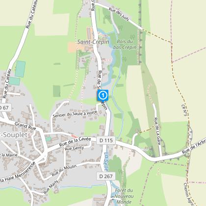
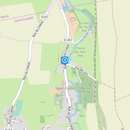
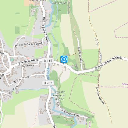
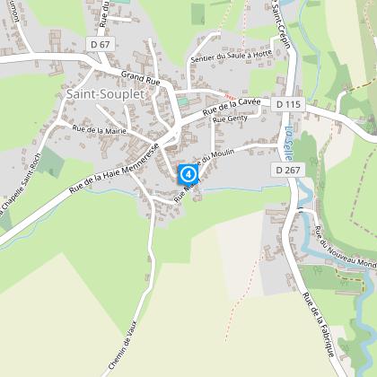
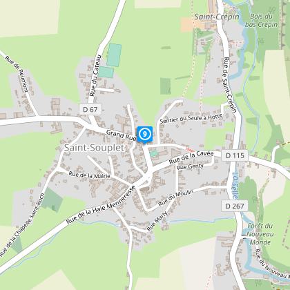
Around Saint Souplet - variant


The Cirkwi brief
Immerse yourself in the serene landscapes of the Selle valley as you embark on a journey through rustic agricultural paths and quaint country roads. This adventure, curated by Nord Tourisme, unfolds at the gateway to Avesnois and Aisne, offering a perfect blend of nature's tranquility and the countryside's untouched beauty. With the trail's yellow markings as your guide, prepare for an enchanting escapade that combines physical activity with the pleasure of discovering the untouched charm of Northern France. Ensure to arm yourself with waterproof footwear during the rainy season to fully enjoy this picturesque route.
Precise Technical Breakdown
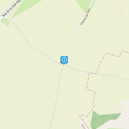
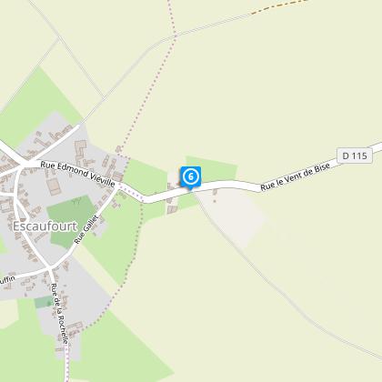
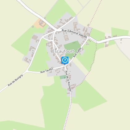
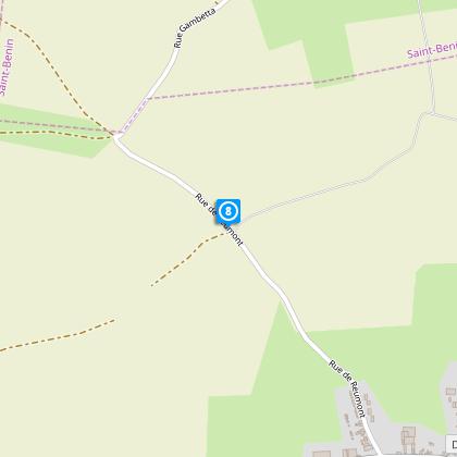
The journey covers a total distance of 10.86 kilometers, with an elevation range between 104 and 151 meters above sea level. Hikers will encounter a positive altitude change fluctuating between 114 and 142 meters, presenting a moderately challenging yet accessible terrain. The path is distinctly marked in yellow, ensuring a guided experience amidst the natural and rural landscapes. This technical precis invites seasoned hikers and casual walkers alike to gauge their readiness for an adventure that is both rewarding and invigorating.
Seasonal Tips for Travelers
When planning your visit, it’s imperative to consider the season. During spring and autumn, the verdant landscapes come alive, offering cooler temperatures and a fertile backdrop for your trek. The summer months, while offering longer days, also bring about the necessity for sun protection and hydration. Winters, with their own stark beauty, require adequate thermal gear and caution on potentially slippery paths. Regardless of the season, sturdy, waterproof footwear is recommended to navigate the varying terrains comfortably and safely.
Heart of Cultural Heritage
Saint-Souplet, nestled within the dynamic landscapes of the Nord department, stands as a testament to the rich cultural and historical fabric of the region. As a part of Hauts-de-France, this area is steeped in a history that blends agricultural tradition with the storied past of Avesnois and Aisne. The trail itself is a journey through time, offering glimpses into rural life and the enduring spirit of the French countryside. Visitors are invited to explore not just the natural beauty but to connect with the historical significance that has shaped this land and its communities.
Regional Weather Insights
The climate of Saint-Souplet can be broadly categorized into warm summers and cool, sometimes quite cold, winters. Rainfall is frequent throughout the year, emphasizing the need for waterproof gear when embarking on the trail. The best time to visit would arguably be late spring through early autumn, when the weather is most mild and the landscapes are at their most vibrant. This period offers an optimal balance of pleasant temperatures and the natural beauty of the region in full bloom.