Alert
Alerts
Type of practice
Walking
Medium
Presentation
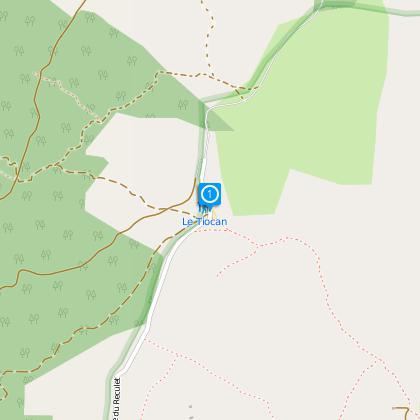
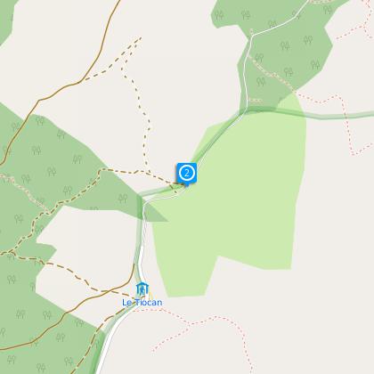
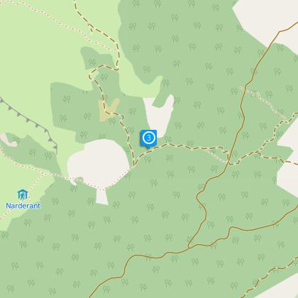
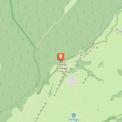
Map
Steps
Points of interest
Cirkwi brief's
Ratings and reviews
See around
Hiking Reculet and Crêt de la Neige Trail

The Cirkwi brief
Discover the Peaks of Jura: A Hiking Adventure Awaiting
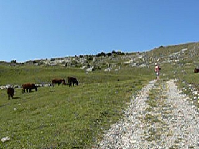
Embarking on this hike is essentially an invitation to immerse yourself in the heart of the Haute-Chaîne du Jura's natural reserve, a landscape both magnificent and delicate. Ascending the highest peaks such as Crêt de la Neige, it's a journey not just across terrain, but through a serene, untouched wilderness. Proposed by Aintourisme, this hiking trail offers a unique opportunity to connect with nature's untouched beauty, navigate through breathtaking scenic viewpoints and indulge in the tranquility of the Jura mountain Air. The ambiance is one of sheer awe, inspiring a deep appreciation for the natural world.
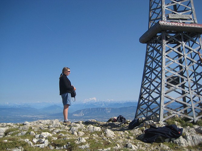
Essential Route Overview & Stats
Diving into the technicalities, the trail spans approximately 12.3 km, with the highest point reaching 1717 meters at Crêt de la Neige. The journey commences at an elevation of 864 meters, ascending to impressive heights. The overall positive elevation change maps out to around 326 meters - a testament to the trail's challenging yet rewarding nature. Navigation is facilitated by well-marked paths including the GTJ and GR9 trails, ensuring a clear, guided experience. This rigorously designed path provides an engaging challenge for both hikers and snowshoers, showcasing Aintourisme's commitment to accessible outdoor adventure.
Seasonal Advice for Trail Travelers
As a local guide, my key advice revolves around preparation and awareness of seasonal conditions. Summer brings verdant landscapes and vibrant flora, perfect for hiking. Come winter, the region transforms into a snowy wonderland, ideal for snowshoeing. Regardless of the season, ensure to pack appropriate gear - sturdy boots in summer and reliable snowshoes for winter. Keep hydrated and always stay on designated trails to protect both yourself and this fragile ecosystem. Importantly, respect the reserve's regulations; our shared responsibility is to preserve its beauty for future generations.
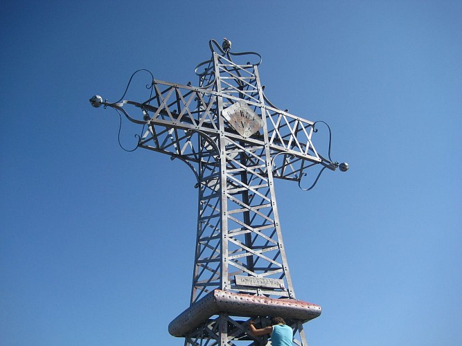
The Heart of Haute-Chaîne du Jura
Thoiry, sitting at the doorway to this adventure, is more than just a starting point; it's a reflection of the rich cultural fabric and historical significance of the Ain region. This area, cradled in the Haute-Chaîne du Jura reserve, showcases a harmonious blend of natural beauty and human heritage. The Jura Mountains, beyond their breathtaking vistas, share tales of geological marvels and human resilience. The region's unique ecosystem and cultural legacy, from traditional crafts to architectural landmarks, deepen the bond between man and nature, making every step in this journey a walk through history.
Local Climate Insights
The climate in the Haute-Chaîne du Jura typically features distinct seasons, each with its charm. Summers are mild, offering optimal conditions for hiking, while winters cloak the landscape in snow, creating a paradise for snowshoers. The transitional periods of spring and autumn bring fluctuating conditions; thus, checking the weather forecast before setting out is crucial. For the best experience, aim for late spring to early autumn when the weather is most favorable. Always prepare for potential weather changes, as mountain conditions can shift rapidly, to ensure a safe and enjoyable exploration of this stunning region.
Embarking on this hike is essentially an invitation to immerse yourself in the heart of the Haute-Chaîne du Jura's natural reserve, a landscape both magnificent and delicate. Ascending the highest peaks such as Crêt de la Neige, it's a journey not just across terrain, but through a serene, untouched wilderness. Proposed by Aintourisme, this hiking trail offers a unique opportunity to connect with nature's untouched beauty, navigate through breathtaking scenic viewpoints and indulge in the tranquility of the Jura mountain Air. The ambiance is one of sheer awe, inspiring a deep appreciation for the natural world.
Essential Route Overview & Stats
Diving into the technicalities, the trail spans approximately 12.3 km, with the highest point reaching 1717 meters at Crêt de la Neige. The journey commences at an elevation of 864 meters, ascending to impressive heights. The overall positive elevation change maps out to around 326 meters - a testament to the trail's challenging yet rewarding nature. Navigation is facilitated by well-marked paths including the GTJ and GR9 trails, ensuring a clear, guided experience. This rigorously designed path provides an engaging challenge for both hikers and snowshoers, showcasing Aintourisme's commitment to accessible outdoor adventure.
Seasonal Advice for Trail Travelers
As a local guide, my key advice revolves around preparation and awareness of seasonal conditions. Summer brings verdant landscapes and vibrant flora, perfect for hiking. Come winter, the region transforms into a snowy wonderland, ideal for snowshoeing. Regardless of the season, ensure to pack appropriate gear - sturdy boots in summer and reliable snowshoes for winter. Keep hydrated and always stay on designated trails to protect both yourself and this fragile ecosystem. Importantly, respect the reserve's regulations; our shared responsibility is to preserve its beauty for future generations.
The Heart of Haute-Chaîne du Jura
Thoiry, sitting at the doorway to this adventure, is more than just a starting point; it's a reflection of the rich cultural fabric and historical significance of the Ain region. This area, cradled in the Haute-Chaîne du Jura reserve, showcases a harmonious blend of natural beauty and human heritage. The Jura Mountains, beyond their breathtaking vistas, share tales of geological marvels and human resilience. The region's unique ecosystem and cultural legacy, from traditional crafts to architectural landmarks, deepen the bond between man and nature, making every step in this journey a walk through history.
Local Climate Insights
The climate in the Haute-Chaîne du Jura typically features distinct seasons, each with its charm. Summers are mild, offering optimal conditions for hiking, while winters cloak the landscape in snow, creating a paradise for snowshoers. The transitional periods of spring and autumn bring fluctuating conditions; thus, checking the weather forecast before setting out is crucial. For the best experience, aim for late spring to early autumn when the weather is most favorable. Always prepare for potential weather changes, as mountain conditions can shift rapidly, to ensure a safe and enjoyable exploration of this stunning region.
Automatically generated.
Technical Information
Walking
Difficulty
Medium
Dist.
12 km
Type of practice
Walking
Medium
Show more
Altimetric profile
Starting point
01710
Thoiry
Lat : 46.24799Lng : 5.95793
Steps
Data author

Ratings and reviews
To see around