Alert
Alerts
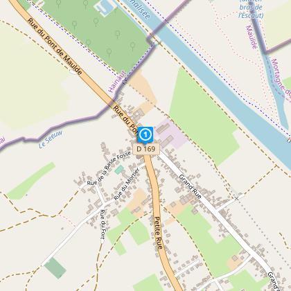
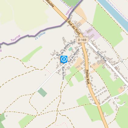
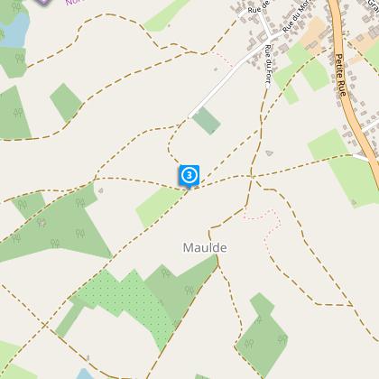
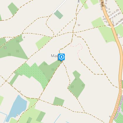
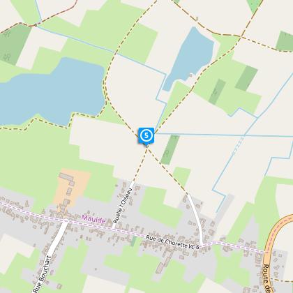
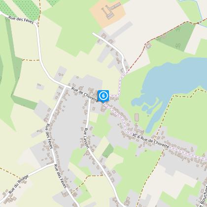
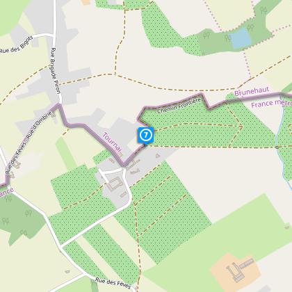
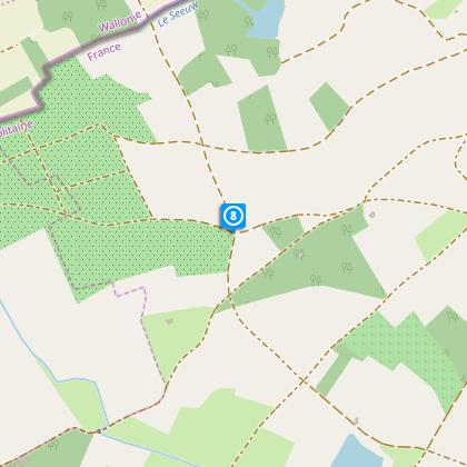
Nursery Circuit

The Cirkwi brief
Set your sights on a refreshing journey through the beautiful landscapes of Maulde with the "Circuit des Pépinières." Crafted by Nord Tourism, this route invites both avid walkers and casual strollers to explore the scenic censes and nurseries nestled in the countryside. Wandering on paved paths, quaint country roads, and dirt trails, you'll experience the serene allure of agricultural life. Despite the occasional challenge of navigating around farm machinery and the advice to wear waterproof shoes, the rewards of tranquil views and the embrace of nature are undeniably worth it. Join us in experiencing the enchantment of rural France, where each step tells a story of the land.
Brief Technical Overview
The "Circuit des Pépinières" boasts a 9.5km route with an altitude variation from 19m to 40m, incorporating a total positive elevation of 28m. This circuit is marked by a consistent yellow signage throughout, guiding walkers across a mixture of pavements, country lanes, and dirt paths. The terrain includes moderate inclines and sections that can be challenging due to agricultural activity, particularly for those without waterproof footwear. Its technical simplicity makes it an accessible option for most, provided that visitors are prepared for the terrain and machinery encounters.
Seasonal Tips and Safety Advice
To fully enjoy the "Circuit des Pépinières," timing and preparation are key. In spring and autumn, the landscapes are especially vibrant, but the paths can be muddy; waterproof shoes are a must. During the summer, early morning or late afternoon walks are recommended to avoid the midday heat. Winter requires caution due to slippery paths. Always inform someone of your route before departure, stay hydrated, and carry a map despite the clear yellow markers. Observe farm machinery from a safe distance to ensure a pleasant and secure experience throughout the year.
Exploring Maulde’s Heritage
Maulde, located in the historic department of Nord, France, stands as a testament to the rich agricultural and cultural heritage of the region. This tranquil parish, with its origins deeply rooted in medieval history, showcases the enduring relationship between the land and its inhabitants. The "Circuit des Pépinières" not only highlights the area's natural beauty but also its historical significance. Each step along this path weaves through a landscape shaped by centuries of farming and cultivation, offering a living museum of rural life in Nord.
Weather Insights and Best Visits
The climate in Maulde is characterized by mild, rainy winters and warm, but occasionally rainy summers. The best times to embark on the "Circuit des Pépinières" are late spring and early autumn, when the weather is most favorable—cool mornings and warm afternoons with lower chances of rainfall. These seasons beautifully accentuate the natural splendor of the route, making your journey through the heart of French countryside an unforgettable experience. Always check the forecast before setting out and dress accordingly to fully enjoy what nature has to offer in this charming region.