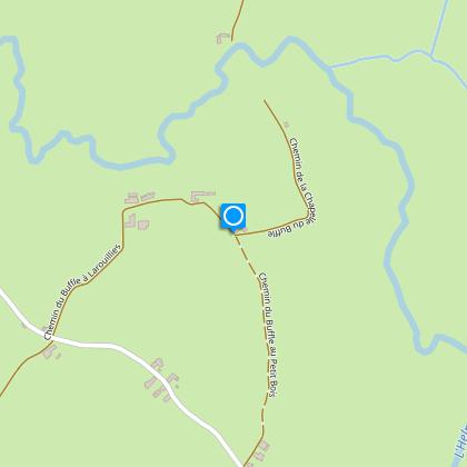
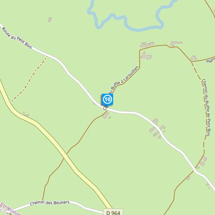
To see around
See more
Open
Close
Show
Show
Show
Show
Show
Show
Show
Show
Show
Show
Show

Oups... It would appear that Cirkwi does not have permission to use your location.

Description
Map
Steps
Cirkwi brief's
Ratings and reviews
See around

Buffalo Trail

Etroeungt sentier du buffle
Credit : Nord Tourisme

The Cirkwi brief

Discover the Heart of Thiérache: Bustling Nature Trails Await

Embark on a journey through the enchanting paths of the Thiérache and the serene Helpe Mineure valley, where the Sentier du Buffle weaves its way through lush, moisture-rich environments. This adventurous trek, spanning a distance of 11.5 km, offers an unrivaled opportunity to connect with nature's untouched beauty. Mandatory waterproof footwear underscores the trail's predominantly wet conditions throughout the year. Crafted by Nord Tourisme, this itinerary is not merely a walk; it's an expedition into the heart of vibrant biodiversity, perfect for those seeking to immerse themselves fully in the tranquil wilderness.


Brief Technical Overview of the Trail

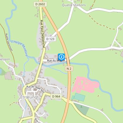
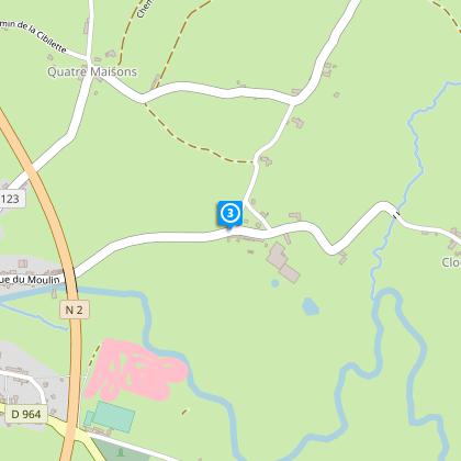
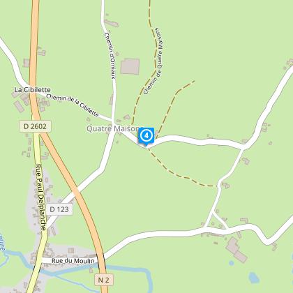
The Sentier du Buffle, marked by yellow signs, demands precise preparation due to its technical nature. Stretching 11.455 km, it reaches a maximum altitude of 194 meters, with the lowest point dropping to 150 meters. The total elevation gain and loss are identically measured at 193 meters, illustrating the trail's undulating terrain. This detailed quantification underscores the route's rigorous demands, guiding experienced hikers through its challenging yet rewarding expanse.


Seasonal Tips for Trail Trekkers

As the seasons change, so does the Sentier du Buffle. Spring and autumn offer the trail's most photogenic vistas, though waterproof gear remains indispensable due to the lingering wetness. Summer brings warmer air but also increases the density of the undergrowth, making navigation trickier. Winter, while stark, can dangerously slicken paths; caution is advised, particularly on steeper sections. Regardless of time, always carry hydration snacks, and a map to enhance your journey's safety and enjoyment.


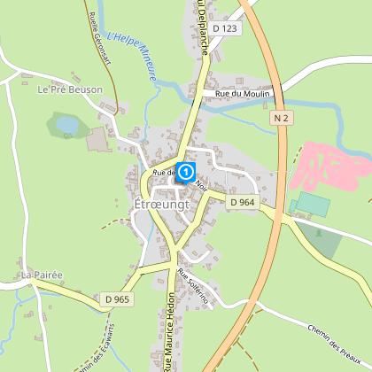
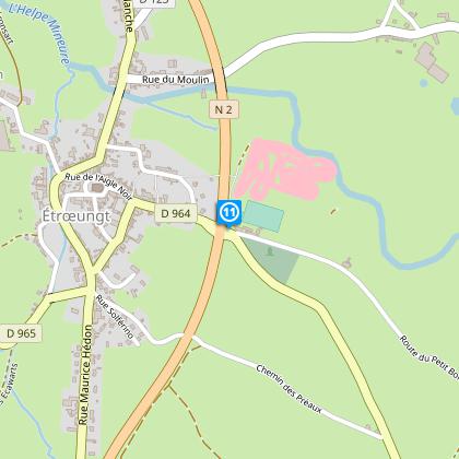
Exploring Etroeungt: A Historical Snapshot

Etroeungt, nestled within the heart of Thiérache, serves as the gateway to the Sentier du Buffle. This region, rich in history and culture, played a pivotal role during various epochs in France's storied past. The lush landscapes you traverse were once the backdrop for ancient battles and intriguing political tales. Walking this trail, you're treading across land that has been sculpted not only by nature but also by the countless generations that have called this territory home.


Guiding You Through Thiérache’s Climate

The climate in Thiérache is classified as maritime, characterized by mild temperatures and ample precipitation throughout the year. This ensures the Sentier du Buffle remains lush and vibrant, though also quite wet, hence the recommended waterproof attire. The optimal period for trail exploration is typically from late spring to early autumn, when weather conditions strike a balance between temperature comfort and reduced rainfall, providing the most enjoyable hiking experience.

Automatically generated.

Technical informations

This circuit was updated on: 17/02/2024
11 km
3 h
max. 194 m
min. 152 m
131 m
Styles : HikingIn the country
Public : Experienced hikers

Altimetric profile

Starting point

Eglise Saint Martin , 59129 ETROEUNGT
Lat : 50.0584497223Lng : 3.92844143427

Steps

image du object
1

Point 1

A l’église, partez sur la droite de l’édifice. Après la place et la mairie, descendez à gauche les escaliers ; en bas, tournez à droite puis suivez à gauche l’étroit sentier qui enjambe l’Helpe Mineure et aboutit au moulin.

- Nord Tourisme -
Consulter
image du object
2

Point 2

Continuez à droite, passez devant le moulin puis sous la RN 2.

- Nord Tourisme -
Consulter
image du object
3

Point 3

Au croisement, montez à gauche sur 200 m puis empruntez à gauche le sentier, face à l’habitation.

- Nord Tourisme -
Consulter
image du object
4

Point 4

Suivez à gauche la RD 123 puis, à l’intersection, descendez à droite.

- Nord Tourisme -
Consulter
image du object
5

Point 5

Prenez à droite, puis à gauche traversez le hameau des Orniaux. Montez vers le Roteleux – ferme – en obliquant à droite à la fourche.

- Nord Tourisme -
Consulter
image du object
6

Point 6

Au Roteleux, descendez à droite le large chemin entre les haies. A l’intersection, poursuivez à gauche ; après une croix, bifurquez à droite. Tournez à gauche sur la RD 123, puis marchez sur 250 m.

- Nord Tourisme -
Consulter
image du object
7

Point 7

Suivez à droite le chemin de la Chapelle du Buffle jusqu’à une route.

- Nord Tourisme -
Consulter
image du object
8

Point 8

Effectuez un crochet droite/gauche et continuez en direction de la Capelette. Coupez une route, franchissez l’Helpe Mineure par la passerelle et suivez le sentier herbeux.

- Nord Tourisme -
Consulter
image du object
9

Point 9

Suivez à droite la route et traversez le hameau du Buffle. Autrefois, à cet endroit, se trouvaient un étang, un moulin, un pont-sentier que gardaient deux fortins espagnols.

- Nord Tourisme -
Consulter
image du object
10

Point 10

Empruntez à droite la route qui domine la vallée jusqu’au lieu-dit la Chénoque.

- Nord Tourisme -
Consulter
image du object
11

Point 11

Suivez à droite le sentier qui longe puis passe sous la RN 2. 200 m après le passage, retrouvez à gauche les escaliers et à droite la place de l’église.

- Nord Tourisme -
Consulter

Ratings and reviews

To see around
See more
Open
Close
Show
Show
Show
Show
Show
Show
Show
Show
Show
Show
Show