Alert
Alerts
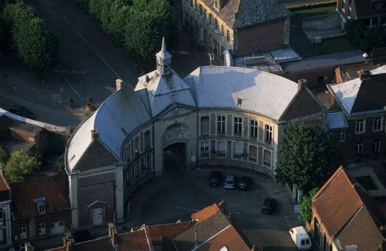
Abbey Circuit

The Cirkwi brief
Imagine embarking on a journey where history and nature intertwine, thanks to Nord Tourisme. The Abbey Circuit offers a unique exploration between the dense Forest of Marchiennes and the serene Scarpe canal. Traversing cobbled paths, forest lanes, and riverside trails, this route is crafted for those who seek adventure in the great outdoors. The circuit's proximity to historical landmarks, such as an aged monastery now home to the Local History Museum, enriches your stroll with cultural depth and storytelling, inviting you to step into the shoes of Marchiennes' past inhabitants.
Essential Route Insights
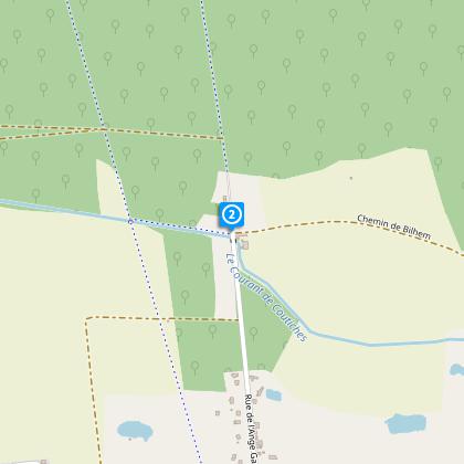
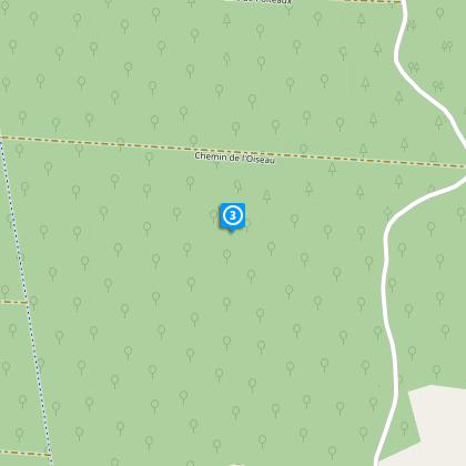
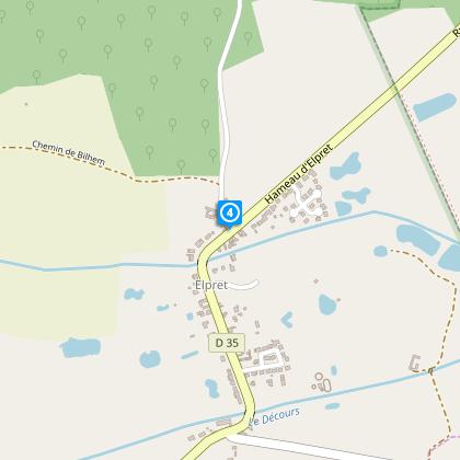
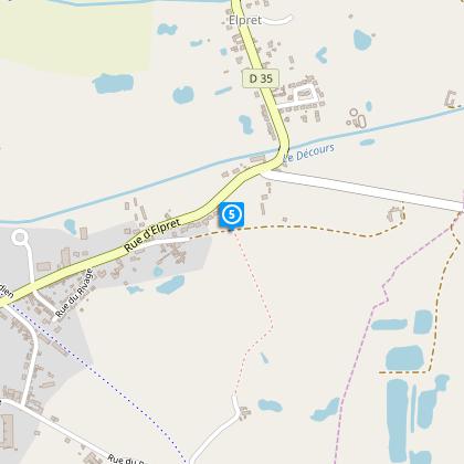
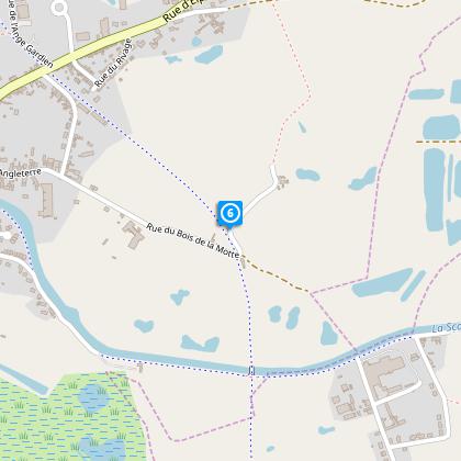
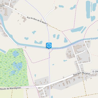
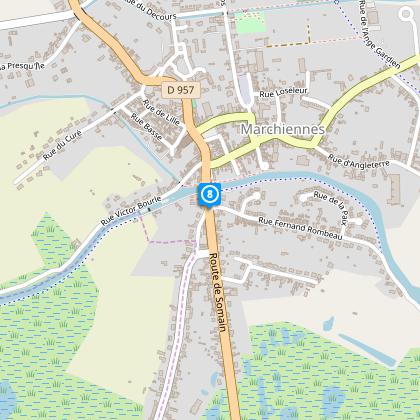
The Abbey Circuit spans approximately 9.2 km, with an altitude range modestly sitting between 17 to 21 meters. This elevation variation, though slight, introduces a total positive gradient change of 6 meters throughout the journey. The path's yellow markers serve as your guide, ensuring navigation is straightforward. The route's composition - a mix of paved sections, forested tracks, and canal-side paths - adds a layer of physical engagement suitable for avid walkers. However, it's worth noting that during rainy periods, access to certain forest segments can be challenging.
Seasonal Tips for Travellers
When planning your visit, it’s crucial to consider the seasonal dynamics of the Marchiennes area. In spring and summer, the lush greenery and blooming flora make the forest trails particularly enchanting, albeit with potentially muddy patches after rain. Autumn brings a spectacular display of changing leaves, ideal for photography, while also being drier. Winter, however, requires extra caution due to slippery paths and possible access issues in the forest. Regardless of the season, sturdy, waterproof footwear is indispensable for a comfortable and safe experience on the Abbey Circuit.
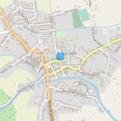
Marchiennes: A Cultural Keystone
The quaint town of Marchiennes, with its roots deeply embedded in the rich tapestry of French history, plays a pivotal role in the charm of the Abbey Circuit. Historically, this area has been a significant ecclesiastical center, housing an abbey that significantly influenced the region's spiritual and cultural development. The local museum, situated in the monastery’s former prison, offers a glimpse into Marchiennes through the ages - from its strategic importance in wars to its artistic and industrial achievements. This historical backdrop adds a profound sense of place to the circuit’s natural beauty.
Marchiennes Weather Guide
The climate in Marchiennes is typically temperate, characterized by mild summers and cool winters. Precipitation is fairly evenly distributed throughout the year, although the drier months from April to September offer the most agreeable conditions for walking the Abbey Circuit. To fully appreciate the route’s scenic and historical attractions without the inconvenience of rain or mud, scheduling your visit during these months is advisable. By doing so, you'll enjoy the circuit in optimal walking conditions, making the most of your Marchiennes adventure.