Alert
Alerts
Type of practice
Walking
Very easy
1h40mn
Presentation
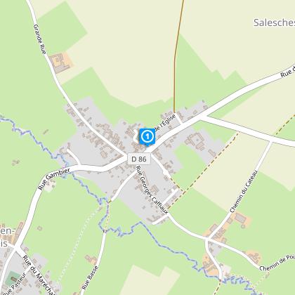
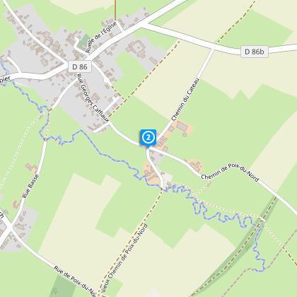
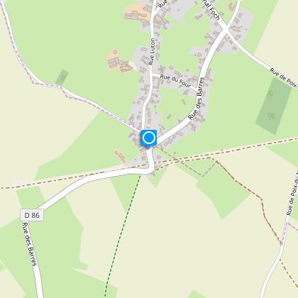
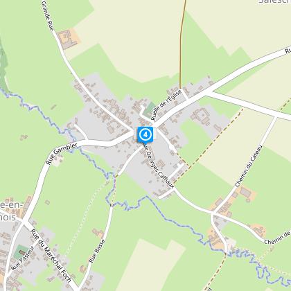
Map
Steps
Points of interest
Cirkwi brief's
Ratings and reviews
See around
Circuit of wildflowers_variant

Credit : Nord Tourisme
The Cirkwi brief
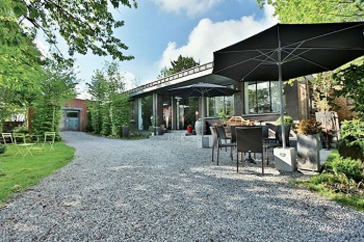
Discover Salesches: Delve into Nature's Floral Trail
Offered by Nord Tourism, this journey isn't just a walk; it's an immersion into the lush, floral landscapes of Salesches, inviting explorers to a 12 km delight for seasoned walkers or a 5 km trek for a more leisurely experience. Following the "caches" through charming countryside, agricultural paths, and peaceful roads, this adventure promises a return to an authentic, pastoral world. Perfect for families seeking an escape or individuals yearning for tranquility, the route connects you with nature's serenity and the craftsmanship of local brewers, enriching your journey with every step.
Path Specifications Unveiled
Spanning a distance of approximately 5 km, the route starts from a modest altitude of 94 meters, peaking at 129 meters. This elevation change introduces a total positive and negative variation of 66 meters, presenting a mild yet engaging challenge for walkers. The path, marked by yellow signs, guides explorers through a picturesque landscape, ensuring a navigable and enjoyable experience. This precise mesh of distance, elevation, and signposting crafts a well-balanced itinerary designed for optimal engagement with the region's natural beauty.
Tips for Every Season
Embarking on this journey requires mindfulness of the season. During rainy periods, waterproof footwear is essential to navigate the trails comfortably. Summers offer lush views, but also demand sun protection and hydration. Autumn brings a palette of colors, yet paths may be slippery with fallen leaves. Winter, while crisp, may pose its own challenges with snow or ice. Regardless of the season, always prepare for the regional climate and check the weather forecast ahead of your visit for a safe and enjoyable experience.
The Heart of Salesches Explored
Salesches, nestled within the Nord department, bridges the rich history and vibrant culture of the region. This area, known for its agricultural heritage and bocage landscapes, played a pivotal role in local trade and community life. The meticulously maintained trails not only serve as a modern conduit for exploration and fitness but also echo the paths once traversed by the region's ancestors. Engaging with this route offers a unique opportunity to connect with the historical heartbeat of Salesches and its enduring significance within the wider tapestry of French heritage.
Climate Insights for Travelers
The regional climate of Salesches is characterized by mild differences between seasons, making it a year-round destination. However, spring and early autumn often present the most favorable weather conditions for hiking - mild temperatures and reduced rainfall enhance the natural beauty of the landscape, making these periods ideal for exploring. Winter tends to be cooler and wetter, potentially affecting trail conditions. For the optimal experience, targeting your visit during these milder seasons will provide both comfort and the opportunity to fully appreciate the area's natural and cultural offerings.
Automatically generated.
Technical Information
Walking
Difficulty
Very easy
Duration
1h40mn
Dist.
5 km
Type of practice
Walking
Very easy
1h40mn
Show more
Altimetric profile
Starting point
2
Place Roger Salengro
,
59218
SALESCHES
Lat : 50.2032897275Lng : 3.58869656486
Steps
Data author

Ratings and reviews
To see around