Alert
Alerts
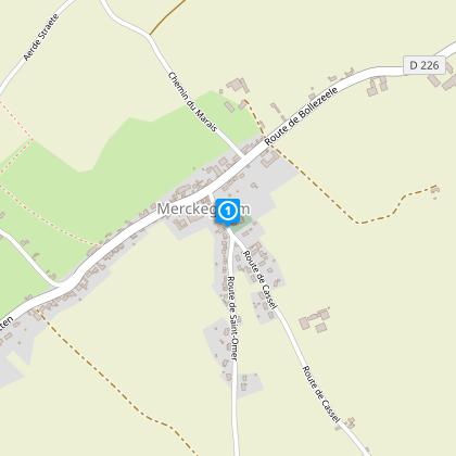
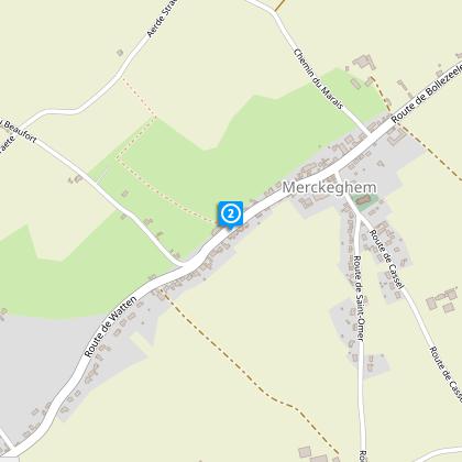
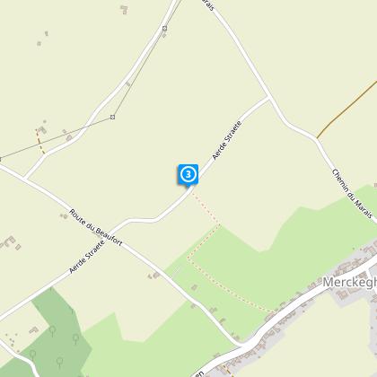
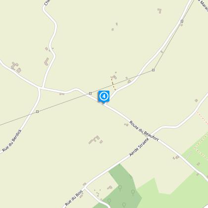
Trail of the Eeckout Veld

The Cirkwi brief
Imagine stepping into a landscape where every turn brings a new vista, a place where the old maritime dykes tell tales of bygone days. This picturesque route, crafted by Nord Tourisme, beckons with its serene country roads and hedge-lined agricultural paths. The Eeckout Veld circuit is not just a walk; it's an embrace of nature and history, accessible year-round. While traversing this path, the whisper of the past is ever present, and with each step, the beauty of Merckeghem unfolds. It's an experience that doesn't just guide you through it but seductively draws you into its heart.
Brief Technical Insight on Eeckout Veld
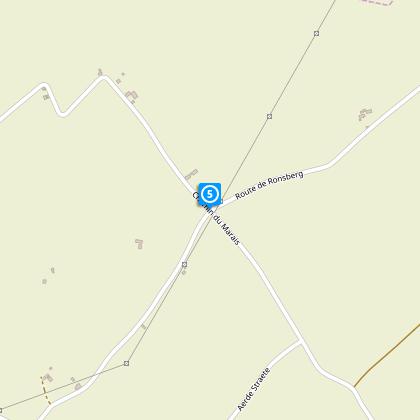
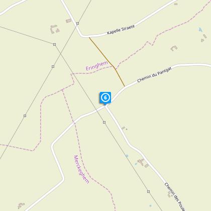
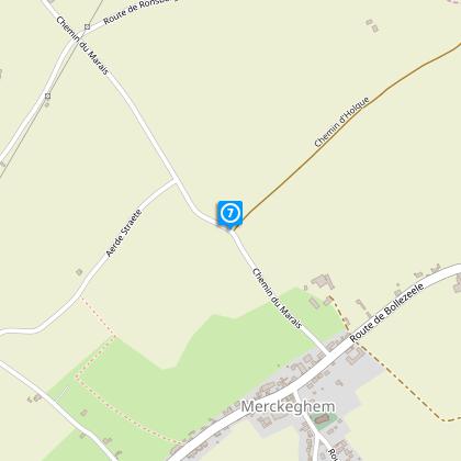
The Eeckout Veld route spans a total distance of approximately 7.07 km, with elevation ranging from 1 to 58 meters above sea level. It features a mild elevation gain between 86 to 89 meters, indicating a relatively easy to moderate hiking experience. The yellow markings guide adventurers along this scenic journey, offering mixed terrain that includes country roads and natural trails. In wet conditions, certain segments can become slippery or muddy, highlighting the need for appropriate footwear. This technical snapshot underscores a journey well-suited for enthusiasts seeking a blend of accessibility and challenge.
Seasonal Tips for the Trail
Regardless of the season, the Eeckout Veld has its unique charm. During spring and summer, the lush scenery provides a vibrant backdrop for your adventure, though it's advisable to wear sunscreen and hats for protection against the sun. Autumn transforms the route into a canvas of fall colors, making it an ideal time for photography enthusiasts. Winters, while serene, require caution due to slippery paths; thus, sturdy, waterproof footwear is essential. Common sense and preparation, such as bringing water and snacks, will enhance your experience throughout the year.
Merckeghem: A Stroll Through History
Merckeghem, nestled within the heart of Nord-Pas-de-Calais, France, is not just a starting point for the Eeckout Veld circuit but a mosaic of cultural and historical richness. This area, with its evocative landscapes and ancient maritime dykes, offers more than just natural beauty. It stands as a testament to the region's intricate history, from its strategic importance in medieval times to its role in shaping agricultural practices. The Eeckout Veld, within this broader historical tableau, serves as a bridge connecting the present to the past, inviting explorers to tread the line between adventure and discovery.
Local Weather Insights for Visitors
The Nord-Pas-de-Calais region, characterized by its temperate maritime climate, offers mild winters and comfortable summers, making it an inviting destination year-round. Rainfall is evenly distributed throughout the year, though the Eeckout Veld trail may present more challenging conditions during wet periods. Spring through autumn provides the most agreeable weather for trekking, with pleasant temperatures and the countryside in full bloom. Planning your visit between March and October will allow you to fully enjoy the Eeckout Veld circuit under the best possible meteorological conditions.