Alert
Alerts
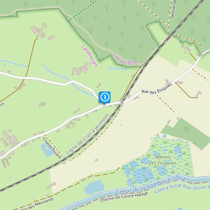
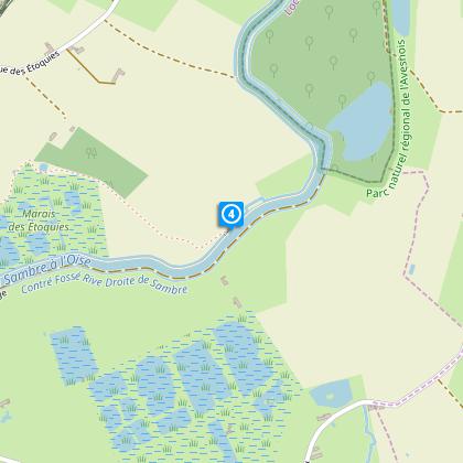
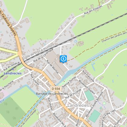
Path of Etoquies


The Cirkwi brief
Embarking on a journey through the Sentier des Etoquies offers a unique blend of tranquility and adventure. This carefully curated path by Nord Tourisme leads explorers through the enchanting bocage belt of the Mormal forest, serene rural Sambre, and the captivating moist meadows that flank it. The diversity of landscapes encountered through quiet trails and small roads is simply remarkable. Experience the natural harmony and the gentle whisper of nature's secrets as you navigate this picturesque route. Remember, the beauty of this trail fully unveils itself to those prepared for its conditions.
Technical Insights on Trail
The Sentier des Etoquies spans approximately 9.42 km, nestled between the altitudes of 132m and 170m. The trail presents a total positive elevation change of 48m, making it a relatively mild hike suitable for a wide range of ages and fitness levels. This loop journey is marked by yellow signs, ensuring a blend of accessibility and exploration. Whether you're a seasoned hiker or a casual stroller, the varied terrains of this trail demand attention to detail and a moderate level of preparation.
Seasonal Guide and Tips
Each season paints the Sentier des Etoquies in a different light. In spring, the trail blooms with life; however, patches can be muddy, so waterproof shoes are advisable. Summer offers lush landscapes, but ensure to carry water and sun protection. Autumn transforms the path into a mosaic of colors, perfect for photography enthusiasts, though the trail can be slippery with fallen leaves. Winter, crisp and clear, may require extra precautions for frosty patches. Remember, each visit offers distinct charms and challenges.
Historical Echoes of Landrecies
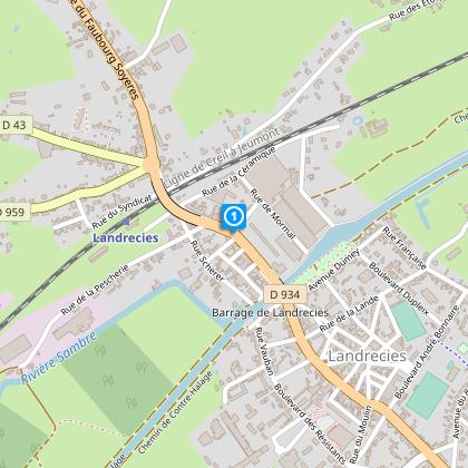
Landrecies, the starting point of this mesmerizing trail, is steeped in history and culture. Nestled within the Nord department, it is a testament to the rich tapestry of French history and the resilience of its people. The strategic importance of Landrecies and its surroundings has been evident since ancient times, playing pivotal roles in various conflicts. It is this historical depth that adds an invisible layer of wonder to the Sentier des Etoquies, making each step a journey not just through nature, but through time itself.
Climate Insights for Travelers
The region around Sentier des Etoquies experiences a temperate climate, with distinct seasons that each bring their own beauty and challenges to the trail. Summers are mild and pleasant, making it a prime time for exploration. However, rainfall can be frequent, highlighting the importance of weather-appropriate gear. The best times to visit are late spring through early autumn, when the weather is most amenable for outdoor activities. Always check the forecast before setting out to ensure the best possible experience.