To see around
See more
Open
Close
Show
Show
Show
Show
Show
Show
Show
Show
Show
Show
Show

Oups... It would appear that Cirkwi does not have permission to use your location.

Description
Map
Steps
Cirkwi brief's
Ratings and reviews
See around

Mill Circuit of Vertain

Templeuve circuit du moulin de vertain
Credit : Nord Tourisme

The Cirkwi brief

Discover Templeuve: A Scenic Journey Through Nature

Embarking on a journey through the picturesque landscapes of Templeuve, you'll find yourself enveloped by the serene beauty characteristic of this region. Crafted by Nord Tourisme, the Circuit du Moulin de Vertain offers a delightful escape into the joy of the countryside, accessible throughout the year. Starting from the quaint railway station, the path promises more than just a walk; it's a cultural immersion into the heart of rural France. With trails lined by the changing seasons, each step is a story unveiling the connection between land and life, inviting explorers to discover the charm of Templeuve at their own pace.


Brief Technical Itinerary Guide

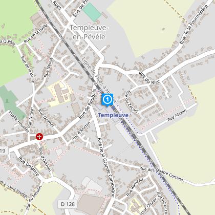
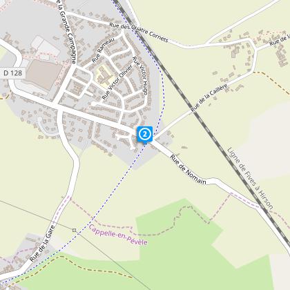
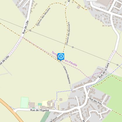
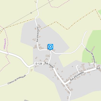
The Circuit du Moulin de Vertain spans approximately 13.35 kilometers, kicking off from the railway station at 7 Place de la Gare. The maximum altitude reached is 53 meters, with the lowest point at 27 meters, offering a total positive and negative elevation change of approximately 31 meters. Marked with a yellow trail, this route traverses through diverse terrains, requiring sturdy, waterproof footwear during wetter months. Though accessible year-round, its diverse terrains present varying levels of challenge depending on weather conditions and seasonal changes.


Seasonal Excursion Tips & Safety

To maximize your experience on the Circuit du Moulin de Vertain, it's advisable to wear waterproof shoes during rainy periods, especially as the trail meanders through agricultural paths and areas prone to moisture. The summer months light up the path with lush scenery, whereas autumn paints a vibrant tableau of colors. Winter offers a stark but beautiful landscape, yet requires caution due to slippery paths. Spring, teeming with new life, provides a perfect balance of temperature and scenery, making it the most recommended time to visit this picturesque trail.


Templeuve's Rich Heritage Explored

Templeuve, nestled within the Hauts-de-France region, holds a significant place in France's cultural tapestry. This territory, marked by the Battle of Péronne and noteworthy for its agricultural development, has been instrumental in the tapestry of French history. The Circuit du Moulin de Vertain is not just a trail; it's a journey through time, showcasing the lush countryside that has supported local communities for centuries. Its starting point, the railway station, serves as a symbol of the region's evolution, blending its rich history with the promise of modern exploration.


Climate Insights for the Ideal Visit

The Hauts-de-France region, encompassing Templeuve, is characterized by a temperate climate with mild to warm summers and cool winters. Rainfall is distributed fairly throughout the year, with potential for rain during all seasons. To experience the Circuit du Moulin de Vertain at its finest, plan your visit between April and October. During these months, the weather is most favorable, allowing the natural beauty of the area to shine brightly, offering captivating views of the rolling countryside and vibrant flora without the hindrance of excessive rain or cold.

Automatically generated.

Technical informations

This circuit was updated on: 17/02/2024
13 km
2 h 30 mn
max. 54 m
min. 26 m
24 m
Styles : BaladeIn the country
Public : Occasional hikers

Altimetric profile

Starting point

7 Place de la Gare , 59242 TEMPLEUVE
Lat : 50.52887844Lng : 3.17536625698

Steps

image du object
1

Point 1

De la gare, empruntez le chemin piétonnier. Traverser la RD 128.

- Nord Tourisme -
Consulter
image du object
2

Point 2

Poursuivez sur la voie verte de la Pévèle. Au bout, continuez sur la route le long des habitations et du bâtiment d'usine. Puis suivez le premier chemin à droite.

- Nord Tourisme -
Consulter
image du object
3

Point 3

Continuez tout droit, traversez la RD 19 et poursuivez à travers champ. A la rue du Fayel, prenez à gauche puis à droite la rue haute. A l'intersection suivante, continuez votre descente. Tournez ensuite à droite sur la rue d'Ardompré.

- Nord Tourisme -
Consulter
image du object
4

Point 4

Prenez à gauche et suivez la rue principale sur 1300 m.La rue devient rue de la Chantereine. A l'intersection, prenez à droite.

- Nord Tourisme -
Consulter
image du object
5

Point 5

Avant la route, engagez vous à gauche sur le sentier enherbé et récupérez en face le chemin rectiligne à travers champs. Attention ce chemin privé d’Association Foncière de Remembrement fait l’objet d’une convention d’autorisation de passage. Par votre comportement, permettez sa pérennité. Après un coude à gauche, vous longez une zone de vergers. A la route, virez à droite. Après la voie ferrée et avant le n° 22, empruntez à gauche le sentier à l’entrée duquel se dresse un calvaire. Suivez ce chemin sur 900 m, passez la barrière – que vous refermerez derrière vous – et aboutissez sur la RD 19.

- Nord Tourisme -
Consulter
image du object
6

Point 6

Cheminez un court instant à droite sur le bas côté puis obliquez à gauche sur le chemin – prudence en traversant. Le chemin longe bois et prairies et rejoint le hameau de La Rive. Continuez à droite le long des bâtiments de ferme, prenez la rue à gauche. 75 m plus loin, engagez vous à gauche entre les habitations. Il s’agit d’un ancien chemin pavé qui mène en ligne droite au hameau de Wachemy. Allez à droite puis prenez le premier chemin à gauche. Ces pavés conduisent au moulin de Vertain.

- Nord Tourisme -
Consulter
image du object
7

Point 7

Prenez à gauche pour passer au pied du moulin et continuez tout droit. Au bout du chemin, empruntez à droite le bas coté de la route sur 350 m. Prenez à gauche la rue du Zécart, à droite la rue du Riez puis à gauche la rue de Roubaix. Traversez la voie ferrée et reprenez à gauche le chemin piétonnier pour retrouver votre point de départ.

- Nord Tourisme -
Consulter

Ratings and reviews

To see around
See more
Open
Close
Show
Show
Show
Show
Show
Show
Show
Show
Show
Show
Show