Alert
Alerts
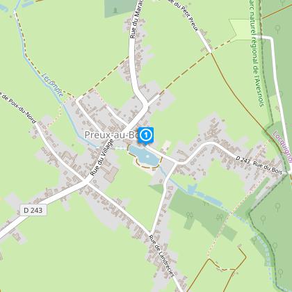
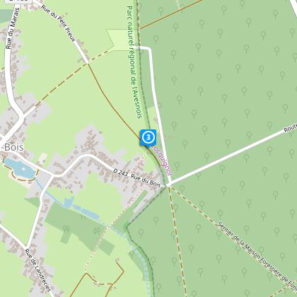
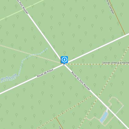
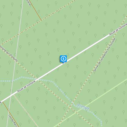
Circuit de Preux-au-Bois

The Cirkwi brief
Embarking on this journey meticulously curated by Nord Tourisme takes you through an engaging trail that combines the beauty of scenic bocage belts and the lush depths of the Mormal forest. A path where each step promises a new discovery, tailored to fit the seasoned hiker and families alike. Imagine the sensation of wandering through diverse landscapes, where each season paints the trail in its own palette, offering an ever-changing backdrop. This is a place where the fusion of nature and accessibility creates a timeless experience, urging you to lace up your waterproof shoes and embrace the adventure awaiting on the Circuit of Preux-au-Bois.
Brief Technical Overview of Trail
Spanning a total distance of approximately 10.12 km, with elevations ranging from 149 to 169 meters, the Circuit of Preux-au-Bois provides a moderate challenge for hikers. Highlights include a positive and negative elevation change of 69 meters, hinting at gentle slopes rather than steep climbs, making it suitable for a broad audience. Marked with yellow signs, the trail meticulously navigates between asphalt paths closed to traffic and rustic forest roads. Particularly, it connects strategic points such as “du Quesne” to “Maronnes” and “David,” ensuring a cohesive and immersive natural experience.
Seasonal Advice and Safety Tips
As your local guide, I recommend planning your visit according to the season. Spring and autumn boast vibrant flora and temperate weather, ideal for leisurely hikes. Summer offers lush greenery but be prepared for warmer temperatures - hydration is key. Winter, while stark, can be magical after snowfall, though waterproof and slip-resistant footwear is essential due to wet paths. Always adhere to the marked trails for your safety and to preserve the natural beauty of Preux-au-Bois. Lastly, the forested sections can be particularly soggy, so waterproof boots are advisable year-round.
Historic Essence of Preux-au-Bois
Preux-au-Bois, nestled within the Nord department, holds a rich tapestry of culture and history. This region, forming part of the larger Hauts-de-France area, is steeped in tales that span centuries, from ancient Roman roads traversing the lands to pivotal battles in both World Wars. The forest of Mormal itself is a living monument, offering solace and sanctuary throughout time. It is within this verdant enclave that the Circuit of Preux-au-Bois weaves its path, inviting travelers to tread lightly on lands that have borne witness to the passage of time and the relentless resilience of nature.
Climate Insights for Optimal Visits
The climate in Preux-au-Bois generally aligns with the oceanic climate of the Nord region, marked by mild winters and comfortably warm summers. Precipitation is fairly evenly distributed throughout the year, though late spring to early autumn provides the most favorable conditions for exploring the outdoors. For those seeking the best experience, visiting from May to September is recommended, when the weather is most conducive to enjoying the natural beauty and diverse landscapes of the Circuit of Preux-au-Bois.