Alert
Alerts
Type of practice
Walking
Very easy
2h50mn
Presentation
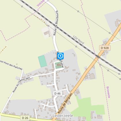
Map
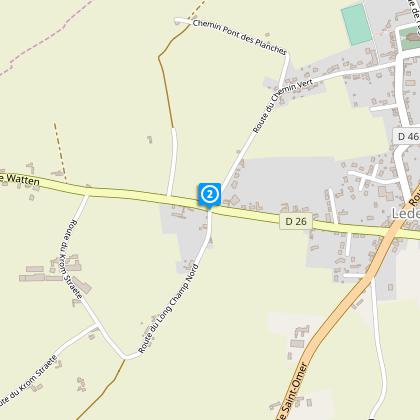
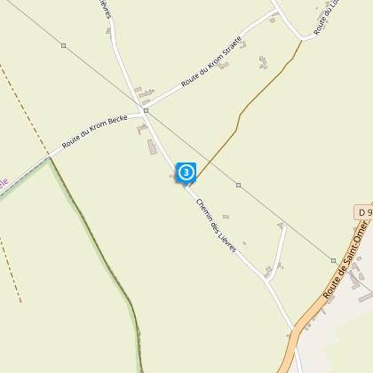
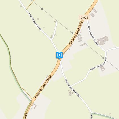
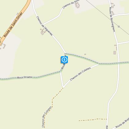
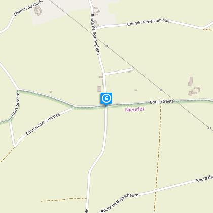
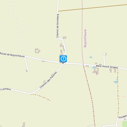
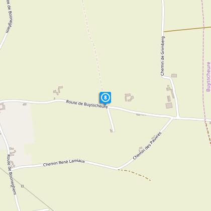
Steps
Cirkwi brief's
Ratings and reviews
See around
From one motte to another


Credit : Nord Tourisme
The Cirkwi brief
Explore Scenic Flanders: Idyllic Walk Through Lederzeele
Embarking on this picturesque trail crafted by Nord Tourisme will transport you into the heart of Flanders' serene bocage. This journey, characterized by lush pastures, intricately woven hedges, and tranquil ponds under weeping willows' canopy, captures the essence of tranquility and natural beauty. The trails provide expansive views across the hills dividing inland Flanders and Artois, with the distant Clairmarais forest painting a breathtaking backdrop. Along the way, encounter charming Flemish homes, their gardens abloom, showcasing the region's vibrant flora. This route, less traversed, offers a unique blend of nature and culture, promising an unforgettable exploration.
Brief Technical Overview
This walking journey spans approximately 8.63 kilometers, with a modest altitude fluctuation between 20 and 40 meters above sea level. The total positive elevation gain stands at 27 meters, indicating a relatively gentle terrain throughout the route. Marked with yellow, the path ensures straightforward navigation, accommodating walkers of various skill levels. The route's design by Nord Tourisme takes advantage of the natural topography and cultural landmarks, creating an immersive experience without demanding excessive physical exertion.
Seasonal Tips and Safety Advice
As you prepare to traverse this enchanting trail, remember that each season adds its palette to the landscape. Spring and summer highlight the floral splendor and vibrant greenery, ideal for photography enthusiasts and nature lovers. During autumn, the changing leaves offer a spectacular display of colors. Winter, though colder and potentially wet, brings a stark beauty and tranquility. Always wear suitable footwear for the countryside and check weather forecasts prior to departure. Carry water, especially in warmer months, and respect local wildlife and flora along the route.
Historical and Cultural Significance
Lederzeele, a gem within the Nord department, lies at the crossroads of Flanders and Artois, areas rich in history and tradition. This region, historically contested and culturally blended, offers insights into the Flemish architectural style and rural heritage evident along the route. The bocage landscape, an emblematic feature of Flanders, has played a crucial role in the area's agricultural practices and ecological diversity. This trail not only showcases natural beauty but also weaves through a tapestry of historical and cultural narratives that have shaped this unique corner of France.
Regional Weather Insights for Visitors
The climate in this part of Flanders is temperate with significant rainfall throughout the year, even during the drier months. Summers are comfortable, often making this season the most favorable for exploring the natural and cultural landmarks the route offers. Conversely, winters can be quite chilly and damp, requiring appropriate attire for those adventurous enough to venture out. To fully appreciate the trail's beauty without the inconvenience of rain or excessive heat, spring and early autumn emerge as ideal times for your visit, offering mild weather and the opportunity to witness the seasonal transformations of the landscape.
Automatically generated.
Technical Information
Walking
Difficulty
Very easy
Duration
2h50mn
Dist.
8.6 km
Type of practice
Walking
Very easy
2h50mn
Show more
Altimetric profile
Starting point
Eglise
,
59143
LEDERZEELE
Lat : 50.8247705382Lng : 2.30273731925
Steps
Data author

Ratings and reviews
To see around