Alert
Alerts
La route des lavandes - Lavender road by bike
Description
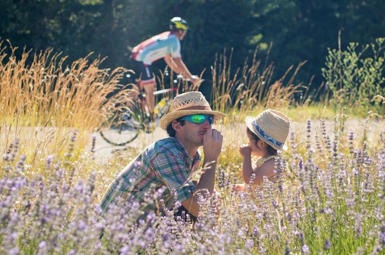
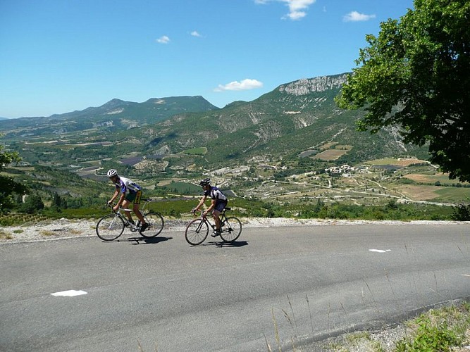
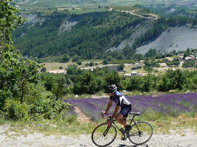
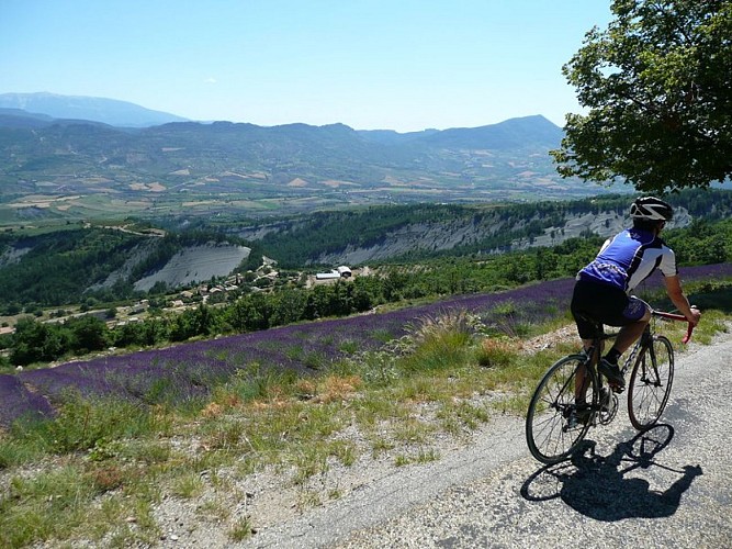
Stretching about 100 kilometers, this challenging loop through the Drôme offers a diverse exploration of the Baronnies Provençales. It passes through several mountain passes, including the Col de Perty and its magnificent winding road lined with linden trees. From mid-June to mid-August, when the lavender fields are in full bloom, cyclists can look forward to an exhilarating ride with purple as far as the eye can see.
From Rosans, take the D 994 below the village and head toward Verclause and the Eygues Gorges.
When you reach La Combe, turn left and begin the 8-km climb up the Col de Soubeyrand (a steady gradient of over 6%, with sections exceeding 9%).
Continue toward Bellecombe-Tarendol, then Saint Sauveur Gouvernet. Pass the Col de Peyruergue 6 km further on.
At the intersection, take the D 546 for 1.5 km, then the D 65 toward the Moulin de Montguers.
From Ruissas, continue the climb up the Col de Perty via a winding road for 9 km.
From the Col de Perty, descend for 8 km. Turn left before the village of Laborel and head toward Villebois les Pins via the Col de Pierre Vesce (D 65b).
In Villebois-les-Pins, continue left and cross the Col du Reychasset (1,052 m).
Then head to Chauvac. At the village exit, take the D 116 to the Moulin de Mange-Fêve.
Return to Rosans via L’Aubergerie.
Technical Information
Altimetric profile
Starting point
Additional information
Public transport
Let’s limit our trips and use public transportation and carpooling: zou.maregionsud.fr
Advice
The Sisteronais Buëch region has been designated an “Espace Cyclosport” by the French Cycling Federation and meets high standards for welcoming road cyclists. Stop at the Col de Perty and its orientation table to enjoy an unparalleled panoramic view of Mont Ventoux and the Alps. Whether you’re traveling for one or several days, tailor your itinerary to suit your preferences. The Sisteron Buëch region offers a variety of lodging options along the way: www.sisteron-alpesprovencales.fr/organiser/hebergements/
Advised parking
Parking lot in the village centre near the tourist office in Rosans.
Access
From Serres (24 km), take the D 994 to Rosans.
Arrival
Chruch, Rosans
Departure
Chruch, Rosans
Data author
