Alert
Alerts
Geological Trail – Great Loop
Description
A trail for experienced hikers, featuring challenging climbs and stunning views.
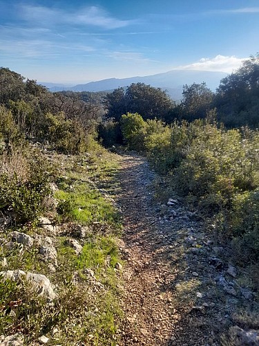
With ridgelines, steep ascents, and sections through the woods, this challenging route is sure to surprise you!
Trail Markings: yellow
Start at the welcome sign located in the parking lot across from the community center, walk behind it. At the end, turn right and head up the old Capendu trail.
When you reach a junction, turn right and continue straight for about one kilometer.
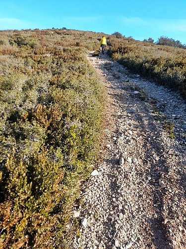
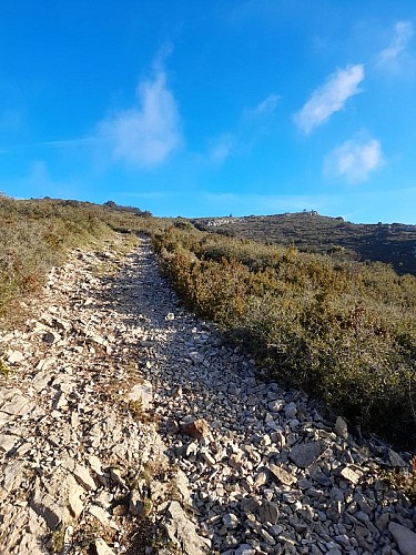
At a grassy pass, you can shorten the trail by about 2.6 km by taking the “Variante” trail to the right, which descends. Otherwise, tackle the steep climb straight ahead (130 m elevation gain).
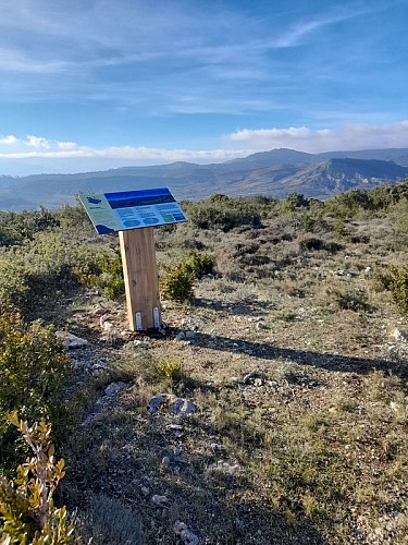
Reach the ridge line and head right, following the route shared with the GR 36 (marked with red and white) as well as another trail (marked with a yellow cross). A little further on your left, a short round-trip path will take you to a superb viewpoint.
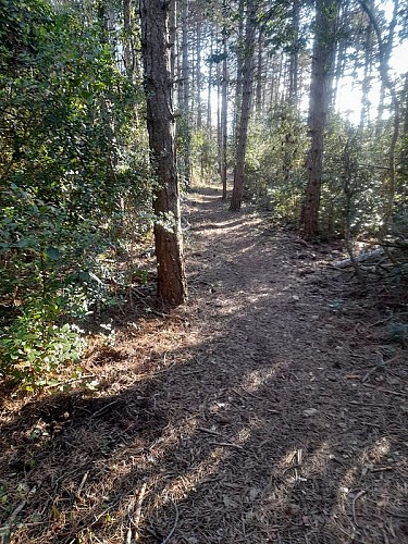
Return to the original path, then continue through the woods—a very pleasant walk in the summer.
Once again, a directional sign pointing to the right will lead you down a slope for about 1 km toward the Roquenégade farm; you are now on your way back. At the very bottom, you’ll pass through olive groves and vineyards.
At the trail, turn right and stay on it for about 1.3 km. Another sign will direct you to turn right into a field and head to the top of it. It’s a short climb, but you’ll enjoy the view, the vegetation, and the stroll along a path that will lead you into a small valley toward the village, where you’ll return to the parking lot.
Tips: Don’t forget your water bottle and a hat. We do not recommend hiking the entire trail in the summer, as the ascent is very sunny.
Technical Information
Altimetric profile
Starting point
Additional information
Public transport
RTCA Ligne I
Advice
Ne pas oublier gourde, chapeau. La randonnée complète n'est pas conseillée en été, la montée étant fortement ensoleillée. Forte exposition au vent également.
Advised parking
Parking du plan d'eau, face au foyer
Access
From Carcassonne, take the D6113 toward Route des Corbières. Then, at the entrance to Trèbes, turn right onto the D3 and continue to Pradelles-en-Val Val-de-Dagne, passing through Fontiès and then Monze.
Arrival
PRADELLES-EN-VAL – lake parking lot
Ambiance
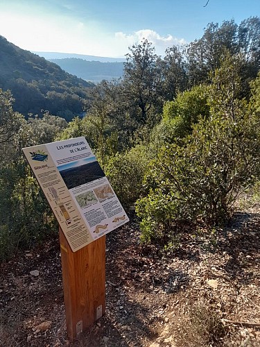
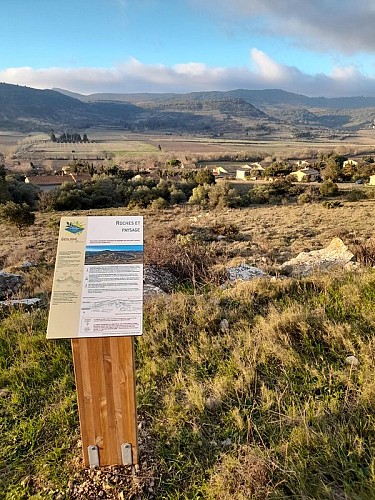
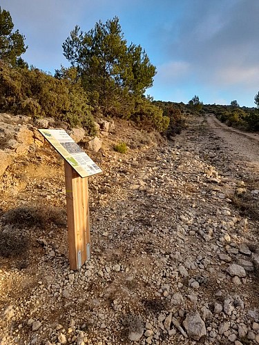
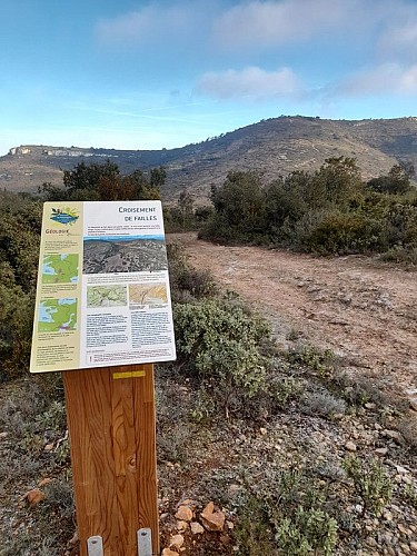
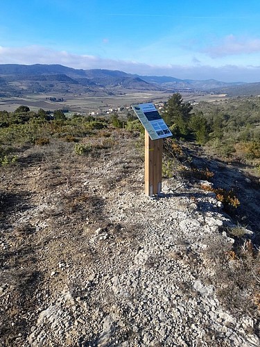
Along the way, several informational signs help shed light on various geological mysteries. Why does it feel like you’re walking on a fossilized sea in the heart of the garrigue? How is it possible to find water in such an arid environment, devoid of permanent streams, amidst rocks and plants adapted to drought? What role do the tilted rock layers play in this phenomenon? Can simple undulations in the terrain reveal the grand stories of Earth’s evolution? And where can you see rocks dating back 320 to 400 million years?
Departure
PRADELLES-EN-VAL – lake parking lot
Data author
