Alert
Alerts
Le Péage
Description
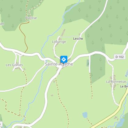
From Saint-Agathe and its church, we head for the ruins of the château de Montguerlhe or "Mont-guerle", the mountain from which we can watch. It was built after the feudal war between the Damas de Couzan in Forez and the Meymont d'Olliergues d'Auvergne.
Technical Information
Altimetric profile
Starting point
Steps
Additional information
Open period
From 01/01 to 31/12 daily.
Subject to favorable weather.
Distinctions
Listed PDIPR
Environments
In the country
Forest location
Presence of livestock and guard dogs
Contact
Phone : 07 85 96 70 89
Email : sylviane.echalier-tronchon@vacances-livradois-forez.fr
Website : https://www.auvergne-livradois-forez.com
Location complements
From the village of Celles-sur-Durolle, take the D7 towards Vollore-Ville. After 5 km, turn right onto the D102 towards Sainte-Agathe.
Updated by
Conseil départemental du Puy-de-Dôme - 02/06/2026
www.puydedome-tourisme.com/
Report a problem
Reception complements
For your own safety, always take a bottle of water, a hat, warm clothing and footwear suitable for walking.
Depending on weather conditions, certain itineraries are not recommended in bad weather (fog) or are not practicable, or even forbidden, during the winter season.
Some sites are fragile, so stay on the marked trails. Avoid picking wild flowers and disturbing wildlife. Pick up your garbage.
Animals are not allowed on some routes.
Guidebook with maps/step-by-step
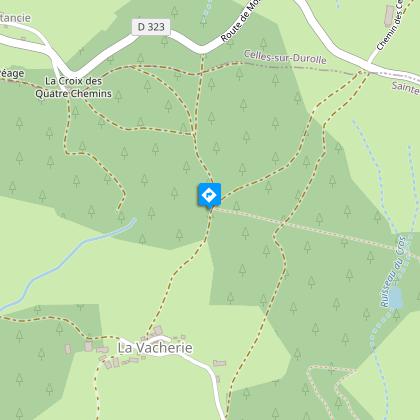
1/ From Sainte-Agathe village square, take the road to the left of the church towards the village of La Vacherie. After 1 km, turn off onto the track leading down into the woods. Keep to the main downhill path. At the carriage road, turn left. After 400 m, before the hairpin bend, take the left-hand path through the woods alongside the yellow gas poles. Continue up the main path until you reach a crossroads.
2/ Take the second track on the right, which continues to climb slightly. After 300 m, fork left onto a path entering the woods. Keep to this path until you reach an isolated house. Take the path opposite to a second house. Turn left opposite the house. After 30 m, keep to the slightly uphill path. At the crow's-foot, take the right-hand path. Just before the rise, take the left-hand path. At the T junction, turn left onto the downhill track. Stay on the main track until you reach the tarmac road. Take the road opposite. At a house (Chez Pateille), go straight on. As you go downhill, leave the track and turn left into the woods.
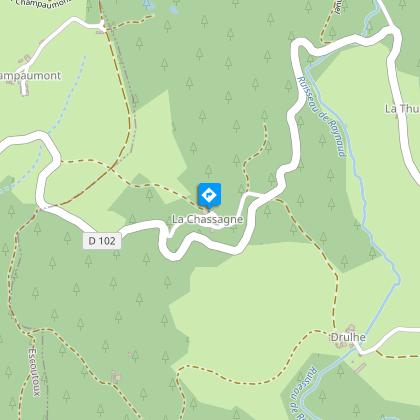
3/ At the Chassagne houses, continue left along the small road until you reach the D102. Go straight downhill. At Drulhe, turn left. Pass over the pond dike and, at the crossroads, turn right onto the grassy path. At the hamlet of Pommier, turn left onto the D 131. After 50 m, turn right onto a road running alongside a wall. At a bend to the left, fork completely left onto a grassy track that leads up to Sainte-Agathe. Reach the church.
Proposed and managed by the Conseil départemental du Puy-de-Dôme - PDIPR.
Animals
Yes. Dogs must be kept on a leash due to the presence of herds.
Data author
