Alert
Alerts
Les Prats-de-la-Chau
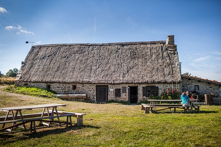
Description
A beautiful high-altitude circuit which, on a clear day or at sunset, offers views of Mont-Blanc and the Vanoise and Écrins parks. This slightly longer circuit is exceptional for the panoramic views from Prats-de-la-Chau.
Technical Information
Altimetric profile
Starting point

Additional information
Tips
View over the Vaissière valley, the Chaise-Dieu plateau, the Roue keep, the Vivarais region, the Pilat massif, the Lyonnais mountains and the Alps.
Updated by
Conseil départemental du Puy-de-Dôme - 03/07/2026
www.puydedome-tourisme.com/
Report a problem
Environments
In the country
Forest location
Mountain location
Presence of livestock and guard dogs
Distinctions
Listed PDIPR
Open period
From 01/01 to 31/12 daily.
Subject to favorable weather.
Location complements
From Ambert, take the D 996 towards Montbrison. 8 km after the Col des Pradeaux, enter Saint-Anthème.
Contact
Phone : 07 85 96 70 89
Email : sylviane.echalier-tronchon@vacances-livradois-forez.fr
Website : https://www.auvergne-livradois-forez.com
Reception complements
For your own safety, always take a bottle of water, a hat, warm clothing and footwear suitable for walking.
Depending on weather conditions, certain itineraries are not recommended in bad weather (fog) or are not practicable, or even forbidden, during the winter season.
Some sites are fragile, so stay on the marked trails. Avoid picking wild flowers and disturbing wildlife. Pick up your garbage.
Animals are not allowed on some routes.
Guidebook with maps/step-by-step
1/ From Place de l'Aubépin, in front of the Tourist Office, follow the D 996 towards Montbrison, until you leave the village. Shortly after the Saint-Anthème exit sign, leave the road and fork left between the trees. Cross the hamlet of Grange-Neuve and continue straight ahead (view of the Vaissière valley, the Chaise-Dieu plateau and the Roue keep).
2/ At the Chabrioux exit, follow the asphalt road. Leave the road, walk a few metres on the track and then turn left towards the transformer. Turn left again at the next intersection. Cross the road and go straight on, avoiding the hamlet of Saint-Yvoye. Turn left towards Les Chorons. Leave the tarmac road on your left and go straight up into the woods.
3/ Turn right at the crossroads. Cross the forest track at the intersection and take the small track opposite. Leave a path on the right and head towards Les Prats-de-la-Chau (view of the Vivarais, Pilat massif, Monts du Lyonnais and the Alps). At the second building, cross a stream and climb up to the left. Turn left at the crow's-foot.
4/ Take the left-hand track for 350 m, then turn right. After 450 m, turn left and follow the path through the undergrowth. At the clearing, turn right at the crossroads. At the Maison de la Reculas, turn left at the edge of the woods. Once on the road, turn left.
5/ Enter the hamlet of Bergougnoux and take the first track on the right. Cross the bridge at crow's feet, then follow the stream. Take the road on the left to reach the center of Saint-Anthème.
Proposed and managed by the Conseil départemental du Puy-de-Dôme - PDIPR.
Animals
Yes. Dogs must be kept on a leash due to the presence of herds.
Data author
