Alert
Alerts
La Ligonne
Description
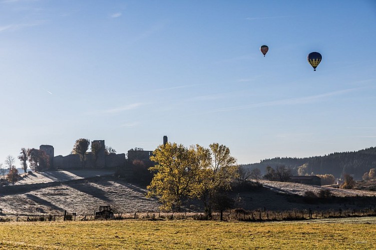
From the picturesque streets of the medieval village of Viverols and its 13th-century castle, the route leads into the beautiful forest of Les Taillades, where pines, firs and majestic beech trees compete for the title of most beautiful tree on the route.
Technical Information
Altimetric profile
Starting point
Additional information
Tips
Heritage
Updated by
Conseil départemental du Puy-de-Dôme - 03/06/2026
www.puydedome-tourisme.com/
Report a problem
Environments
In the country
Forest location
Presence of livestock and guard dogs
Distinctions
Listed PDIPR
Open period
From 01/01 to 31/12 daily.
Subject to favorable weather.
Location complements
From the village of Saint-Anthème, take the D261 and follow it for 13 km towards Viverols. Start in front of the Viverols church.
Contact
Phone : 07 85 96 70 89
Email : sylviane.echalier-tronchon@vacances-livradois-forez.fr
Website : https://www.auvergne-livradois-forez.com
Reception complements
For your own safety, always take a bottle of water, a hat, warm clothing and footwear suitable for walking.
Depending on weather conditions, certain itineraries are not recommended in bad weather (fog) or are not practicable, or even forbidden, during the winter season.
Some sites are fragile, so stay on the marked trails. Avoid picking wild flowers and disturbing wildlife. Pick up your garbage.
Animals are not allowed on some routes.
Guidebook with maps/step-by-step
1/ From the Viverols church, take the cobbled street to the left of the church towards the château (stilettos not recommended). Follow the wall to the right as far as the second tower, then take the alley on the right that leads out of the village.
2/ At Maisons-Neuves, take the road to the left for 30 m, then turn left again onto a downhill path. Take the track on the right, and at the next junction turn left onto the downhill track. Keep to the main track, which crosses the Ligonne stream as far as the village of Gorce. Cross the village.
3/ On leaving the village, take the left-hand path. The path joins a clearing and skirts a stream. Turn right onto a track that rises into the woods. Come down on a good gravel path.
4/ Turn left onto the D111. After 50 m, take a wide track which turns left at right-angles and descends to Etruchat.
5/ At the last houses in Etruchat, turn left at the cross (green markings on the right-hand path). You'll come back through the narrow streets of Viverols. Leave the left-hand path and continue straight ahead.
Proposed and managed by the Conseil départemental du Puy-de-Dôme - PDIPR.
Animals
Yes. Dogs must be kept on a leash due to the presence of herds.
Data author
