Alert
Alerts
Sauvessannelles
Description
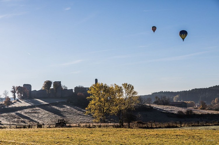
An easy walk from Sauvessannelles, the former Roman estate of Salvicius, along the banks of the Ance. After crossing a ford on a beautiful wooden footbridge, you can enjoy views of the Haute-Loire hills.
Technical Information
Altimetric profile
Starting point
Additional information
Tips
Views over the relief of the Haute-Loire.
Updated by
Conseil départemental du Puy-de-Dôme - 03/06/2026
www.puydedome-tourisme.com/
Report a problem
Environments
In the country
Presence of livestock and guard dogs
Distinctions
Listed PDIPR
Open period
From 01/01 to 31/12 daily.
Subject to favorable weather.
Location complements
From the village of Saint-Anthème, take the D 261 towards Viverols. In the village, take the D 205 towards Usson-en-Forez. 1 km after leaving the village, turn right onto the D57 towards Sauvessanges.
Contact
Phone : 07 85 96 70 89
Email : sylviane.echalier-tronchon@vacances-livradois-forez.fr
Website : https://www.auvergne-livradois-forez.com
Reception complements
For your own safety, always take a bottle of water, a hat, warm clothing and footwear suitable for walking.
Depending on weather conditions, certain itineraries are not recommended in bad weather (fog) or are not practicable, or even forbidden, during the winter season.
Some sites are fragile, so stay on the marked trails. Avoid picking wild flowers and disturbing wildlife. Pick up your garbage.
Animals are not allowed on some routes.
Guidebook with maps/step-by-step
1/ From Sauvessanges church, drive a few metres on the D57 towards Viverols, leaving it at the first bend. Take the steep climb to the left towards the transformer, then turn right towards the Vialle chapel, before descending to La Valette.
2/ After La Valette, cross the D57 to take the path leading downhill. Go through a coniferous wood and cross a stream. At the Stade du Bandier, turn left at almost 180° to follow the slightly overhanging Ance river. After crossing a ford on a wooden footbridge, you reach the hamlet of Bleyrat. Continue towards Cohande, then turn left into the hamlet.
3/ Cross the D57 again, then climb through a small wood, before coming out on level ground onto a track. At Rochette-Ribier, follow the road as far as Grenier, then turn right onto a narrow, uphill track (with views of the Haute-Loire hills: Vivarais, Velay and Devès). Continue along this ledge to Sauvessannelles.
4/ After the chapel, turn right and continue straight ahead through the forest. Go downhill on a stony track before reaching the cemetery, then turn right at the transformer. Continue to the church.
Proposed and managed by the Conseil départemental du Puy-de-Dôme - PDIPR.
Animals
Yes. Dogs must be kept on a leash due to the presence of herds.
Data author
