Alert
Alerts
Type of practice
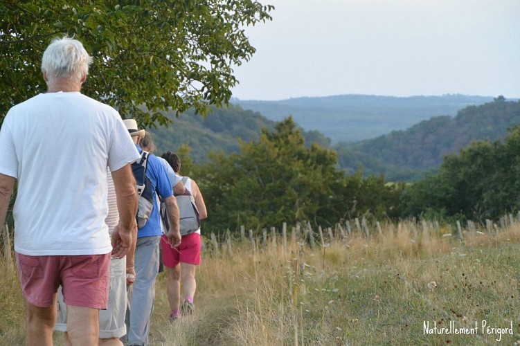
Walking
Medium
Presentation
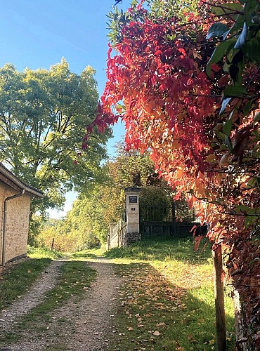
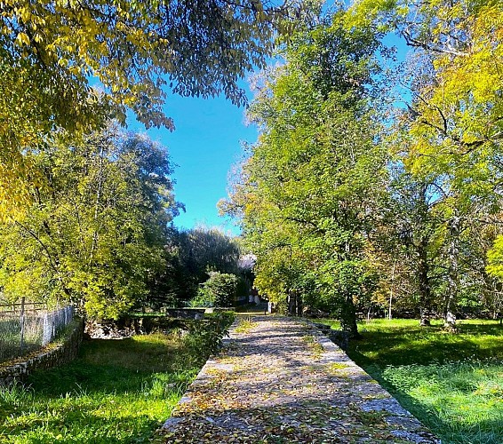
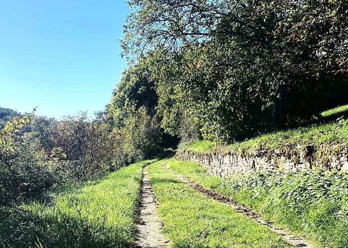
Description
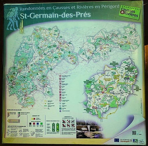
Map
Steps
Ratings and reviews
See around
Boucle des aviateurs
IGN cards

1934SB - PÉRIGUEUX EXCIDEUIL
Editor : IGN
Collection : TOP 25 ET SÉRIE BLEUE
Scale : 1:25 000
13.90€

154 BRIVE-LA-GAILLARDE TULLE FIGEAC PNR DES CAUSSES DU QUERCY (NORD)
Editor : IGN
Collection : TOP 100
Scale : 1:100 000
8.40€

153 PERIGUEUX BERGERAC PÉRIGORD
Editor : IGN
Collection : TOP 100
Scale : 1:100 000
8.40€

D23-87 CREUSE HAUTE-VIENNE
Editor : IGN
Collection : CARTES DÉPARTEMENTALES IGN
Scale : 1:150 000
5.90€

D24 DORDOGNE
Editor : IGN
Collection : CARTES DÉPARTEMENTALES IGN
Scale : 1:150 000
5.90€

EUROPE
Editor : IGN
Collection : DÉCOUVERTE DES PAYS DU MONDE IGN
Scale : 1:2 500 000
7.00€
Description
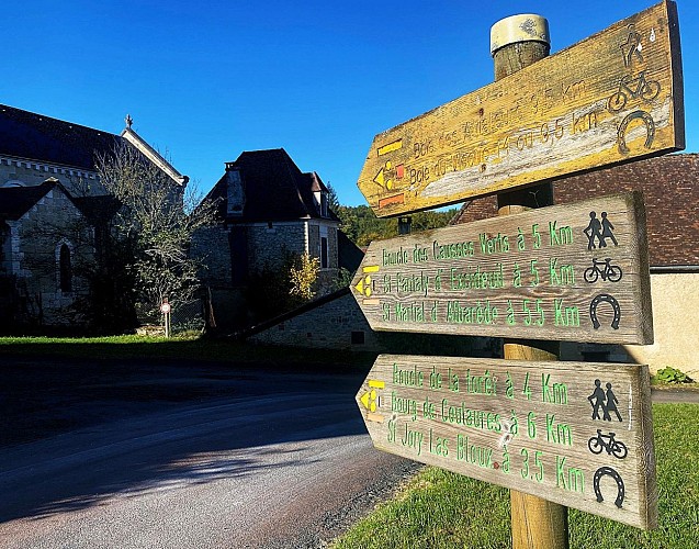
From the "Panneau d?Appel" sign in Place de la Mairie, climb up between the church and the Mairie, then turn right. At the crossroads, take the dead-end road opposite, then cross the Roman bridge.
Technical Information
Walking
Difficulty
Medium
Dist.
8.9 km
Type of practice
Walking
Medium
Show more
Altimetric profile
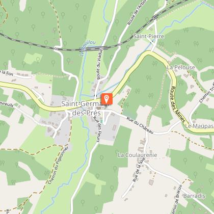
Starting point
1 Place du Château
,
24160
SAINT-GERMAIN-DES-PRES
Lat : 45.3420827Lng : 0.99222357
Additional information
Contact
Fixed telephone : +33 5 53 52 29 79
Office de Tourisme Naturellement Périgord
Web site (URL) : www.naturellementperigord.fr/index.php/fr/
e-mail : tourisme@naturellementperigord.fr
Balisage
Yellow
Typologie de l'itinéraire
Loop
Thèmes
Natural
Data author

proposed by
OT Naturellement Périgord
24160 France
Ratings and reviews
To see around