Alert
Alerts
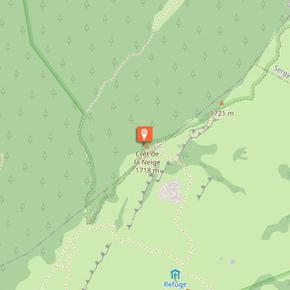
Snowshoe trail: from Bergers to Crêt de la Neige


Description
Put on your snowshoes and set off to conquer Crêt de la Neige, the highest peak in the Jura mountains at 1,720 metres. A wild and panoramic adventure with magnificent views of the Alps, Mont Blanc, Lake Geneva and the Valserine Valley.
The Crêt de la Neige, the highest peak in the Jura, invites you to enjoy a snowshoe hike in the heart of spectacular landscapes. Along the way, you will be treated to a succession of panoramic views: Mont Blanc, the Swiss Alps, the Lake Geneva basin, nearby Geneva, Salève, the Écluse gorge and the Hautes-Combes du Jura... a magnificent setting that rewards your efforts.
The route runs through the Haut-Jura Regional Nature Park and partly through the Haute Chaîne du Jura National Nature Reserve: a protected and preserved area to be explored with respect.
Please note – Protected area
Part of the route crosses the Haute Chaîne du Jura National Nature Reserve, which is subject to specific regulations:
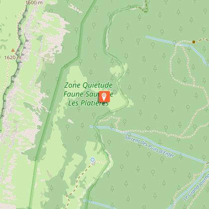
The trail crosses a quiet zone, closed from 15 December to 30 June; while you have permission to pass through, you must stay on the marked trail and not leave it.
Dogs are not permitted, even on a lead.
Please respect these rules to preserve the richness of this exceptional environment.
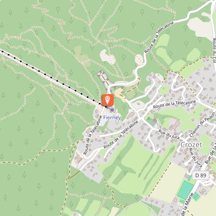
This snowshoe hike uses the Fierney cable car and Bergers combined lift; please ensure that they are open.
Technical Information
Altimetric profile
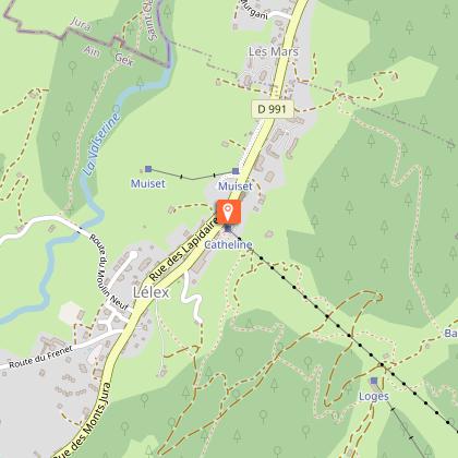
Starting point
Points of interest
Additional information
Contact
Phone : 04 50 28 09 16
Website : https://www.paysdegex-montsjura.com
Open period
From 01/12 to 31/03 daily.
Accessible during the cable car's operating hours.
Subject to favorable snow and weather conditions.
Environments
In a nature reserve
Mountain view
Mountain location
Ski resort
Bottom of slopes
Type of land
Non-groomed itinerary
Topo guides and map references
Map references :
3328OT - CRÊT DE LA NEIGE
TRACK MAPS: From the ENJ
MAP: Hiking in the Pays de Gex and the Haute Chaîne du Jura. On sale at the Tourist Office
Updated by
Office de Tourisme du Pays de Gex - 09/07/2026
www.paysdegex-montsjura.com
Report a problem
Reception complements
▶Preparing for a winter outing in the mountains
Before setting off on a hike, snowshoe or ski tour, there are a few key steps you need to take to ensure your safety and that of your companions.
▶1. Check the weather and conditions
Check the general and local weather conditions (changes during the day, fog, wind, etc.).
Find out about the quality of the snow (powdery, icy, blowing snow, etc.).
Make sure there is no precipitation forecast.
▶2. Prepare your route
Study the approach, the height of the route and the access conditions.
Estimate the journey time and look for possible escape routes.
Use reliable resources: IGN maps, GPS, topographical guides.
▶3. Assess the risks
Seek advice from local professionals: guides, refuge wardens, tourist offices, etc.
Take account of natural hazards (avalanches, fog, slippery terrain, etc.).
▶4. Inform your friends and family
Share your itinerary, departure and return times.
Give the number of participants and their telephone numbers.
Indicate the vehicle(s) you will be using and where you will be parking.
▶5. Check your equipment
-Never go off on your own.
-Use equipment that is suitable for the activity, properly adjusted and in good condition.
-Take along :
-Headlamp
-Complete first aid kit
-Survival blanket
-Mobile phone + external battery
-Water bottle + snacks
-Wear clothing suited to the weather (cold, wind, damp...).
-Appropriate hiking boots, including for children.
-Walking poles recommended for balance and comfort.
▶6. In the event of a problem
In Europe, dial 112, the free emergency number.
Guidebook with maps/step-by-step
(1) From the Télécombi des Bergers arrival station, follow the purple-marked snowshoe trail. The route runs along the summit of Monthoisey, crosses the Combe à Fournier and joins the green Anémones trail.
(2) At this junction, turn left onto the yellow-marked hiking trail (PR). You are now entering the Haute Chaîne du Jura National Nature Reserve. The trail climbs gradually towards Grand Crêt (1,702 m), offering beautiful views of the ridges.
(3) Shortly after a location called ‘Sous le Crêt’, the GR® (red and white signs) coming from Lélex joins the route. Continue northwards to the summit of Crêt de la Neige, the highest point in the Jura mountains.
(4) Return via the same route.
Animals
No. Dogs strictly forbidden in the Nature Reserve
Data author
