Pic Galinié
Description
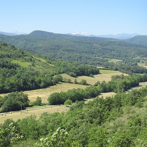
Dominating Dun and the valley of Douctouyre, the Peak Galinié is the culminating point of this loop from where one will admire the panorama on the massif of Tabe and the country of Mirepoix.
Technical informations
9.4 km
|
max. 449 m
min. 328 m
266 m
| ||||||||||||
Styles : HikingMountainForest Public : Occasional hikers | |||||||||||||
Altimetric profile
Starting point
Steps
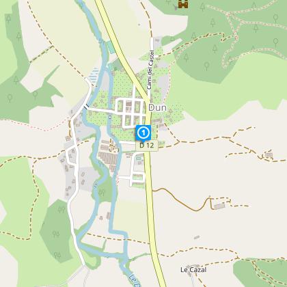
Starting point in front of the town hall, under the rows of plane tress
From the stone cross opposite the school, where there is a sign indicating the start of the trail, follow the yellow markers. At the first fork in the road, bear right along the path heading up towards Le Pic Galinié.
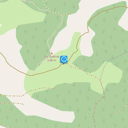
Step 2
At the foot of Le Pic Galinié, go down to your left to arrive at Le Pape.
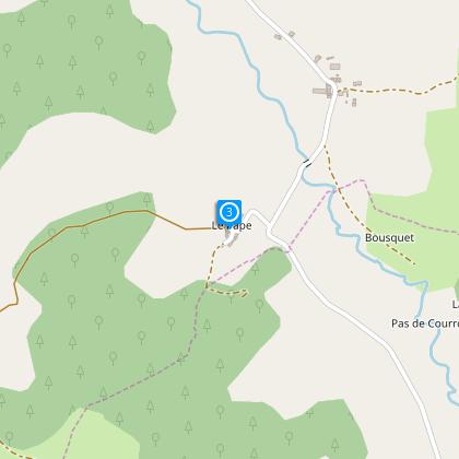
Step 3
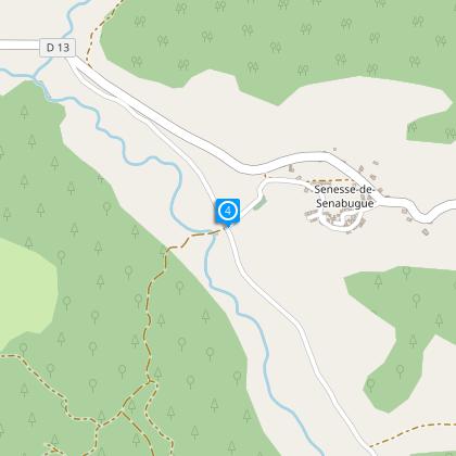
On the way out of Le Pape, take the road on the left, go through the hamlet of Cartiès and carry straight on for 1.9km until you come to an intersection with the road leading up to the village of Senesse de Senabugue.
Step 4
At the intersection with the road leading up to Senesse, take the left-hand path which goes down towards the ford. Then follow the main pathway up between the hills before coming back down again towards the Château de Dun.
Points of interest
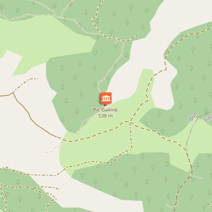
The Pic Galinié
From Pic Galinié, altitude 537 meters, take the time to admire the view of the peaks of the Tabe massif: Foucat, Saint-Barthélémy, and Soularac.
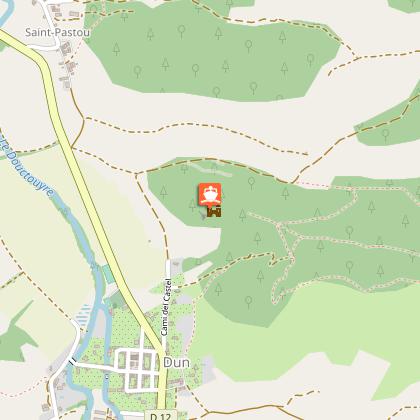
Dun Castle
Castle Dun (which would have hosted Cathars, hence its current name "Cathar castle") is located on a hill overlooking the village (434 m). We can assume that the top of the hill has been resized to form this big hill on which it is located. This building may not be the original castle because the walls seem to date from a later reconstruction.
Additional information
To see
Dun Castle:
Castle Dun (which would have hosted Cathars, hence its current name "Cathar castle") is located on a hill overlooking the village (434 m). We can assume that the top of the hill has been resized to form this big hill on which it is located. This building may not be the original castle because the walls seem to date from a later reconstruction.
The Pic Galinié:
From Pic Galinié, altitude 537 meters, take the time to admire the view of the peaks of the Tabe massif: Foucat, Saint-Barthélémy, and Soularac.
Data author
