Alert
Alerts
Type of practice
Walking
Easy
2h
Mountainbiking
Riding
Presentation
Description
Map
Steps
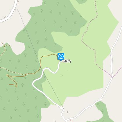
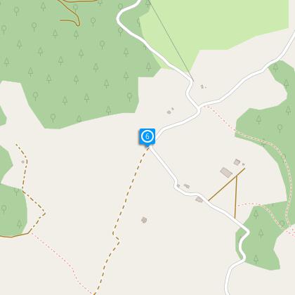
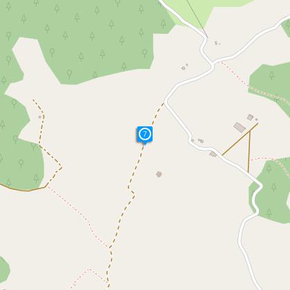
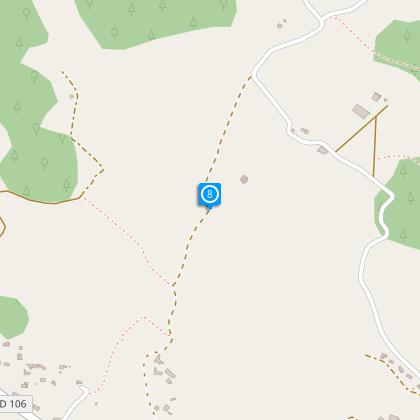
Points of interest
Ratings and reviews
See around
Chemin de Pezegado

Description
This family walk takes the shady paths of the slopes of Mirepoix.
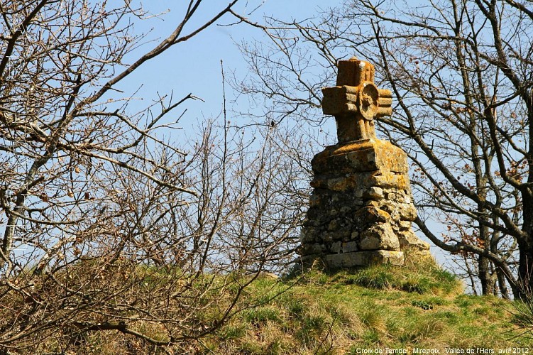
From the Croix of Terride the view extends from the bastide to the massif of Tabe and to Bastonis where is a breeding of deer. You can see these magnificent animals closely with a little discretion and a lot of luck.
Technical Information
Walking
Difficulty
Easy
Duration
2h
(1d)
Dist.
6.4 km
Type of practice
Walking
Easy
2h
Mountainbiking
Riding
Show more
Altimetric profile
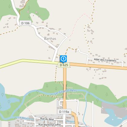
Starting point
D625
,
09500
Mirepoix
Lat : 43.0963Lng : 1.8763
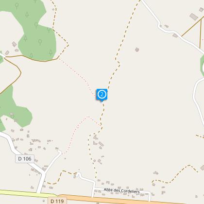
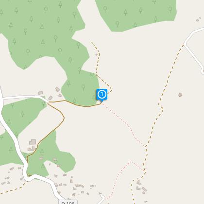
Steps
Additional information
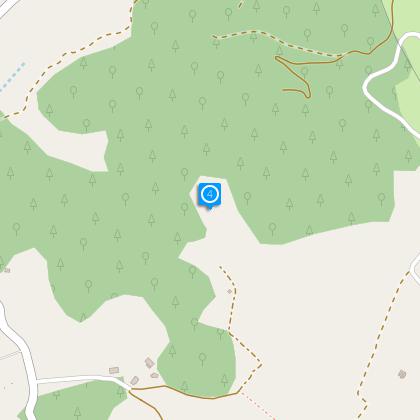
To see
The Croix of Terride :
It marks the meeting of several paths including one is an old Roman road going to the hamlet of Bize. The vertical stone of slightly curved shape probably comes from a keystone which could be issued from the Castle of Terride.
Data author

proposed by
Office de Tourisme des Pyrénées Cathares
3 place Albert Gabarrou 09300 Lavelanet France
Ratings and reviews
To see around