Le Tour du Massif de TABE
Description
This sporting loop that takes place in three days from Montferrier, takes you on the peaks of the Massif de Tabe, before relief of the Pyrenees. Mont Fourcat the Pic St Barthelemy, you will not miss any of our iconic heights.
Technical informations
36 km
|
max. 2342 m
min. 693 m
2506 m
| |||
Styles : HikingMountain Public : SportsmenExperienced hikers | ||||
Altimetric profile
Starting point
Steps
Step 1
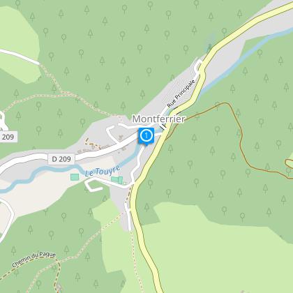
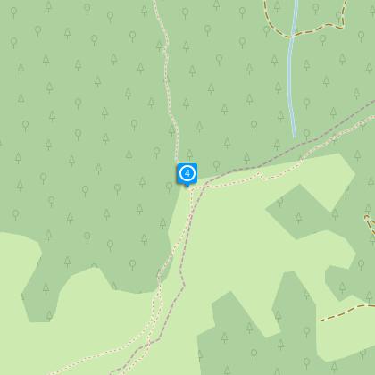
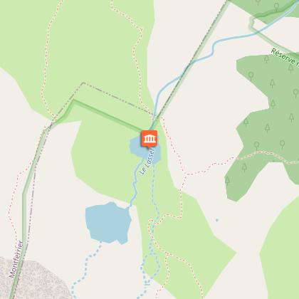
Departure Montferrier Camping site ( Latitude 42 89092/Longtitude 177941
Step 2
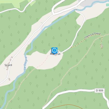
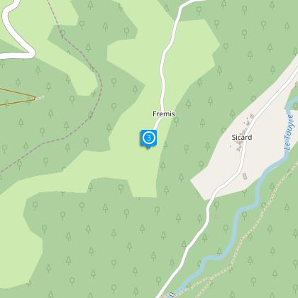
Climb as far as the tennis court and head towards the Hamlet of Martinat, descend to Camp Gros, cross the river « Le Touyre « and climb in the direction of the Hamlet of Fremis 5.5 km markings yellow and red.
Step 3
Before reaching the Hamlet head left as far as Coulobre 5.7Km On your left is a marked Refuge (Prat Moussu) and is open to the public ( See Trail No 15 )
Step 4
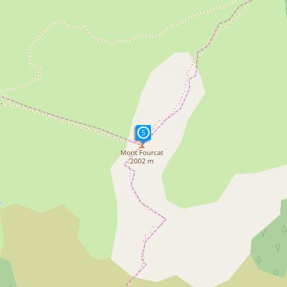
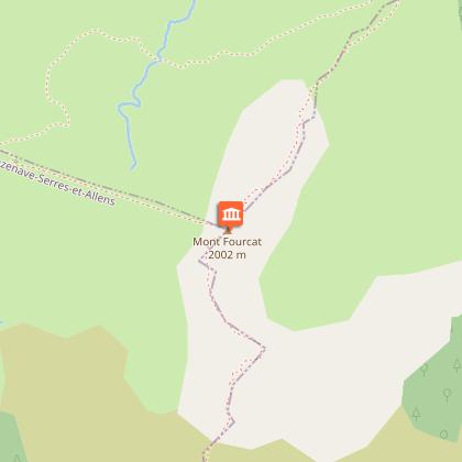
At the intersection turn right and head for Mont Fourcat (2.8 km)
Step 5
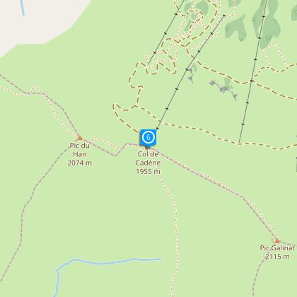
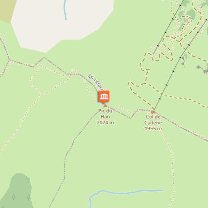
Descend to the Col d’Aigues Torte and then the summet of Estagnole and the Pic du Han (4.5 km)
Step 6
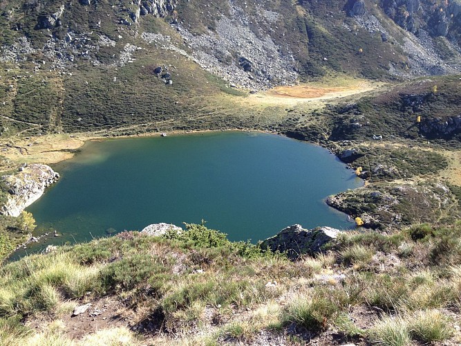
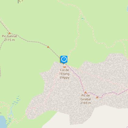
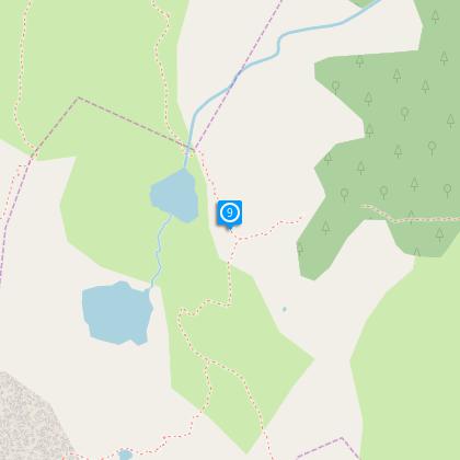
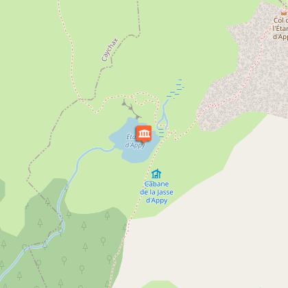
Descend to the Pass de Cadene on your right as far as the Etang ( lake) d’Appy ( Lake Refuge ). Bypass the lake and climb to the pass of the Etang d’Appy (5.5 km)
Step 7
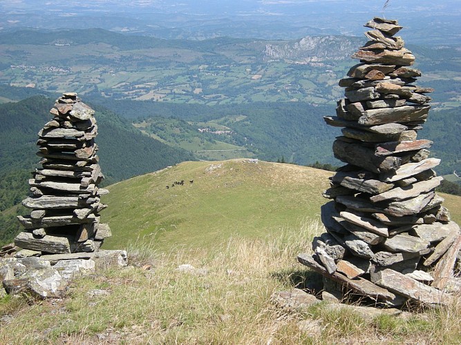
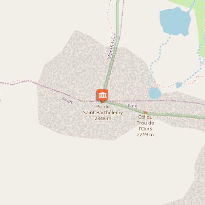
At the peak climb to the Pic de Girabel and then descend to the south side of the pass of the same name and then climb to the Pic de Saint Barthelemy.
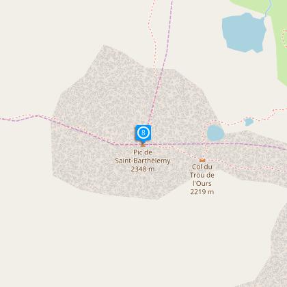
Step 8
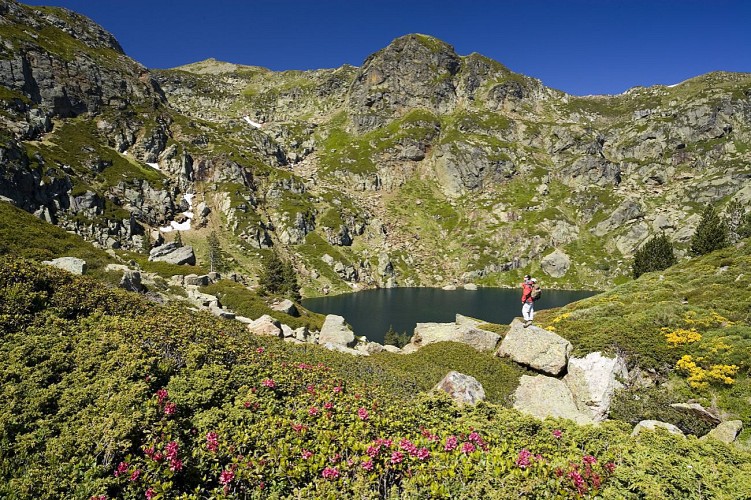
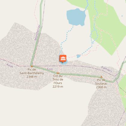
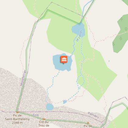
Descend to the pass du Trou de l’Ours, then turn left to the higher lakes and the Devil’s lake.
Step 9
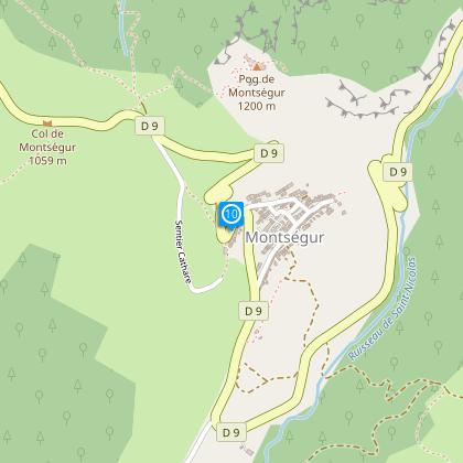
At the intersection follow the yellow and red markings towards the jasse of Pratmau (refuge open to the public) then continue through the forest to Montsegur .
Step 10
At Montsegur follow the Cathar Pathway which climbs to the Seguela pass then descend towards Montferrier (red and white markings )
Points of interest
Additional information
To see
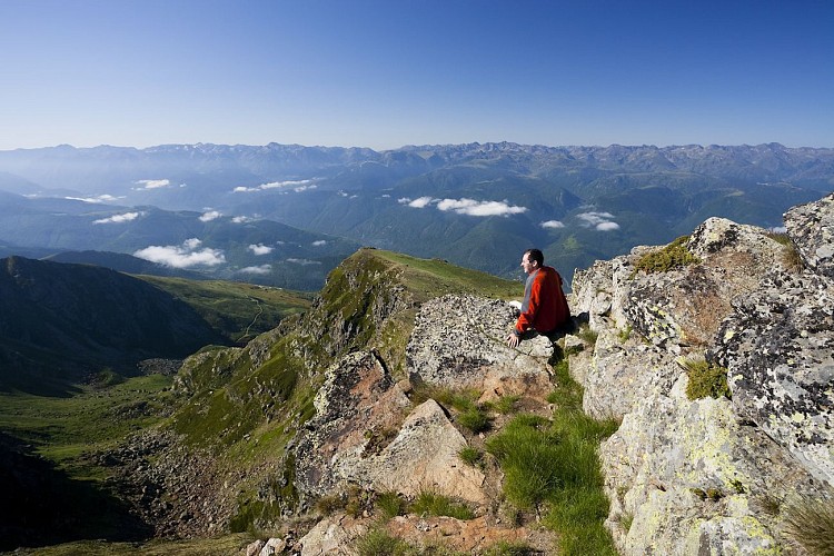
The Mount Fourcat
The Pic of Han
The Pic ST Barthélémy
The Appy pond
The Devil's lakes and trout
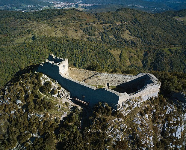
The castle of Montségur
Data author
