Tour du Pays d'Olmes Nord
Description
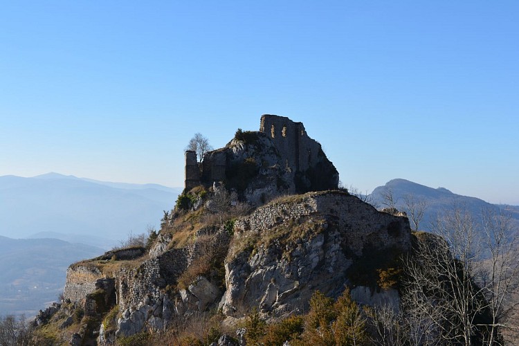
This is a tour that is done in two days on a path, both wooded and steep, along part of the river Hers, borrowing the old railway line through the Orris Castle Roquefixade.
Technical informations
36 km
|
max. 886 m
min. 447 m
821 m
| ||||||
Styles : HikingIn the countryMountain Public : Sportsmen | |||||||
Altimetric profile
Starting point
Steps
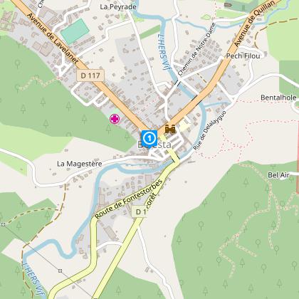
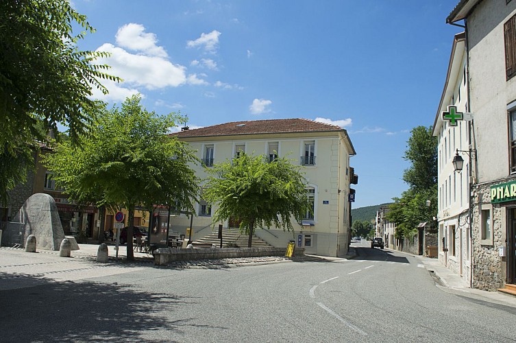
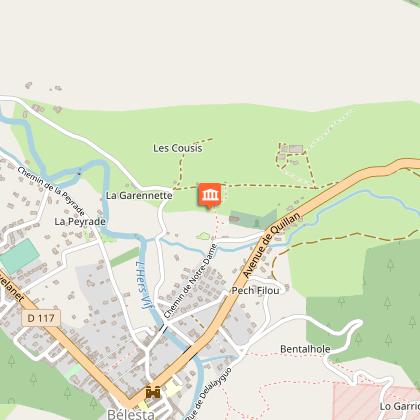
Starting point : Belesta from the square in front of the Mairie.
Cross the bridge over the river l’Hers and, turn left to the “Col del Teil”. (3km)
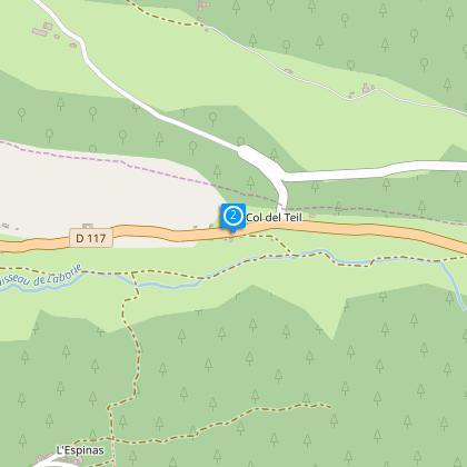
Step 2
Cross the D117 and descend to Pasquet (1.5km).
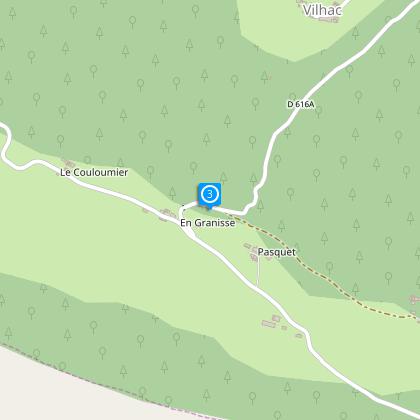
Step 3
Take the D606A and upstream rejoin the intersection of Vilhac.
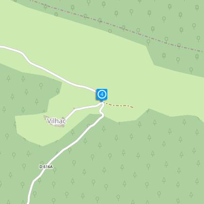
Step 4
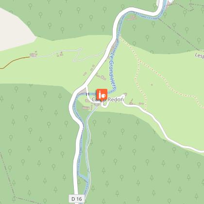
Take the minor road as far as “En Gauly” (2km) then descend to the hamlet of l’Aiguillanes and come to Camp Redon. (6.5km)
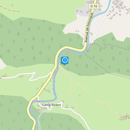
Étape 5
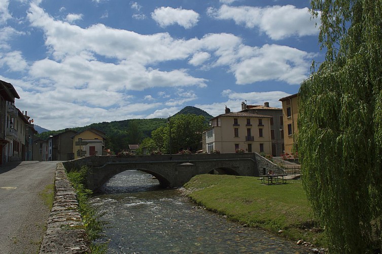
Traverser la rivière de L'Hers et remonter sur le hameau de la Bouyche pour arriver au village de Dreuilhe
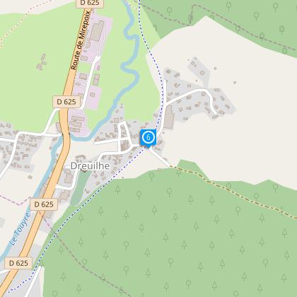
Étape 6
Emprunter l'ancienne voie ferrée puis traverser la rivière Le Touyre à L'Etounadou ( 1km300)
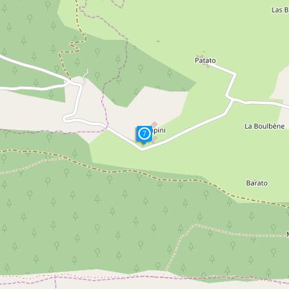
Étape 7
Remonter sur les hameaux de Rampini et de Fouet pour arriver à l’intersection de la Croix de Juncas (5km).
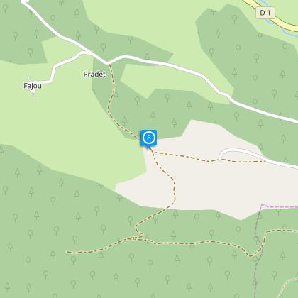
Step 8
Turn left and climb to “Grelou” and then descend by the “Pas de Mouillet” and Caza (7km).
Step 9
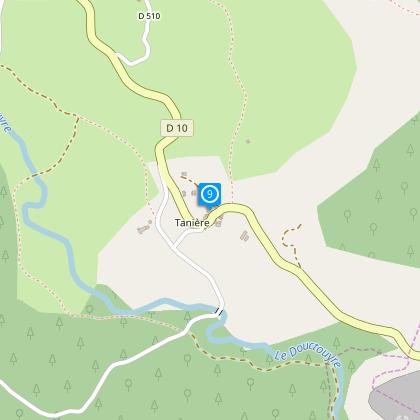
Turn left on the trail in the direction of Taniere, cross the D10 and descend to the Pichole bridge (2km) (River Douctouyre).
Step 10
Turn left on the trail in the direction of Taniere, cross the D10 and descend to the Pichole bridge (2km) (River Douctouyre).
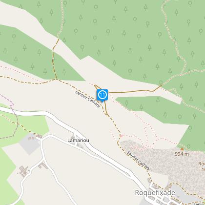
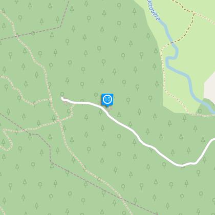
Step 11
Take the small road which passes the Bac d’en Bas and the Bac du Haut. (lower and higher Bac). Follow the Roquefixade ridged pathway. (4.5 km).
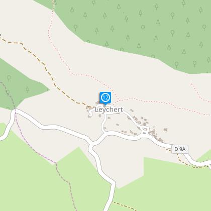
Step 12
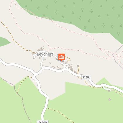
Walk for about 3.5km to arrive at the village of Leychert.
Points of interest
Additional information
To see
The comb factory horn
The Hers
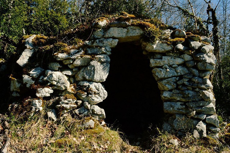
The dry stone huts " Orris "
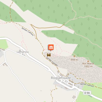
The Castle Roquefixade
The Castle and village of Montségur
Data author
