Alert
Alerts
Type of practice
Walking
Medium
5h
Mountainbiking
Riding
Presentation
Description
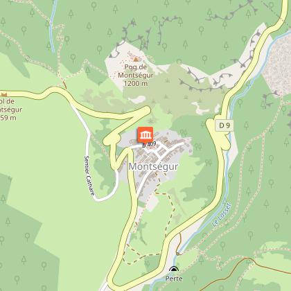
Map
Steps
Points of interest
Ratings and reviews
See around
Le chemin pave


Description
This historic trail steep and wooded, was for centuries the only route directly connecting the town of Lavelanet at Montsegur Castle once used by the Cathars . Seen impregnable Castle.
Technical Information
Walking
Difficulty
Medium
Duration
5h
(1d)
Dist.
8.8 km
Type of practice
Walking
Medium
5h
Mountainbiking
Riding
Show more
Altimetric profile
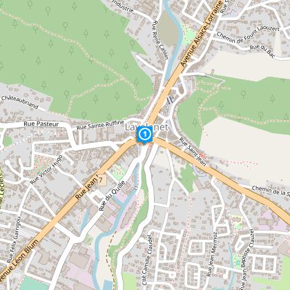
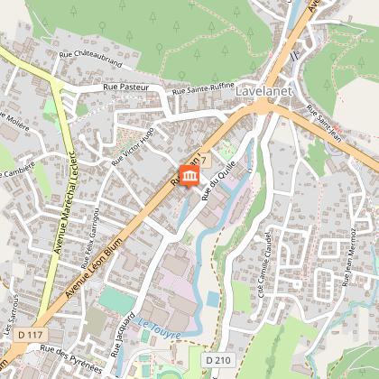
Starting point
14
Place Albert Gabarrou
,
09300
Lavelanet
Lat : 42.93246Lng : 1.84856
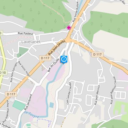
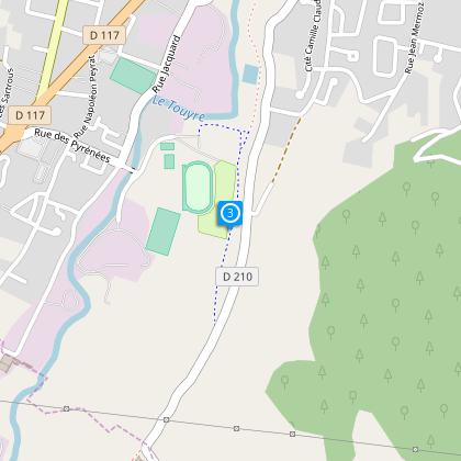
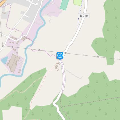
Steps
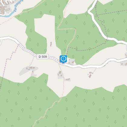
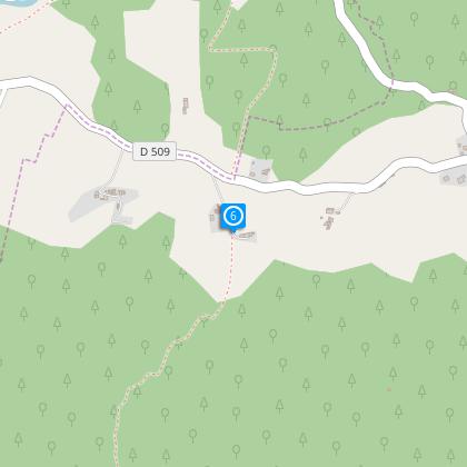
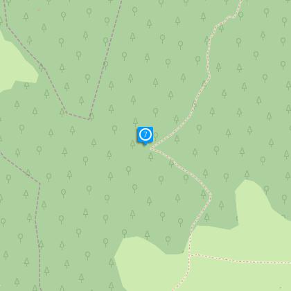
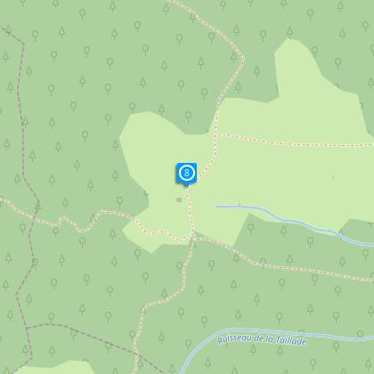
Points of interest
Additional information
To see
The textile museum and the horn comb in Lavelanet
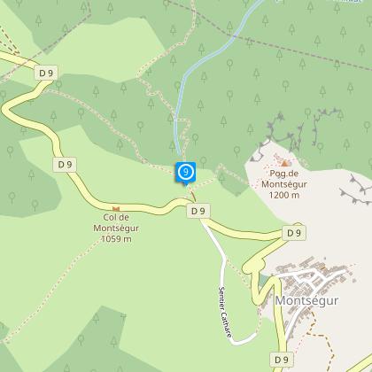
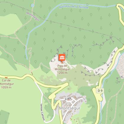
The castle of Montsegur
The fountain " miejo sole" Péchiquelle the ruins of the archaeological
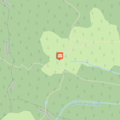
Museum in the village of Montsegur
Data author

proposed by
Office de Tourisme des Pyrénées Cathares
3 place Albert Gabarrou 09300 Lavelanet France
Ratings and reviews
To see around