Alert
Alerts
Type of practice
Walking
Easy
6h30mn
Swimming
Rowboat
Mountainbiking
Riding
Presentation
Description
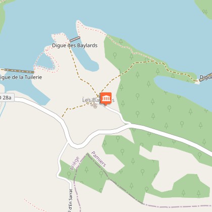
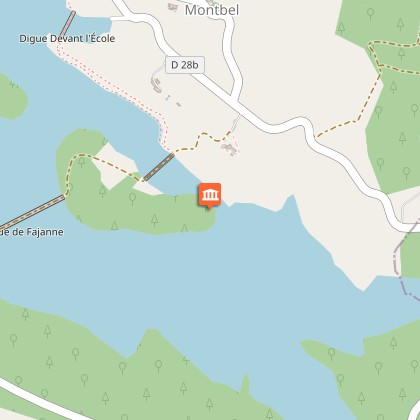
Map
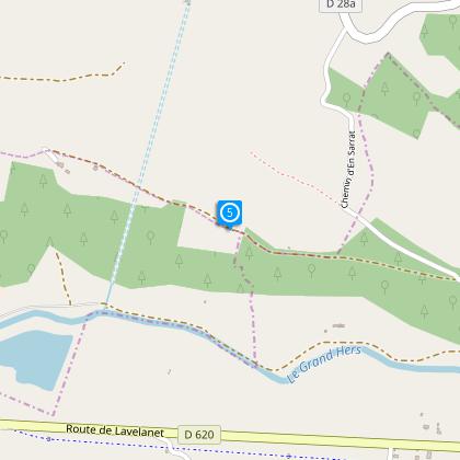
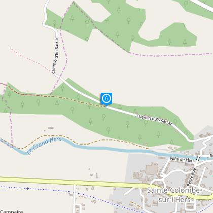
Steps
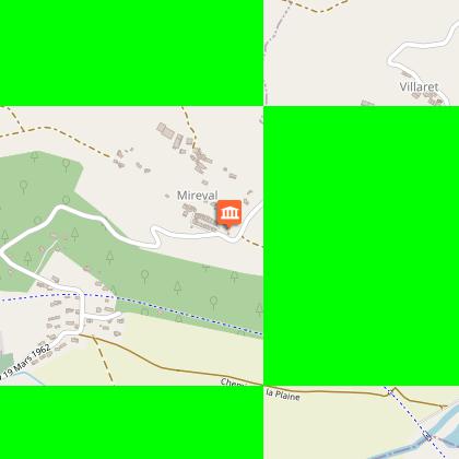
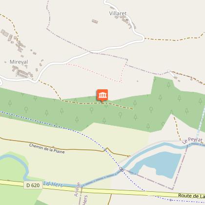
Points of interest
Ratings and reviews
See around
De la voie verte au lac de Montbel


Description
This beautiful route along the totally secure greenway lined with old stations and several tunnels lead you to Montbel lake with splendid views of points and a breathtaking panorama.
Technical Information
Walking
Difficulty
Easy
Duration
6h30mn
(1d)
Dist.
12 km
Type of practice
Walking
Easy
6h30mn
Swimming
Rowboat
Mountainbiking
Riding
Show more
Altimetric profile
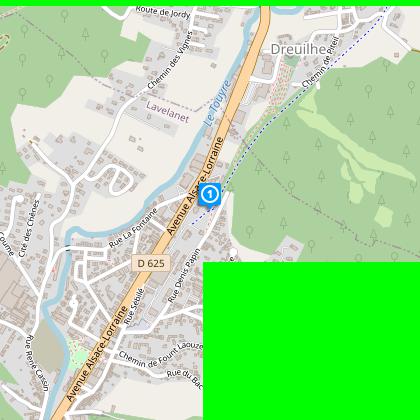
Starting point
58
Rue Denis Papin
,
09300
Lavelanet
Lat : 42.94197Lng : 1.85694
Steps
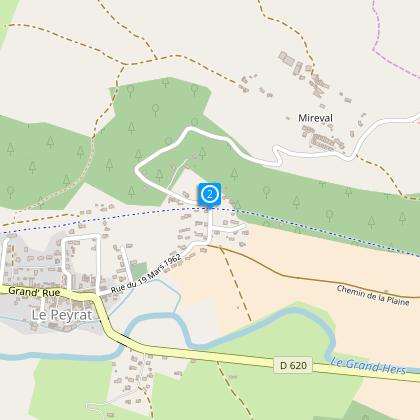
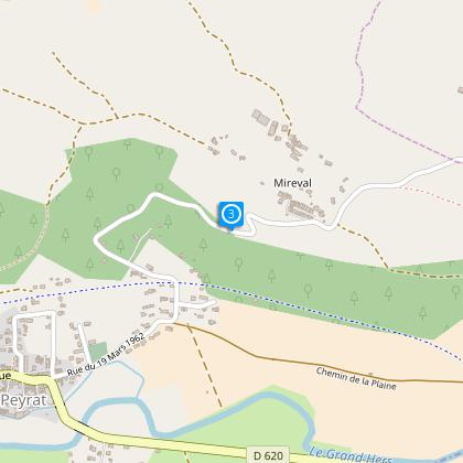
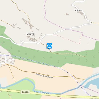
Points of interest
Additional information
To see
The churches of Dreuilhe, La Bastide / Hers and Peyrat
Perspective in Mireval .
The lake of Montbel
Data author

proposed by
Office de Tourisme des Pyrénées Cathares
3 place Albert Gabarrou 09300 Lavelanet France
Ratings and reviews
To see around