Forêt communale de Bélesta


Description
This lovely hike is in a beautiful pine forest that extends over 1,000 ha to Sault plateau . Composed of conifers, it is one of the most beautiful of the Ariege.
Technical Information
Altimetric profile
Starting point
Steps
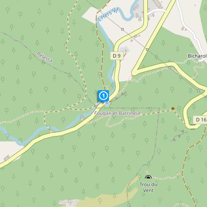
Starting point parking at Fontaine de Fontestorbes
From the parking head along the road (D9) towards Fougax and Montsegur for 200 meters, opposite an old sawmill on your right leave the road (markerss in yellow) to climb the pathway on your left. Climb for about 50 minutes to the Mayne site then descend again to the D16.
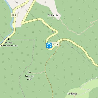
Step 2
Pass the Mayne bridge then climb to your right in the direction of Rieufourcant.
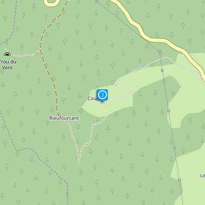
Step 3
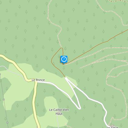
Cross the hamlet known as “Couquet” then take the path to your right which takes you a place known as the “Chateau” (about an hour).
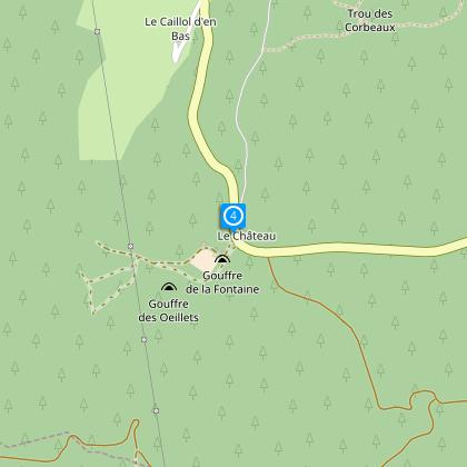
Step 4
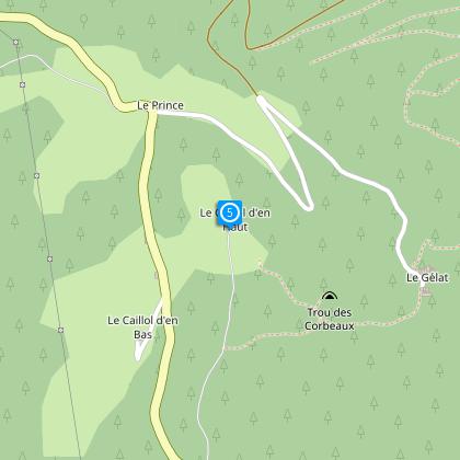
At the “chateau” carefully cross the D16 then take the forest route leading to “Caillol d’en haut” (20 minutes).
Step 5
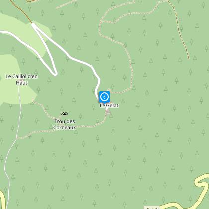
Cross the hamlet and climb to the right as far as the hamlet Gelat (on your left is the Trou des Corbeaux, a maintained site with a footbridge).
Step 6
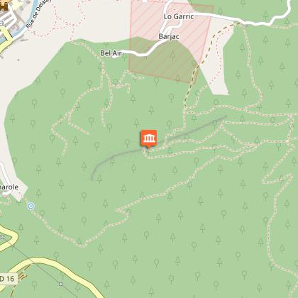
At Gelat go down to the small road till it crosses the Forest pathway and then climb to your right to the to the Bois Joli area. 35 minutes.
Step 7
From Bois Joli follow the TV mast along the Forest pathway (35 minutes) and then descend to Belesta (markings yellow and red) (See Walk no 7 Croix de Mille)
Points of interest
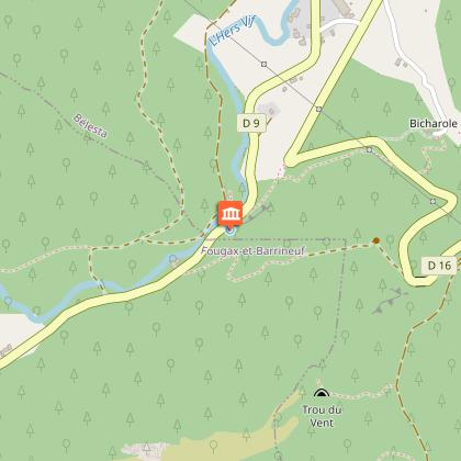
The intermittent fountain Fontestorbes .
One can, without fear of being accused of exaggeration, describe Fontestorbes as "Wonder of the World" and contrary to the seven wonders of the ancient world, all having in common to be the fact of the man, Fontestorbes is the only fruit of the chance of nature. A rare phenomenon and really extraordinary. For most of the year (7 to 9 months), the fountain runs constantly. On the other hand, during periods of low water from July to September, one day, it becomes abruptly intermittent over a complete cycle of about 60 to 90 minutes.
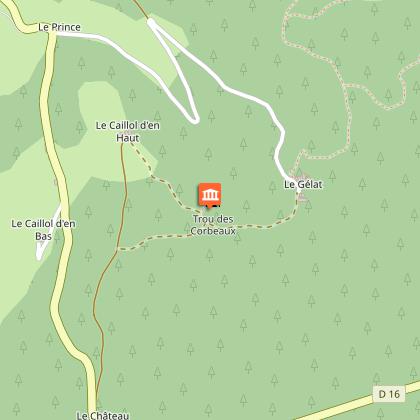
The abyss of the Crows
Discovery of an exceptional natural environment At an altitude of 850 m, this chasm is about 60m by 30m and is accessible thanks to a platform of vision for a visit in full safety. It is the abyss of both absorption and collapse. The total depth reaches about 110m. This hole was a mass grave. When the horses were at the end of their life, their owner took them to this chasm. We guess then why this hole was prized crows.
The cross of Millet
Additional information
To see
The intermittent fountain Fontestorbes
The abyss of the Crows
The viewpoint of the cross of Millet
Data author
