La vallée du Douctouyre
Description
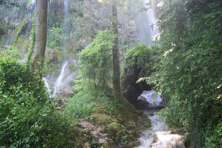
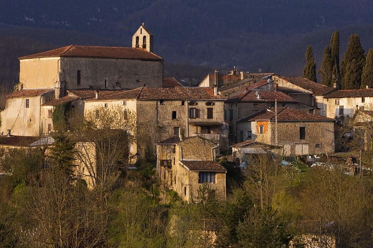
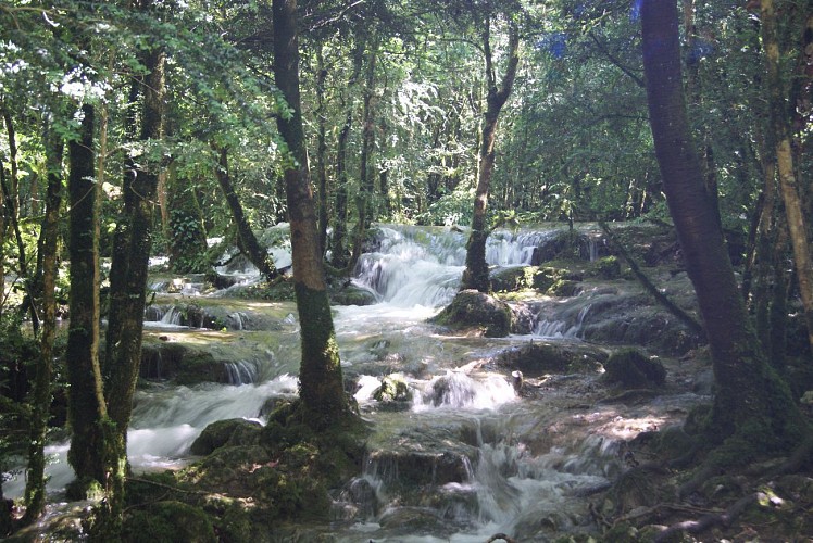
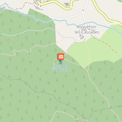
On the way from between Lieurac and Le Carla de Roquefort, you will cross the area De La Ville where are the church and the ruins of the old castle. If you start from Carla de Roquefort feel free to join the Cascades true geological curiosity forming a rare and very fragile phenomenon of tufa a height 30 meter further.
Technical informations
15 km
|
max. 649 m
min. 358 m
324 m
| |||||||||
Styles : HikingIn the country Public : Occasional hikers | ||||||||||
Altimetric profile
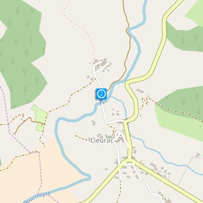
Starting point
Steps
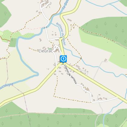
Starting point from Lieurac, Place de la Mairie
From the Mairie climb towards the church and then descend to the road that goes to Gouxiaud and cross the river “the Douctouyre” (800 metres).
Step 2
Leave the road after the bridge, and take the path on the left as far Carla de Roquefort (passing the Church).
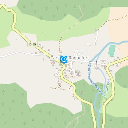
Step 3
At the end of the village, descend to the D10 turn left for 500 meters then go right climbing the forest pathway, to the Col des Escrozes (1.3 km).
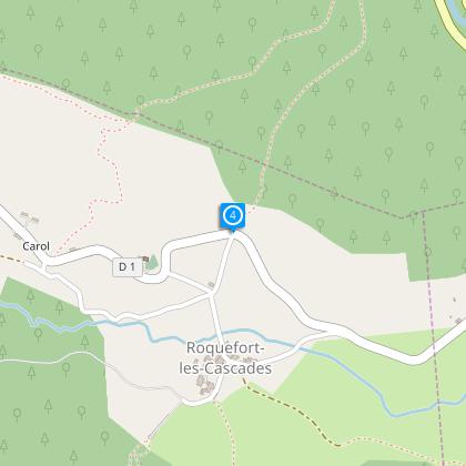
Step 4
Descend to Roquefort les Cascades, and in the village, head towards the cascades. (600 meters).
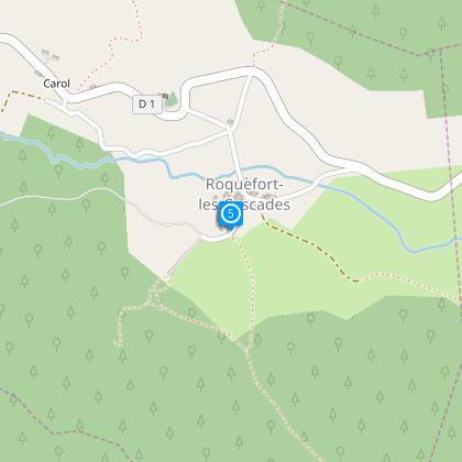
Step 5
At the end of the village climb left into the woodland to Bac d’en Haut (1.4KM).
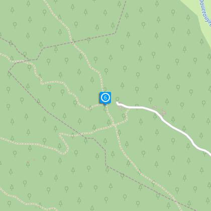
Step 6
Descend once more, to the small road (GR to Pays d’Olmes) in the direction of Taniere for 2 km, pass through the hamlet, all the time staying on the GR taking the direction of Cazal (1.4 km).
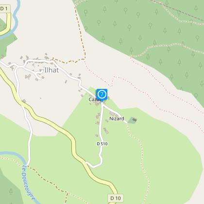
Step 7
At Cazal leave the GR and descend again road to the Hamlet of Ilhat (yellow markings) 600 metres, then turn right onto a forest pathway which climbs to the crest of the Mouillet Wood.
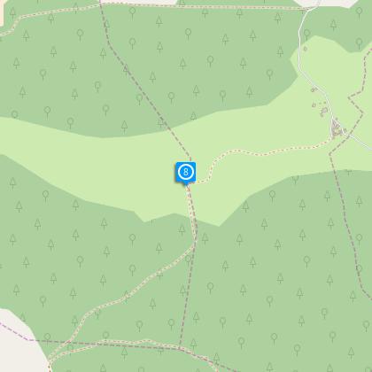
Step 8
Descend by the Mouillet Wood in the direction of Mane (2km) then in the Hamlet take the route in the direction of Terrassa (600 meters).
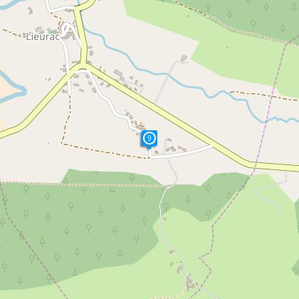
Step 9
Cross this Hamlet to return to Lieurac.
Additional information
To see
The waterfalls of Roquefort les Cascades (Turning away from the route)
Data author
