Les crêtes du Plantaurel


Description
The walk along the ridges allows you to have a panoramic view of the town of Lavelanet and Laroque d'Olmes . Following the ridges of Coulassou of Soula and Raissac you arrive at a place called “Fajane” near Gréoulou. Your tour ends along the greenway before returning to your starting point.
Technical Information
Altimetric profile
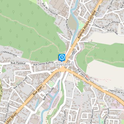
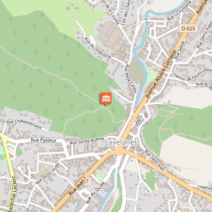
Starting point
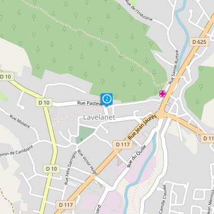
Steps
Départ du parking de l'esplanade de la concorde prendre la rue Sainte Ruffine
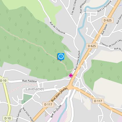
Step 2
Stop at the crossing of the D10 (Rue Marechal Joffre, Raissac) heading to Sainte Ruffine, turn right (the Ste Ruffine path) (yellow markings) take the stairs for about 200 meters (Table d’Orientation ) and viewing area onto the Massif de Tabe.
Step 3
At the base of the staircase which climbs to the Cross turn left (yellow markings) take the ridged pathway of Soula de Bensa and then to Raissac (1hour). Continue in the direction of Greolou, pass la Palombiere and the rejoin the road and cross the hamlet known as la “Fajane”. Follow the yellow markings on the left and follow the ridges of Coulassou and descend the pathway as far as the picnic area of Laroque d’Olmes (Entounadou)
Step 4
Follow the road (D625) to the right, then cross it to return to the small stone bridge that crosses the Touyre (markings in yellow and red) which leads to the Voie Verte.
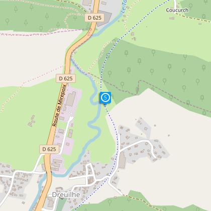
Step 5
On the Voie Verte turn right and go to the start that leads to the centre of Lavelanet and the departure point of the circuit.
Points of interest
Additional information
To see
The Oratory of Saint Ruffine
Data author
