Vallée du Touyre et de l'Hers
Description
From the church beautiful hiking without difficulty that takes you out of the village along the river Touyre before joining the greenway to the village of Dreuilhe. Fit beautiful wood the descend to the hamlet of Campredon before taking the Bastide sur l'Hers which leads you along the ridges to the Chapel St ROC to join Laroque d'Olmes.
Technical Information
Altimetric profile
Starting point
Steps
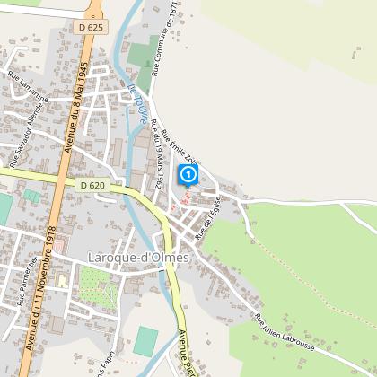
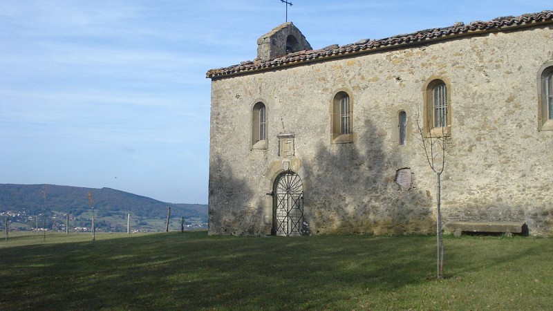
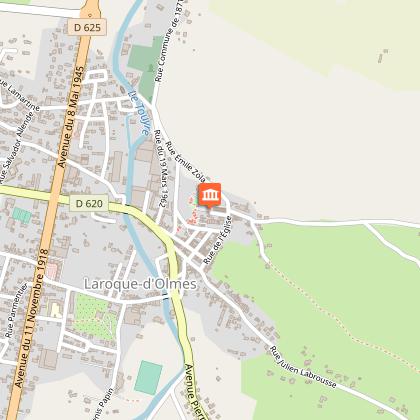
Starting point at the square of the Castella Church square. (Latitude: 42.96904°/Longitude 1.87143°)
From Castella descend by the left staircase and head for the centre of Laroque. Leave the square on your right and take the alleyway, which descends and then rejoins the D620 in the direction of La Bastide de l’Hers. Continue along the road for about 400 meters and then take a small road to your right along the Touyre onto the pathway. Continue along the river on the right bank to arrive at Entounadou (marked in yellow and red).
Step 2
Climb onto the old railway line and continue for about 800 meters.
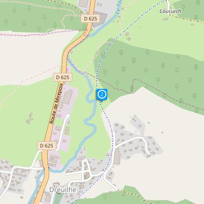
Step 3
Turn right onto the D16 for 400 meters then left and cross the l’Hers in the direction of the hamlet of Camp Redon
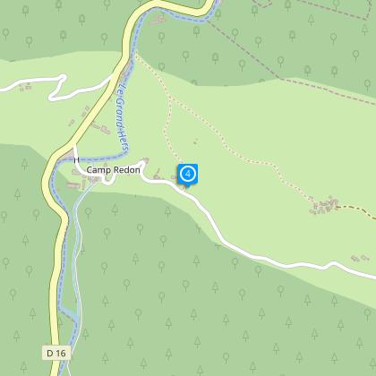
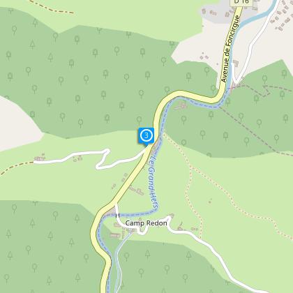
Step 4
In the centre of the hamlet turn left (GR7 Bis: markings white and red). Take the road for about 400 meters then turn left again and descend again on the right hand bank of the l’Hers (2km).
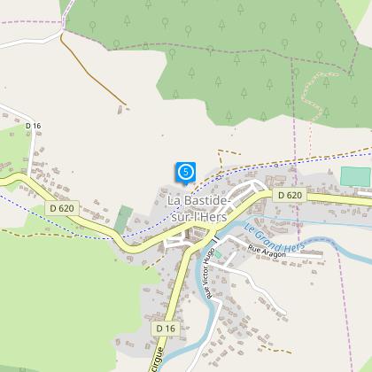
Step 5
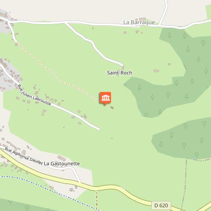
In the village rejoin the old railway line and go under the bridge to climb to the ridges (markings in yellow): the path continues to Laroque d’Olmes and passes the chapel of Saint Roc.
Points of interest
Additional information
To see
The church of Castella and the gazebo
The chapel Saint Roc.
Data author
