Alert
Alerts
SAINT REMY DE PROVENCE - Cycling from the Alpilles to Val d'Enfer
Description
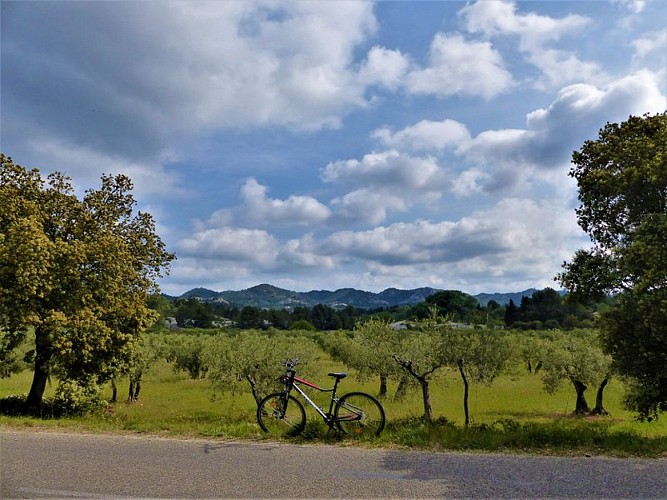
Go through the ages with the exceptional historical heritage of the Alpilles!
From the Inter communal Tourist Office of Saint-Rémy-de-Provence, take the D5 towards the Glanum site to the junction with Joseph d'Arbaud Avenue.
1 - Turn right on the avenue. Continue straight on "Chemin Gaulois" to the irrigation canal. Turn left after the canal, then take the old road on the left to Arles until the intersection with the D27.
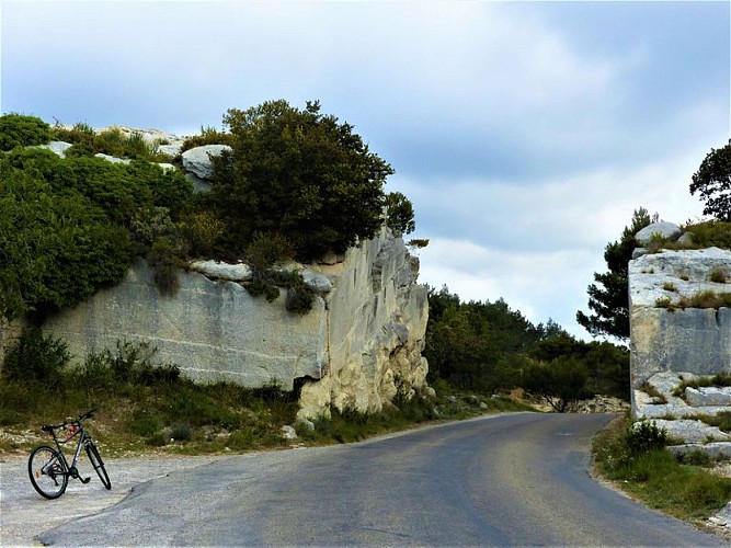
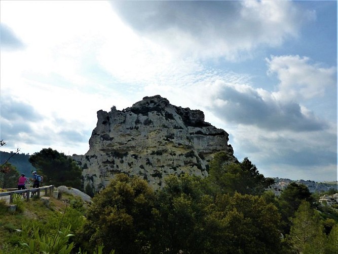
2 - Take the D27 left towards Les Baux-de-Provence. Climb the road for 4 km, then go down the Val d'Enfer to Baux-de-Provence.
3 - Continue on the D27 towards Maussane-les-Alpilles to the junction with the D78f. Turn left and continue until the intersection with the D17 in the heart of Maussane-les-Alpilles.
4- Cross the D17 and continue on the way to the pine forest. At the crossroads of the D78c, take it on the right. Continue to the center of Paradou and the intersection with the Belle Croix road.
5 - Turn left on Belle Croix road and continue for about 5 km until you reach the D33.
6 - Turn right towards Fontvieille, until you reach the junction with the D17a. Cross this crossroads and continue towards Saint-Etienne du Grès
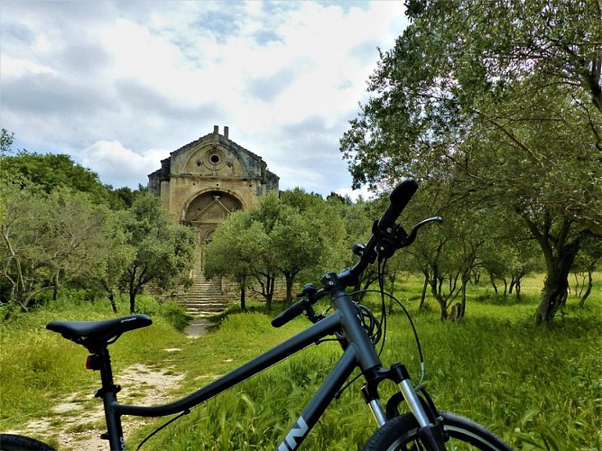
7 - (Caution!) At the intersection with the D33a, turn left and continue using the coloured shoulder to the Saint Gabriel chapel.
8 - Just after the chapel, turn right on the D32, always towards Saint-Etienne du Grès. Cross the village, past the town hall.
9 - Before the exit of the village, take on the right the little path of Notre-Dame-du-Château.
10 - After a small bridge, take on the left the path of Calanquet. Continue for 700 m then at the crossroads with the D31, turn right and continue to the center of Saint-Rémy-de-Provence. At the church, turn right to join the departure car park.
Technical Information
Altimetric profile
Starting point
Points of interest


Additional information
Public transport
.Look for public transport times on the site www.lepilote.com in the town of Saint-Rémy-de-Provence
Advice
Follow the red and white signs marked "Alpilles Val d'Enfer" of Bouches-du-Rhone department. For your safety, and for the preservation of forest areas, access to natural areas is regulated from June to September. inquire during the summer period on 08 11 20 13 13 (price of a local call) or on www.bouches-du-rhone.pref.gouv.fr download for free the application MYPROVENCE ENVIE DE BALADE (available on Appstore and Android Market)
Advised parking
Parking Place Jean Jaurès, Saint-Rémy-de-Provence
Access
24 km south of Avignon, by the D571 and the D34
Arrival
Saint-Rémy-de-Provence
Ambiance
With this loop you will be quickly rewarded by the beautiful landscape that offer the Val d'Enfer and Baux-de-Provence. In the heart of a calm and soothing environment, you will discover villages and heritage treasures, such as the remains of a Roman aqueduct or Daudet mill.
Departure
Inter communal Tourist Office, Saint-Rémy-de-Provence
